
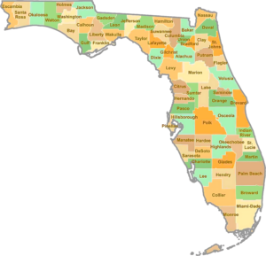
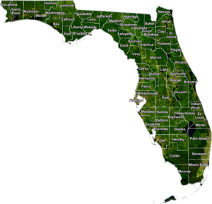
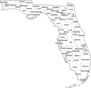
Explore the Florida County Map and view all 67 counties at a glance. Find county names, boundaries, major cities, county seats, population data, and detailed geographic information for Florida.
All Florida Counties: Names, Map & County Information
Explore all 67 counties in Florida with a detailed county list, map, county seats, and key information. Find every Florida county in one place here.
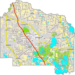
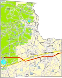
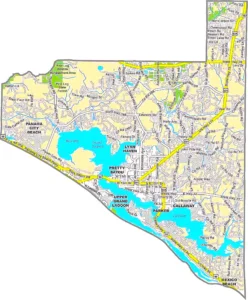
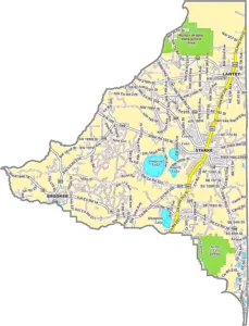
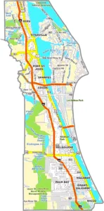
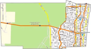
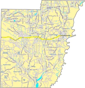
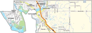
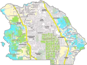
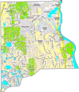
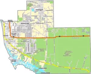
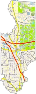
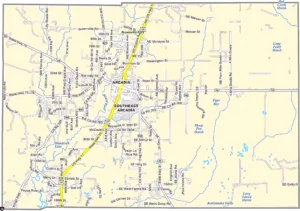
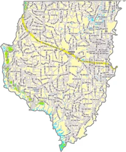
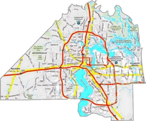
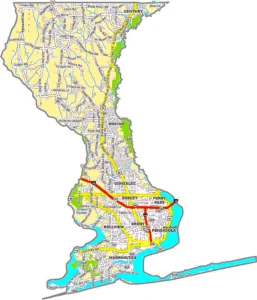
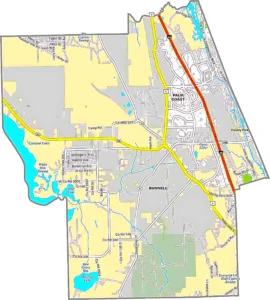
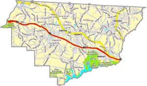
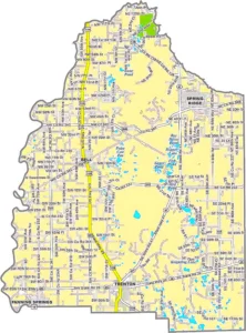
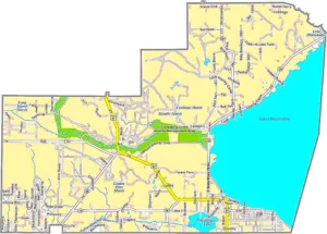
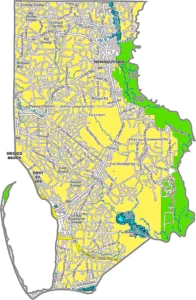
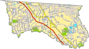
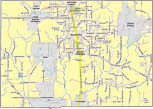
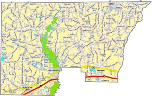
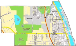
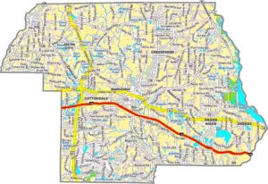
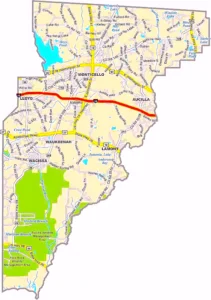
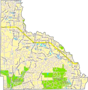
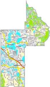
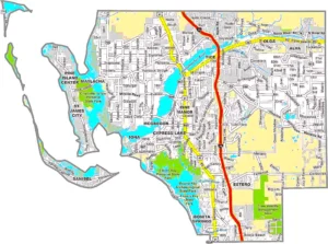
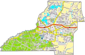
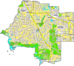
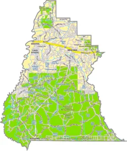
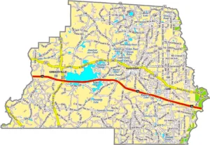
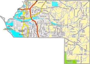
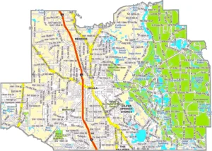
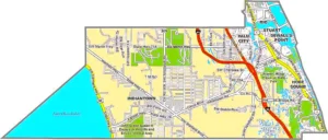
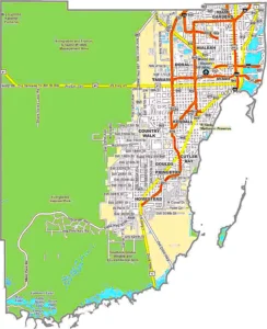
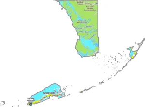
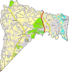
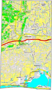
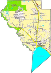
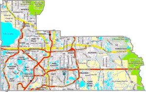
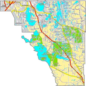
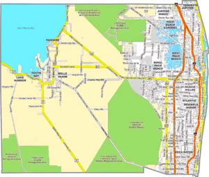
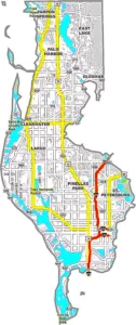
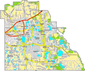
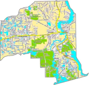
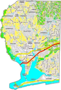
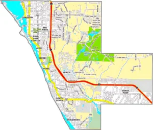
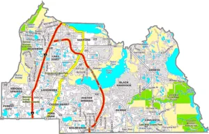
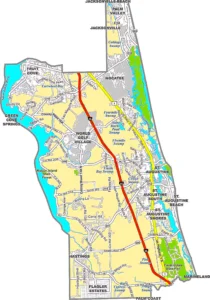
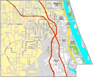
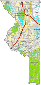
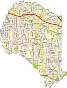
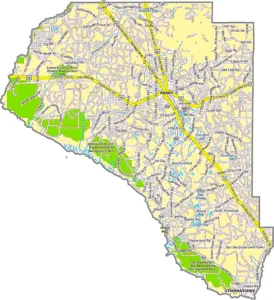
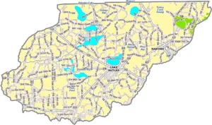
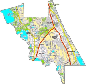
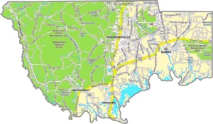
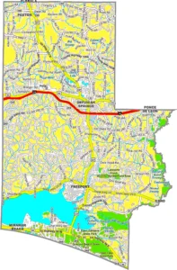
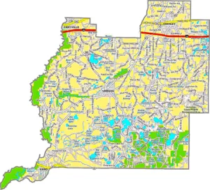
Florida County Map Overview
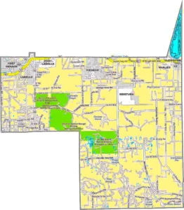
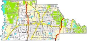
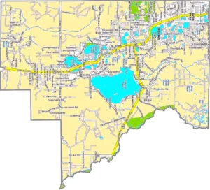
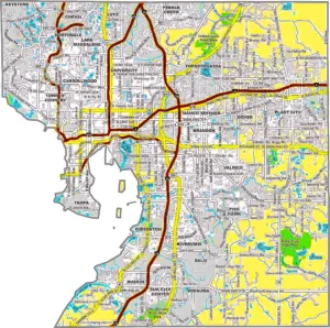
Florida is divided into 67 counties, each with its own local government, unique geography, and historical significance. A Florida County Map helps users identify county boundaries, major cities, highways, rivers, lakes, and coastal regions across the state. Whether you are a traveler, student, researcher, GIS professional, or real estate investor, county maps provide valuable geographic information for navigation, planning, and analysis.Type your paragraph here
Florida stretches from the Atlantic Ocean to the Gulf of Mexico and features diverse landscapes, including beaches, wetlands, forests, lakes, and urban metropolitan areas. Counties such as Miami-Dade, Orange, Hillsborough, and Broward are among the state's most populated, while Liberty, Lafayette, and Union counties have much smaller populations.
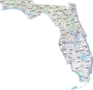
Modern Florida county maps are widely used in Geographic Information Systems (GIS), urban planning, emergency management, environmental studies, and educational projects. They also help residents understand local jurisdictions, school districts, property boundaries, transportation networks, and public services. Whether you need a printable county map or a detailed GIS map, a Florida County Map is an essential resource for exploring the Sunshine State.
Florida at a Glance
Interesting Facts About Florida Counties
Florida County Map FAQ
How many counties are in Florida?
Florida has 67 counties.
What is the largest county in Florida by area?
Palm Beach County is the largest county by total area.
Which county has the largest population?
Miami-Dade County is the most populous county in Florida.
What is a Florida GIS County Map?
A Florida GIS County Map is a digital map that displays county boundaries, roads, cities, parcels, water features, and geographic data for mapping and analysis.
Where can I download Florida county maps?
You can download printable PDF maps or GIS-compatible county maps from government GIS portals, mapping agencies, or educational mapping websites.
Why are county maps important?
County maps help with navigation, land planning, emergency management, education, real estate, property research, and geographic analysis.
Which county contains Orlando?
Orlando is located primarily in Orange County.
Which county contains Miami?
Miami is located in Miami-Dade County.
Are Florida county boundaries available in GIS format?
Yes. Florida county boundaries are available in GIS formats such as Shapefile (SHP), GeoJSON, KML, and other mapping data formats.
Can I use Florida county maps for educational or research purposes?
Yes. County maps are commonly used in schools, universities, GIS projects, demographic studies, and geographic research.
Conclusion
A Florida County Map is an essential resource for understanding the state's geography, administrative boundaries, and regional characteristics. With 67 counties, Florida offers a diverse landscape that ranges from bustling metropolitan areas and world-famous beaches to wetlands, forests, and agricultural regions. Whether you need a printable county map, a GIS map for professional analysis, or a reference for travel and education, Florida county maps provide accurate geographic information to support a wide range of applications. They are valuable tools for students, researchers, planners, businesses, government agencies, and anyone interested in exploring the Sunshine State.