
Explore the Hawaii County Map and view all 5 counties at a glance. Find county names, boundaries, major cities, county seats, population data, and detailed geographic information for Hawaii.Type your paragraph here
All Hawaii Counties: Names, Map & County Information
Explore all 5 counties in Florida with a detailed county list, map, county seats, and key information. Find every Hawaii county in one place here.
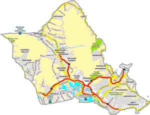
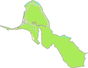
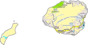
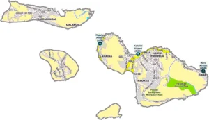
Hawaii County Map Overview
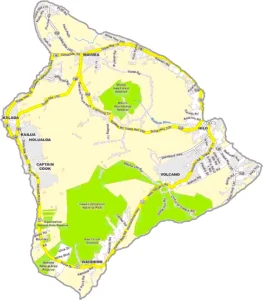
The Hawaii County Map provides a clear geographic view of Hawaii’s county-level divisions and helps users understand how the state is organized administratively. Hawaii is unique among U.S. states because its counties cover entire islands or groups of islands rather than being arranged across a continuous mainland area.Type your paragraph here
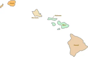
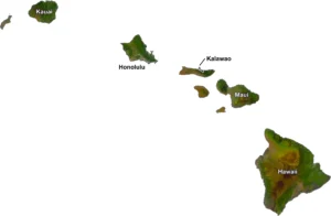
Hawaii has 5 counties, including the City and County of Honolulu, which covers Oahu. The other counties are Hawaii County, Maui County, Kauai County, and Kalawao County. Each county has its own geographic characteristics, communities, landmarks, and natural environments.Type your paragraph here
A Hawaii county map is useful for students, researchers, travelers, GIS professionals, real-estate research, educators, and anyone interested in Hawaii geography. Maps can show county boundaries, major cities, islands, roads, coastlines, and other geographic features.
Hawaii at a Glance
Hawaii's 5 Counties
Interesting Facts About Hawaii Counties
Hawaii County Map FAQ
How many counties are in Hawaii?
Hawaii has 5 counties: Hawaii County, Honolulu County, Maui County, Kauai County, and Kalawao County.
What is the largest county in Hawaii?
Hawaii County is the largest county in Hawaii by land area.
What county is Honolulu in?
Honolulu is located in Honolulu County, officially known as the City and County of Honolulu.
What is the smallest county in Hawaii?
Kalawao County is the smallest county in Hawaii by land area and population.
Which county includes Maui?
Maui County includes the island of Maui as well as Molokai, Lanai, and Kahoolawe.
Which county includes Kauai?
Kauai County includes the island of Kauai and the privately owned island of Niihau.
Why is Hawaii County called the Big Island?
Hawaii County covers Hawaii Island, which is commonly known as the Big Island to distinguish it from the state of Hawaii.
Are Hawaii counties different from mainland U.S. counties?
Yes. Hawaii's counties are geographically unique because they are located across islands and island groups rather than forming part of a continuous mainland landmass.
Conclusion
The Hawaii County Map is an excellent resource for understanding the state's unique geographic and administrative structure. With only five counties, Hawaii has one of the simplest county systems in the United States, yet each county contains diverse landscapes, communities, and islands. From the volcanic landscapes of Hawaii County to the urban center of Honolulu County and the remote Kalawao County, Hawaii's counties offer a fascinating combination of geography, history, and culture.