
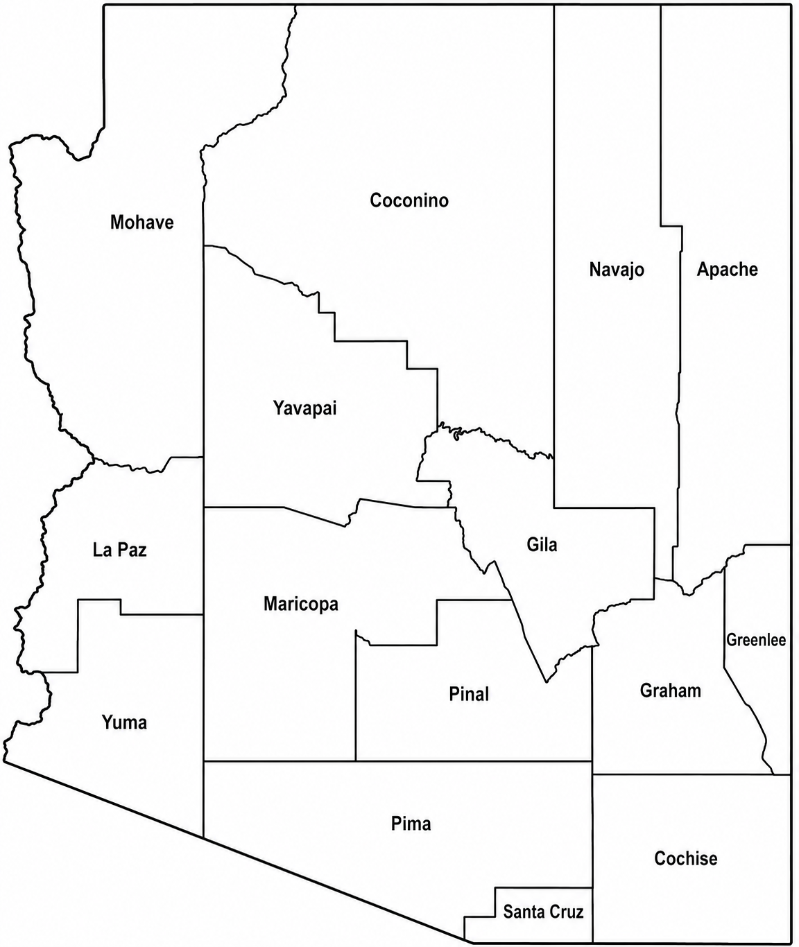
Explore the Arizona County Map with all 15 counties, county seats, major cities, roads, and geographic details. Learn about Arizona counties with maps, facts, and useful information.


Arizona Counties at a Glance
Arizona consists of 15 counties spread across approximately 113,990 square miles, making it one of the largest states in the United States by area.

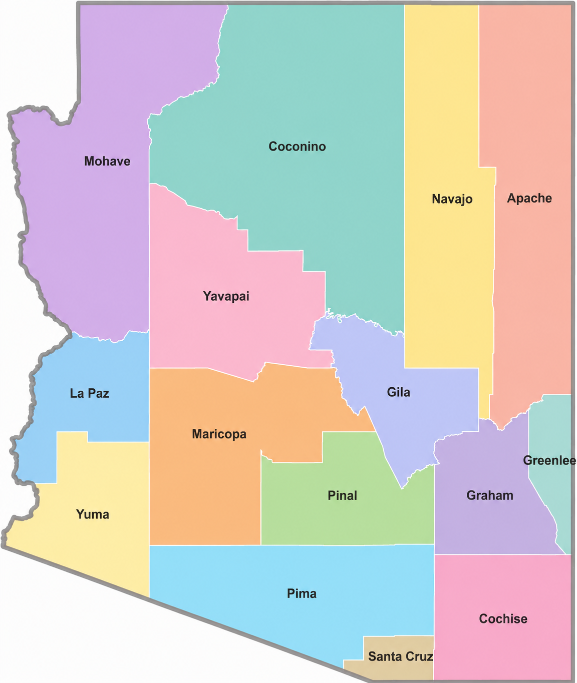
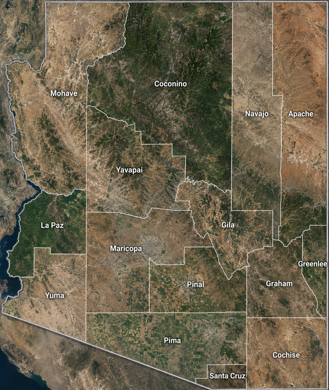
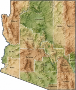
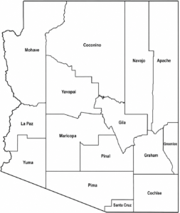
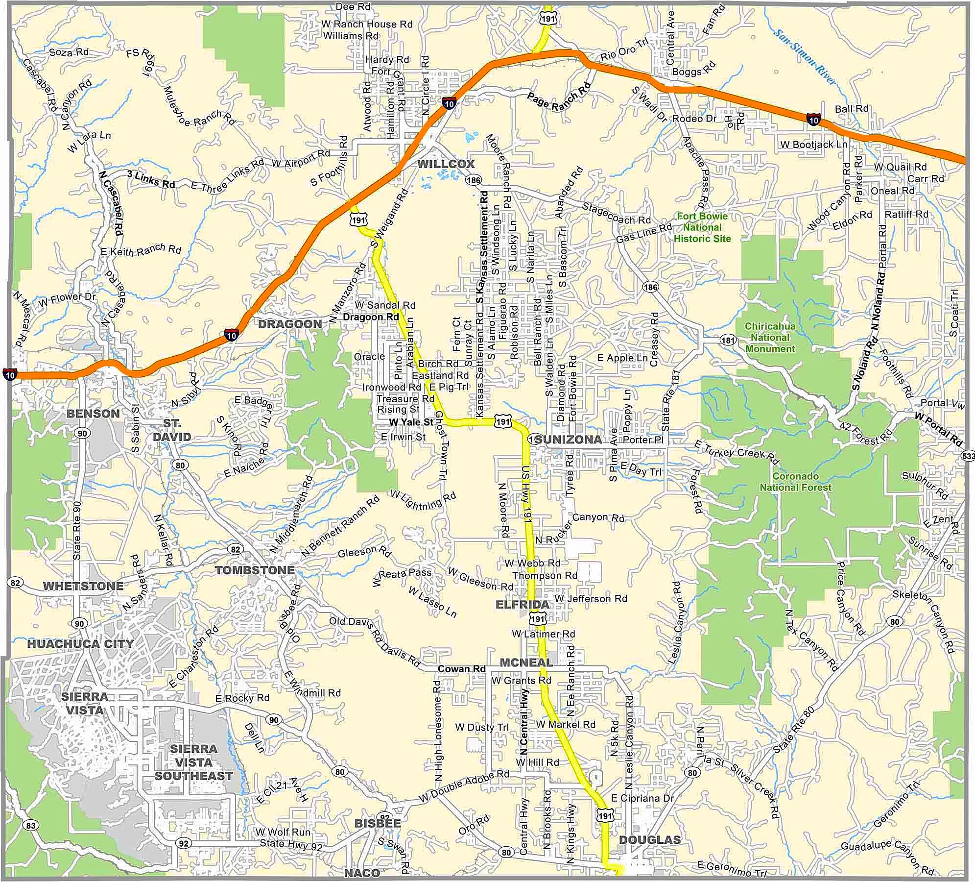
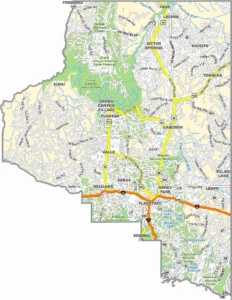
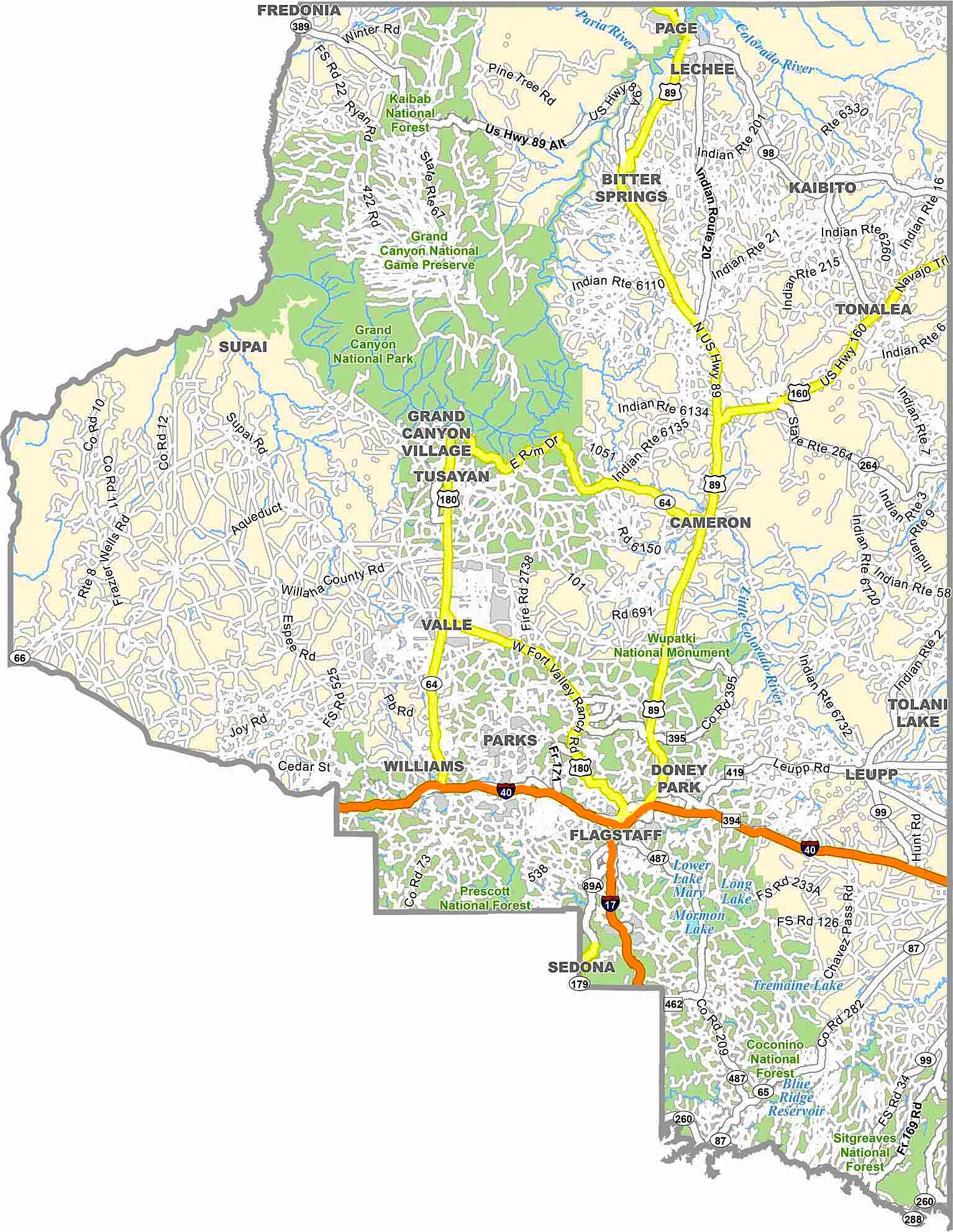
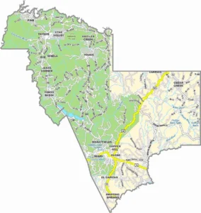
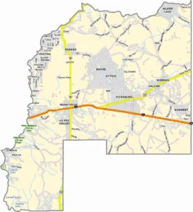
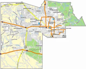
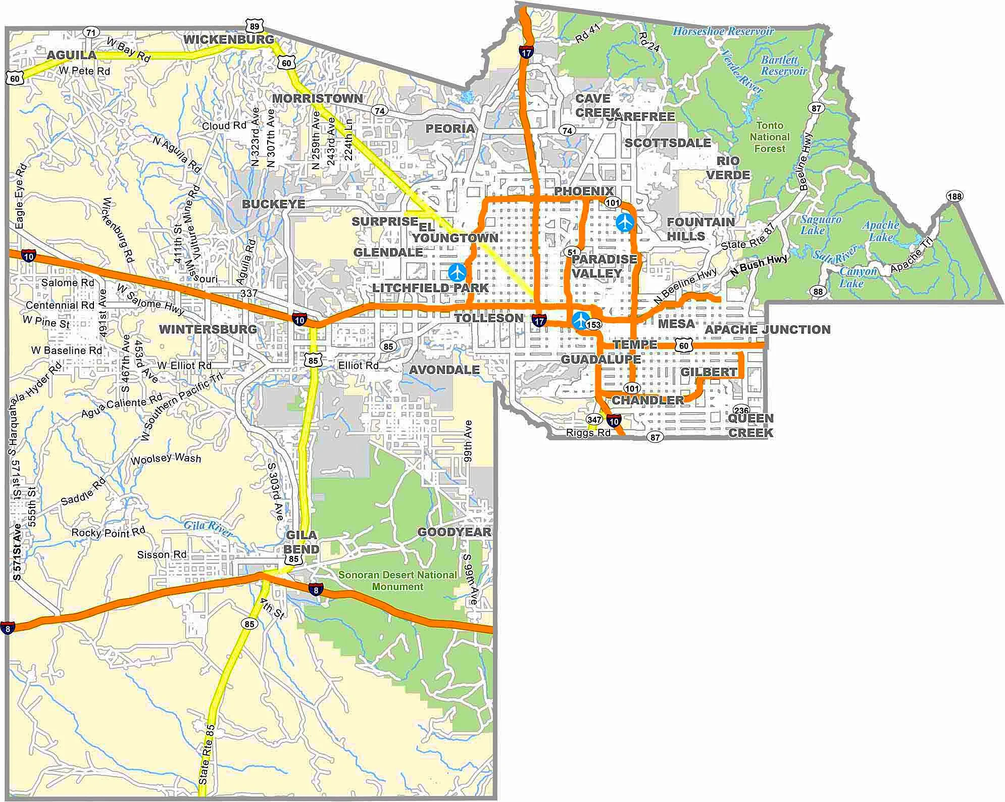
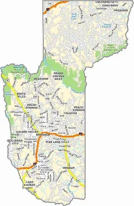
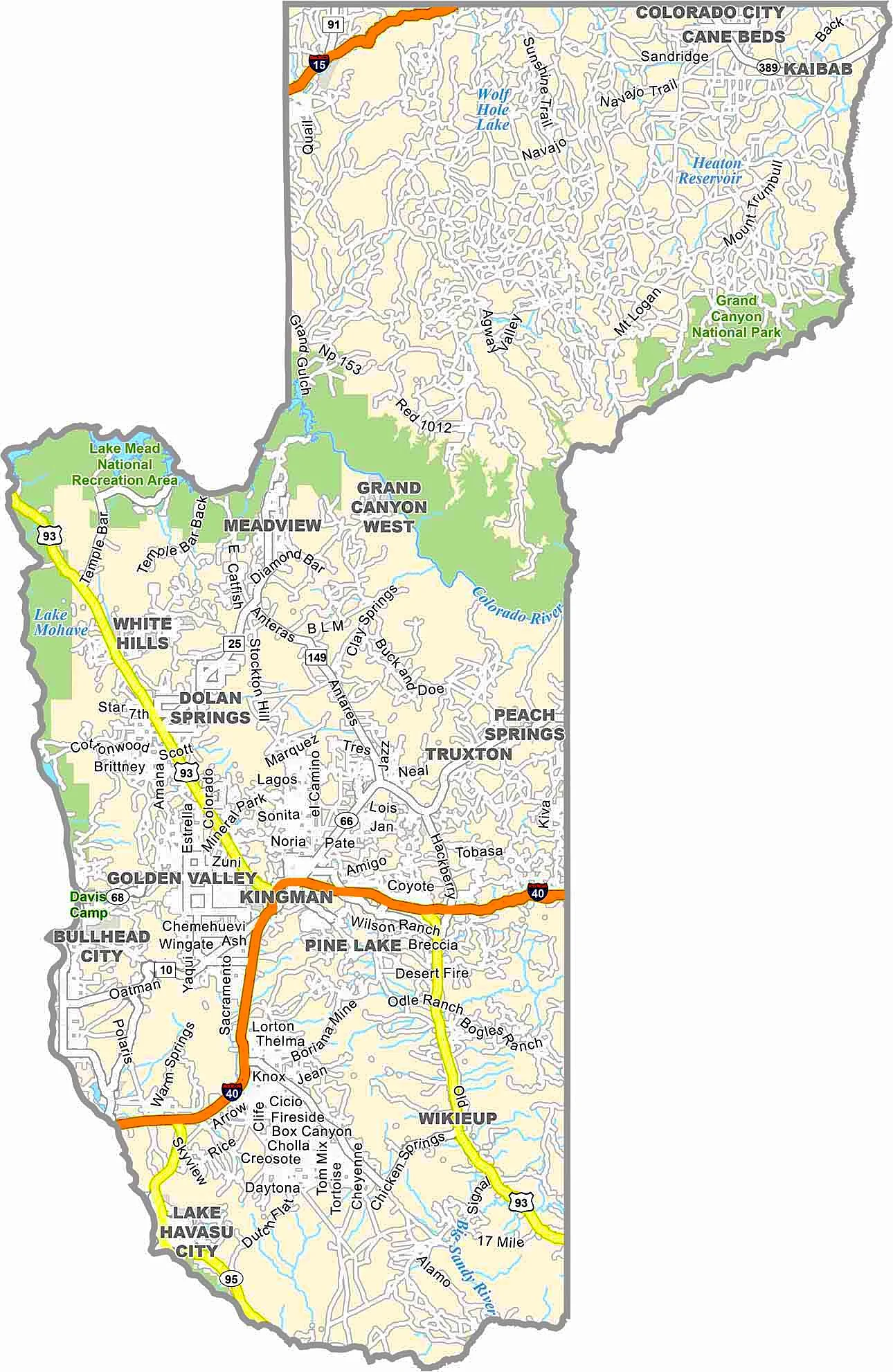
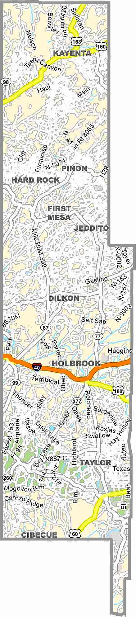
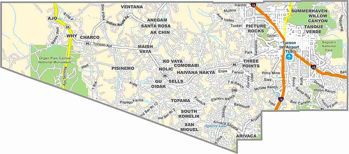
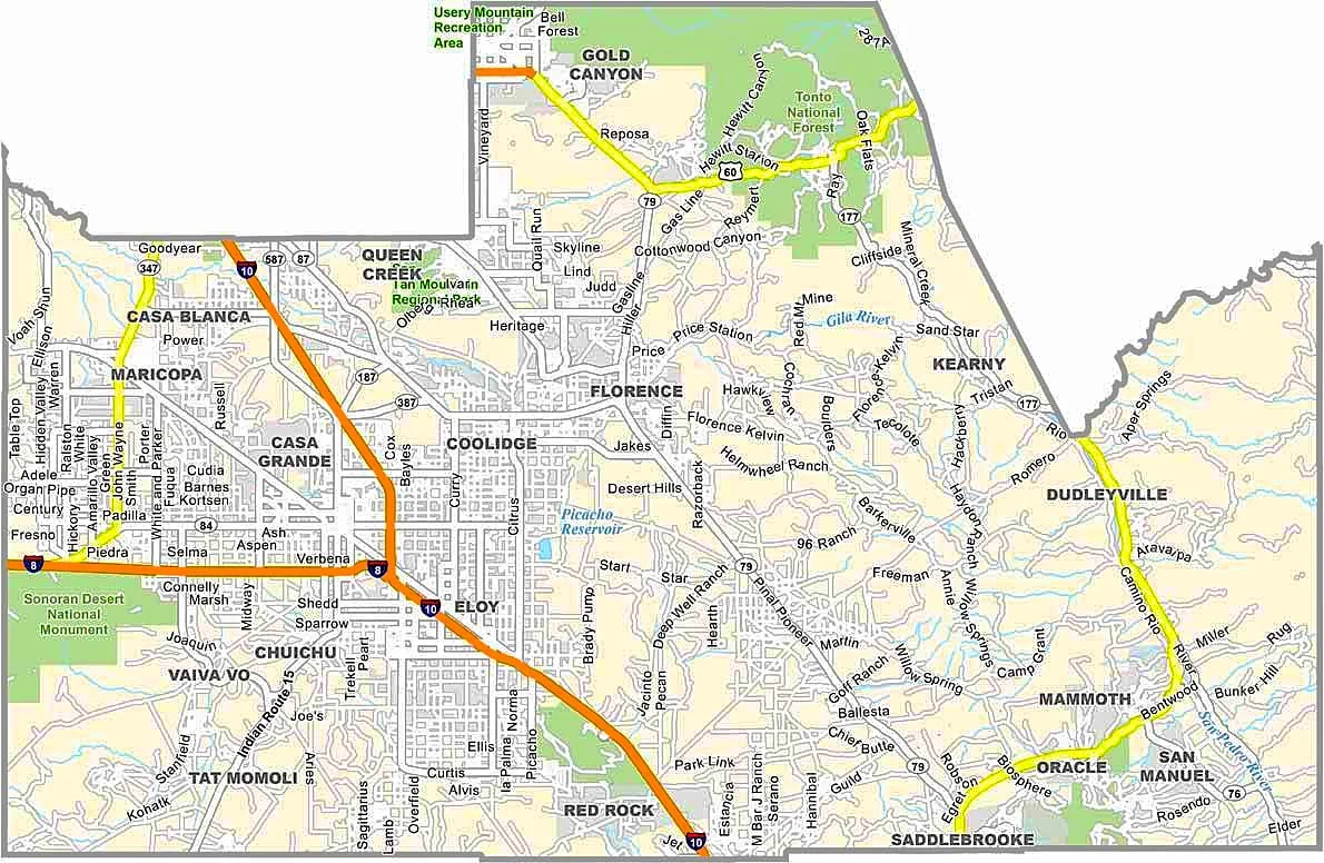
Arizona County Map
An Arizona County Map is one of the easiest ways to understand the geography and administrative divisions of Arizona. Whether you are planning a trip, researching local government boundaries, studying demographics, or simply exploring the state, a county map provides a clear overview of Arizona's 15 counties.Arizona is known for its stunning deserts, the world-famous Grand Canyon, diverse landscapes, and rapidly growing cities. Each county has its own unique history, economy, and attractions. By using an Arizona county map, residents, travelers, students, and researchers can quickly locate county boundaries, county seats, major highways, and important landmarks.
Largest and Smallest Counties in Arizona
Largest County by Area
Coconino County is the largest county in Arizona, covering more than 18,600 square miles. It includes much of the Grand Canyon region and vast forested landscapes.
Smallest County by Area
Santa Cruz County is the smallest county in Arizona by land area.
Most Populous County
Maricopa County is Arizona's most populous county and home to the state capital, Phoenix.
Least Populous County
Greenlee County has the smallest population among Arizona counties.
Geographic Regions of Arizona
Arizona can generally be divided into several geographic regions:
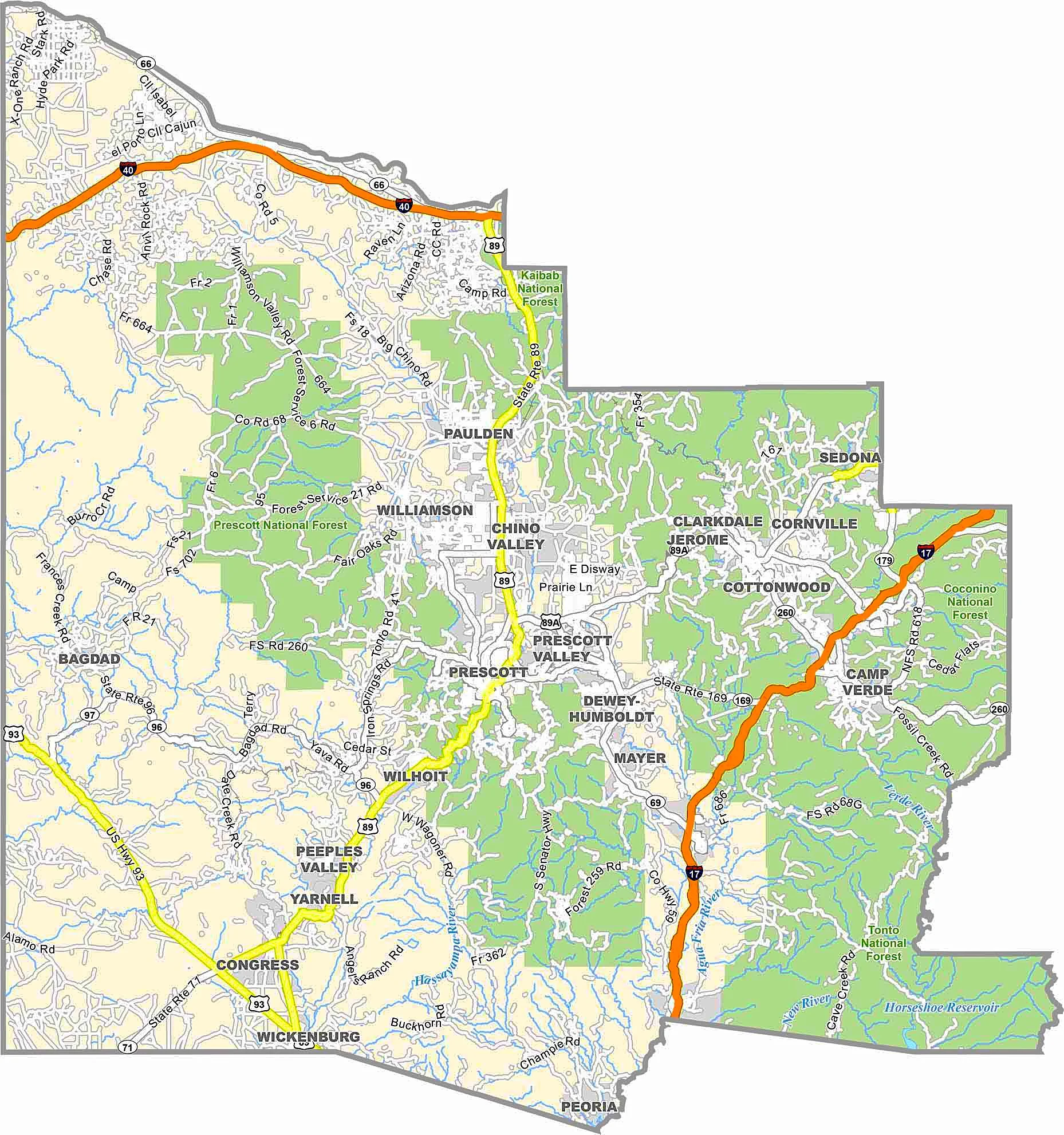
Northern Arizona
Home to the Grand Canyon, forests, mountains, and cooler climates.
Central Arizona
Contains the Phoenix metropolitan area and much of the state's population.
Southern Arizona
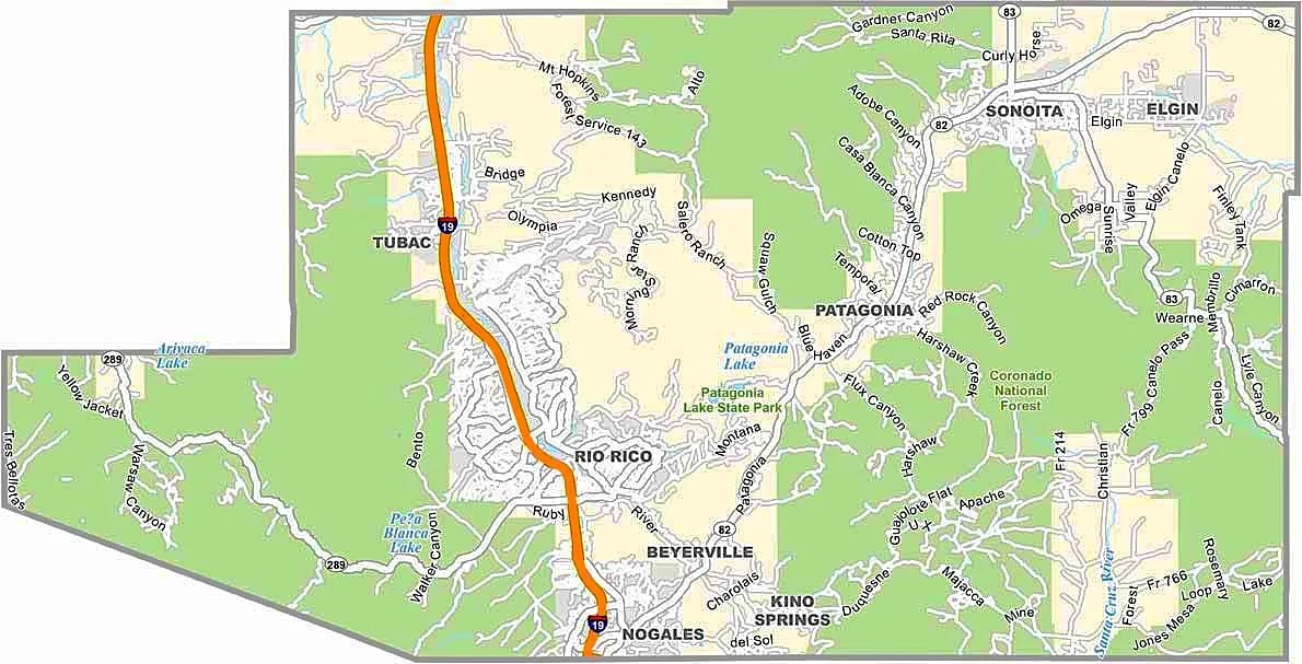
Known for desert landscapes, border communities, and the city of Tucson.
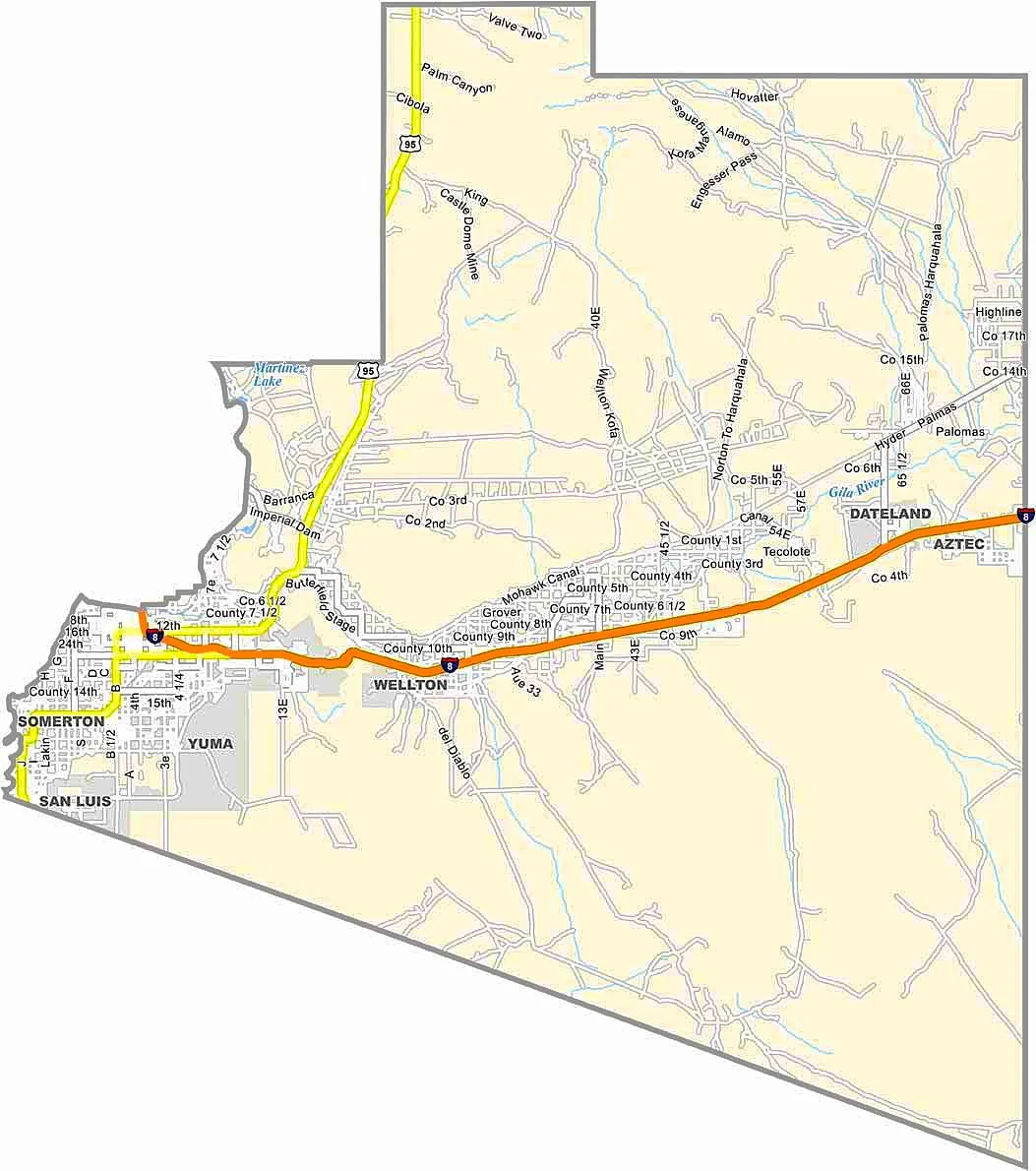
Western Arizona
Features the Colorado River and numerous recreational opportunities.
Historical Background of Arizona Counties
Frequently Asked Questions
How many counties are in Arizona?
Arizona has 15 counties.
What is the largest county in Arizona?
Coconino County is the largest county by area
What is the most populous county in Arizona?
Maricopa County is the most populous county.
Which county contains Phoenix?
Phoenix is located in Maricopa County.
Why is an Arizona County Map useful?
It helps users locate counties, cities, roads, county seats, and geographic regions.
Conclusion
An Arizona County Map is an essential resource for anyone interested in Arizona's geography, transportation network, counties, and major cities. From the bustling metropolitan areas of Phoenix and Tucson to the natural beauty of the Grand Canyon region, Arizona's counties offer diverse landscapes and opportunities for exploration.Whether you're planning a road trip, conducting research, studying geography, or simply learning more about the state, an Arizona County Map provides a clear and informative overview of Arizona's 15 counties.