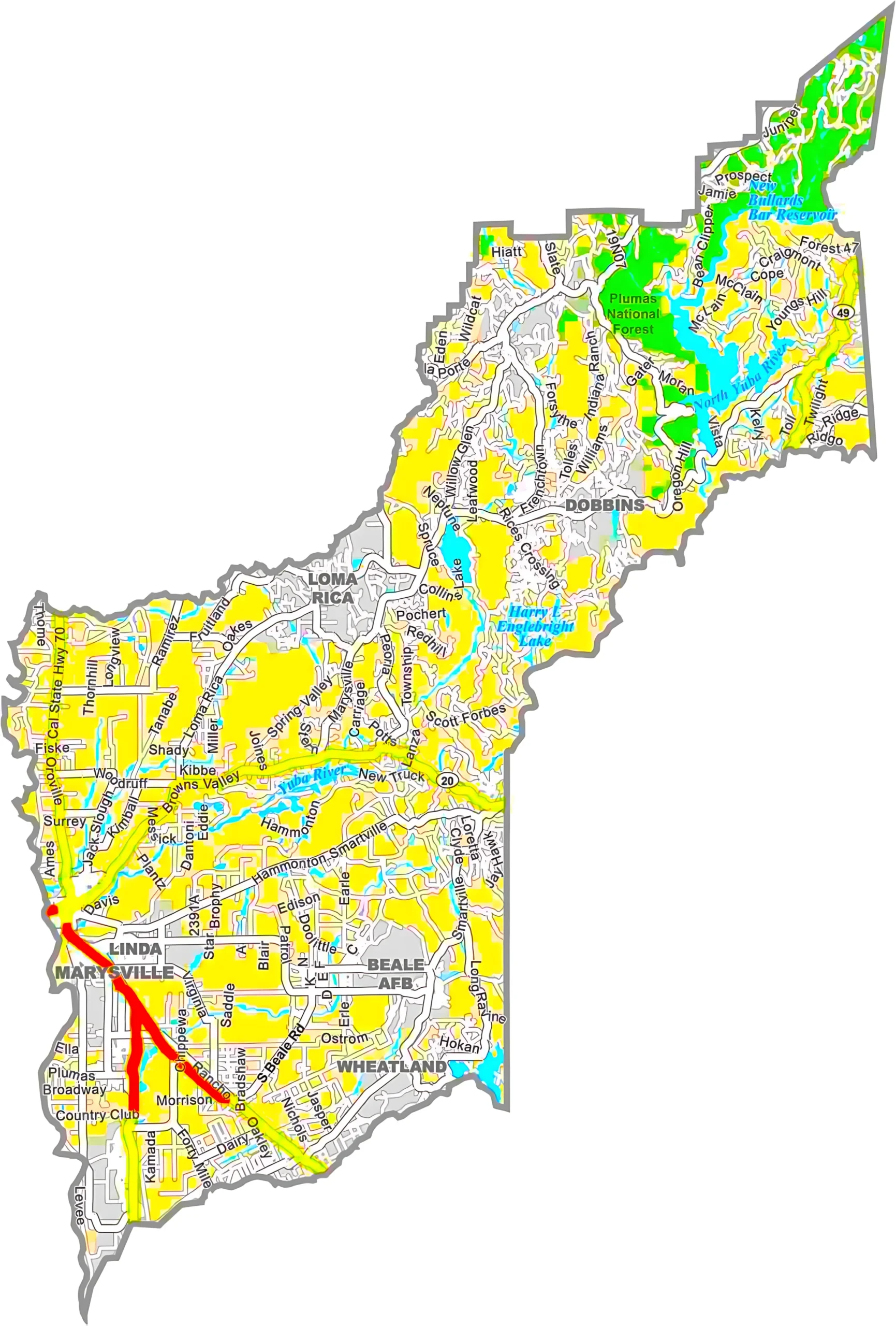
California County Map

California is one of the most diverse states in America, and a California County Map helps people understand the geography, culture, economy, and travel opportunities found throughout the Golden State. Whether you are a student, traveler, business owner, or researcher, county maps offer a simple way to explore California’s regional differences.
California has 58 counties, each with its own government, landmarks, population, and unique character. From the busy streets of Los Angeles to the peaceful forests of Humboldt County, every county contributes something special to the state.
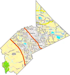

California Cities and Road Map

California Cities and Road Map

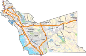
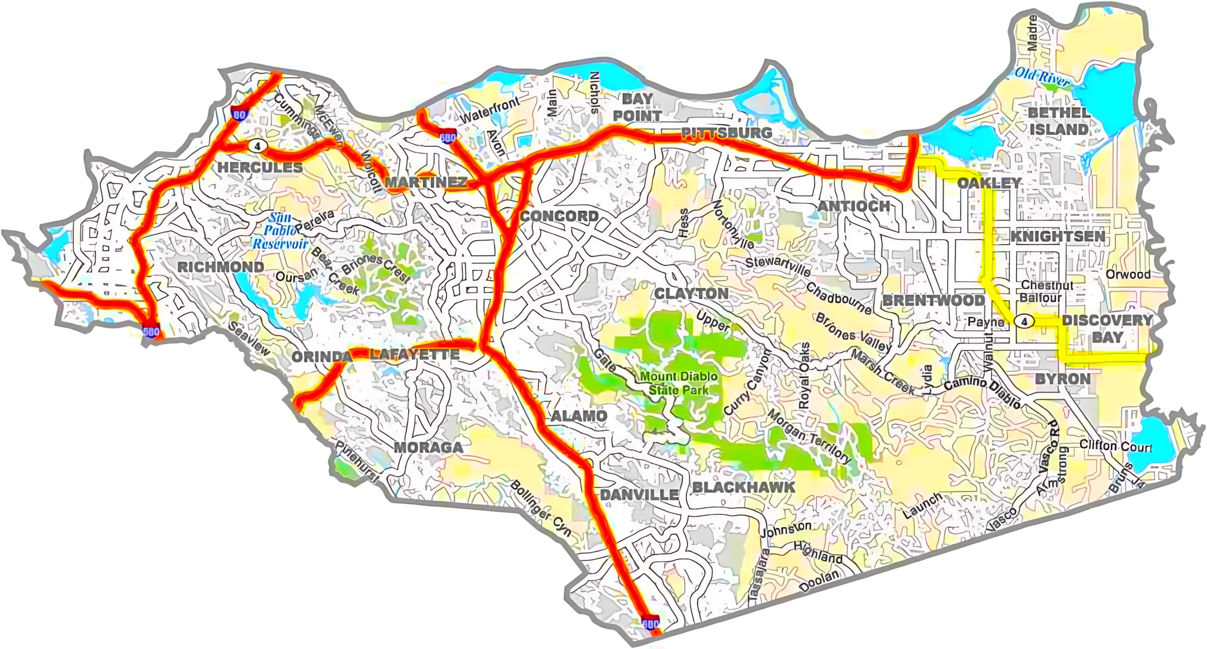
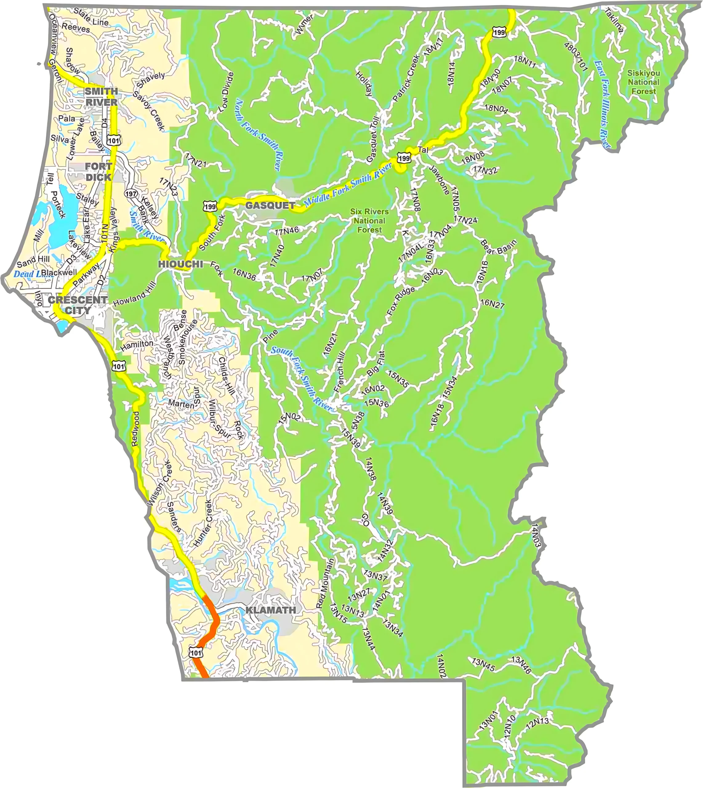
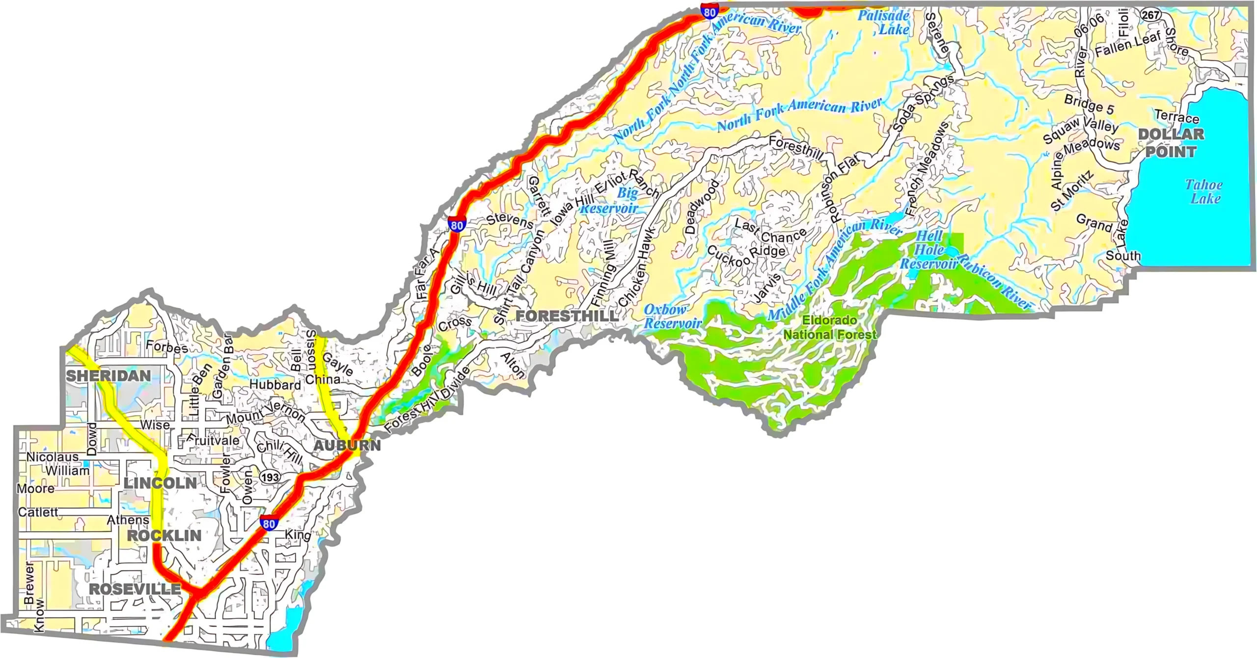
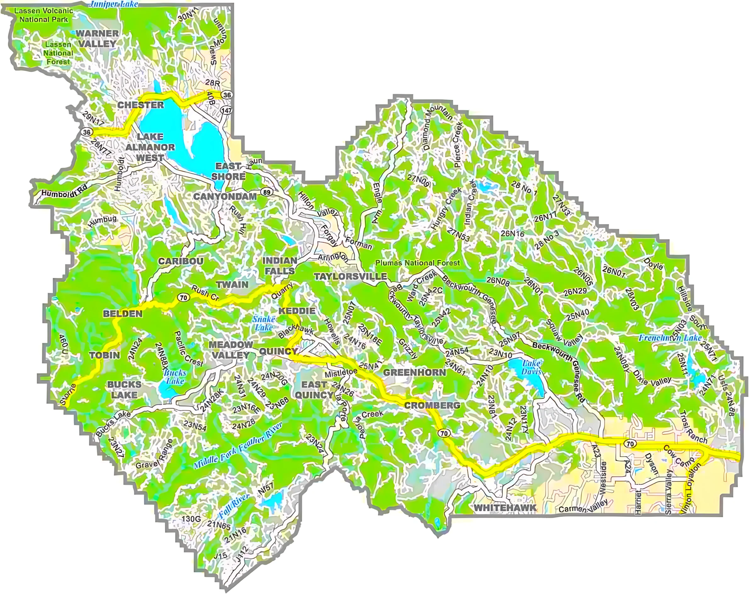
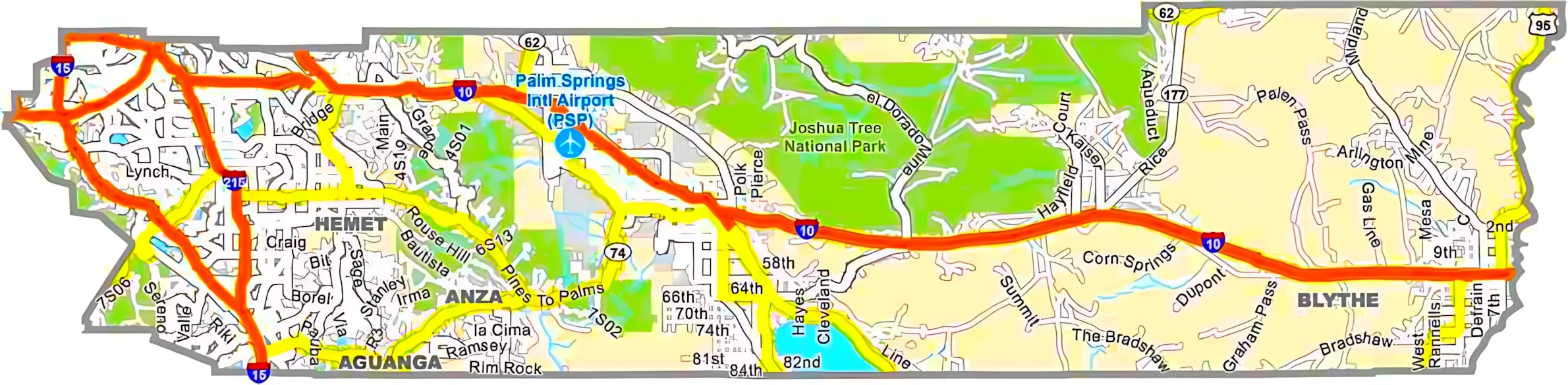
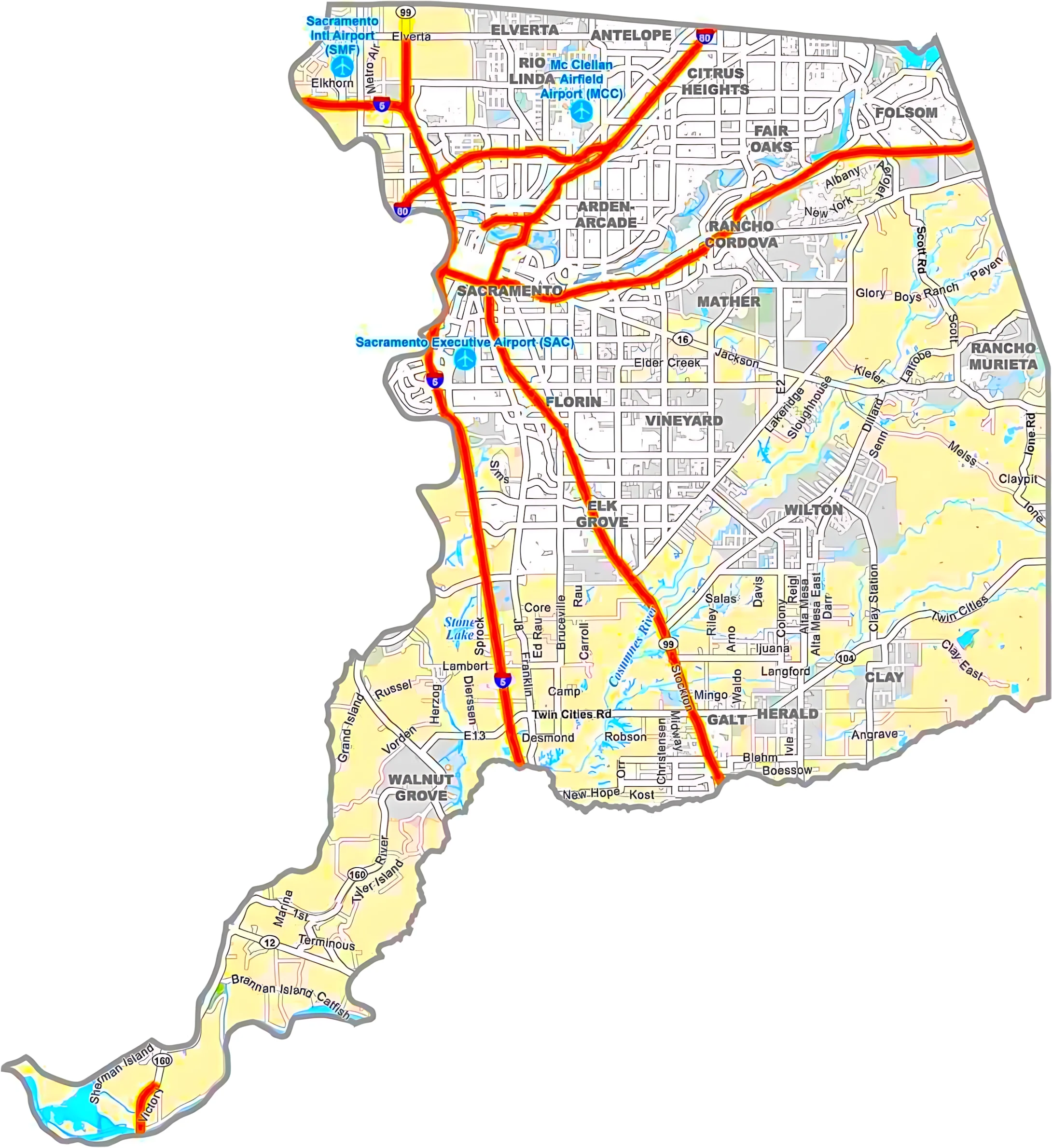
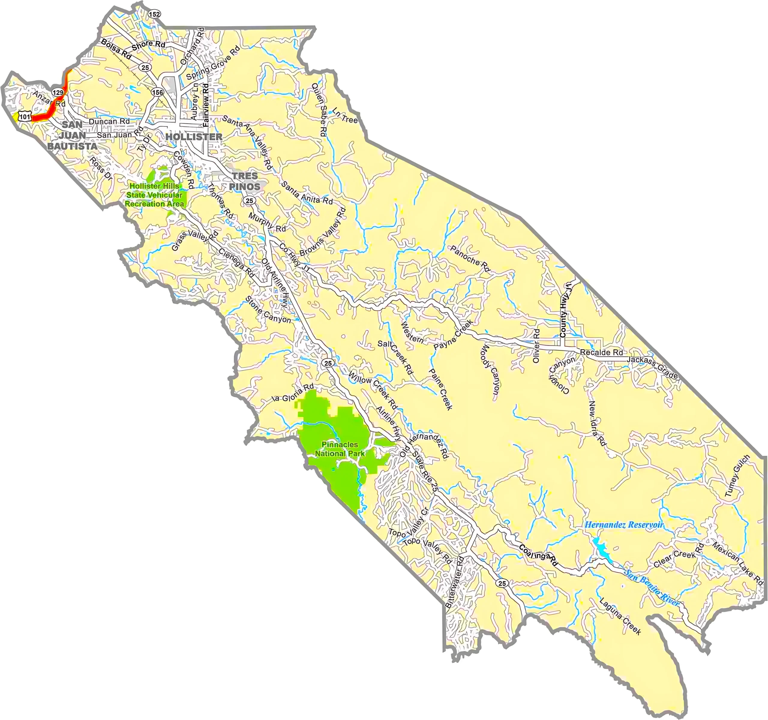
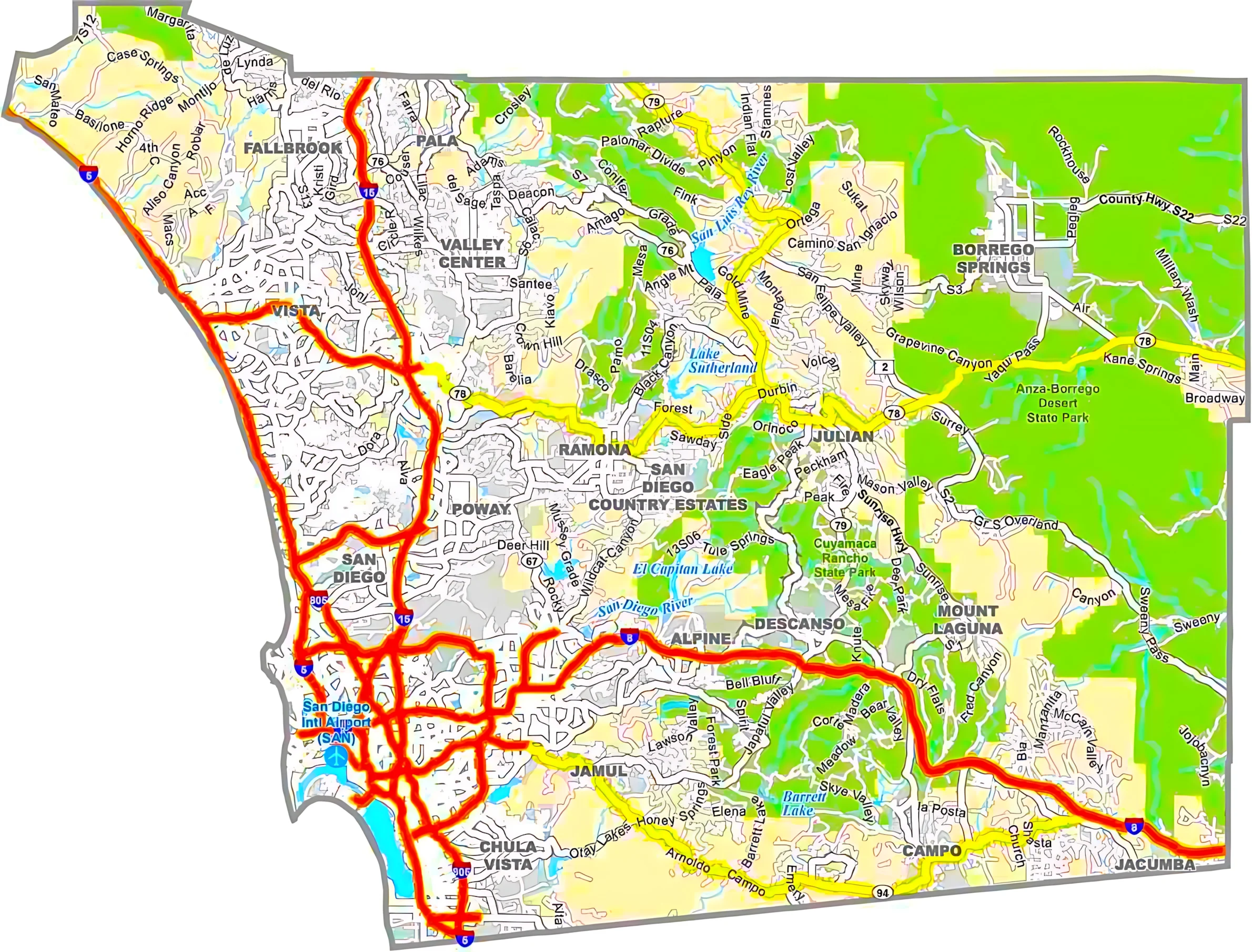
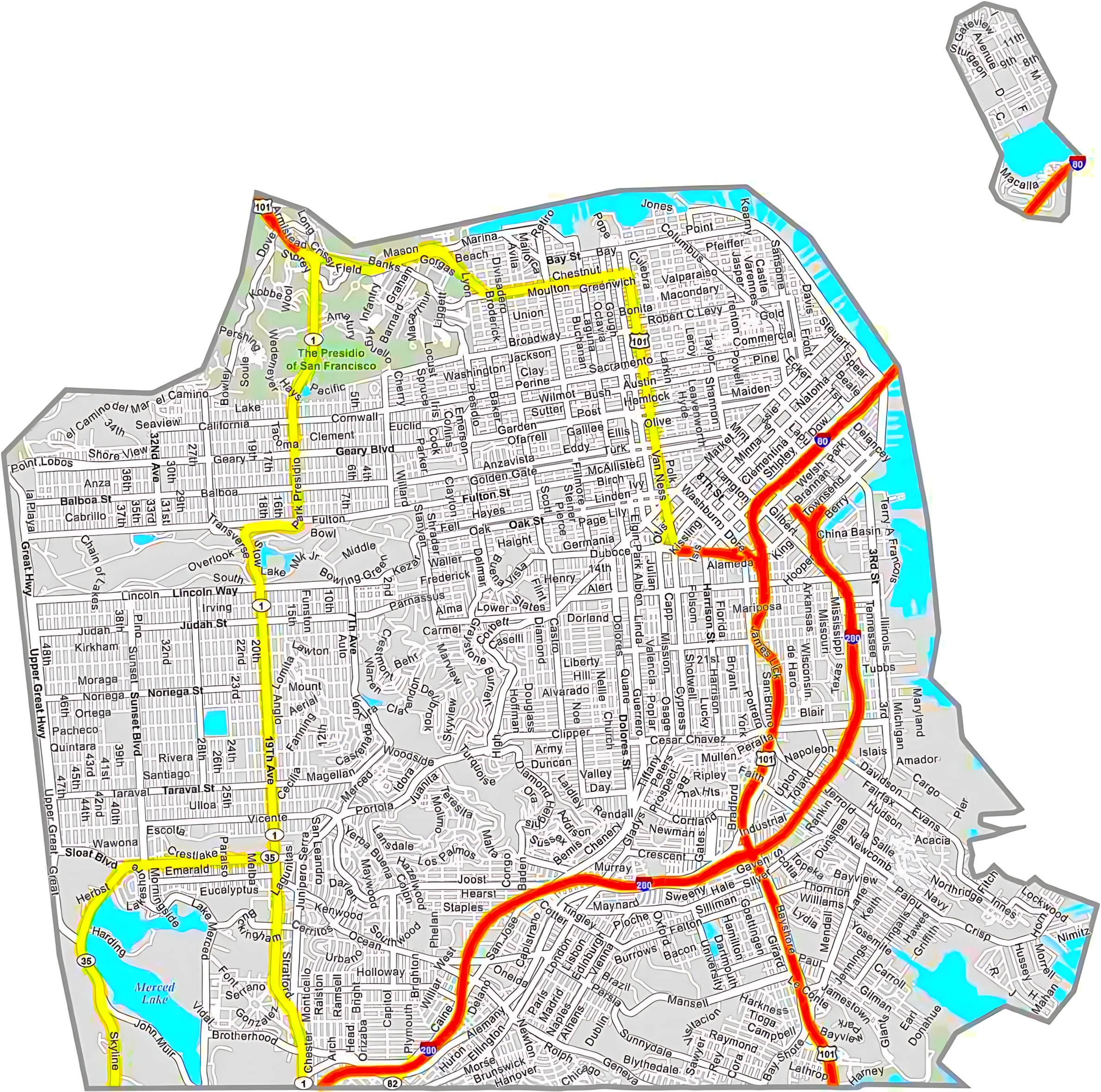
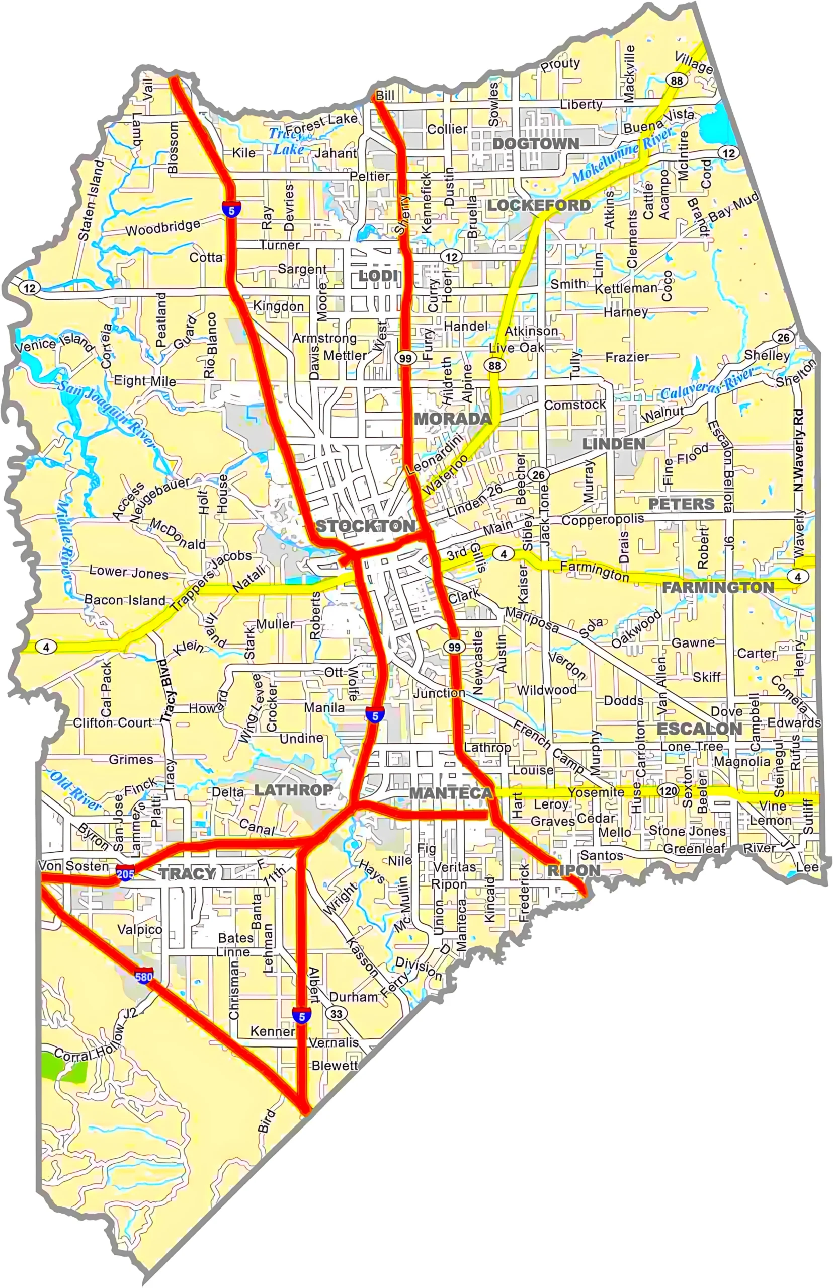
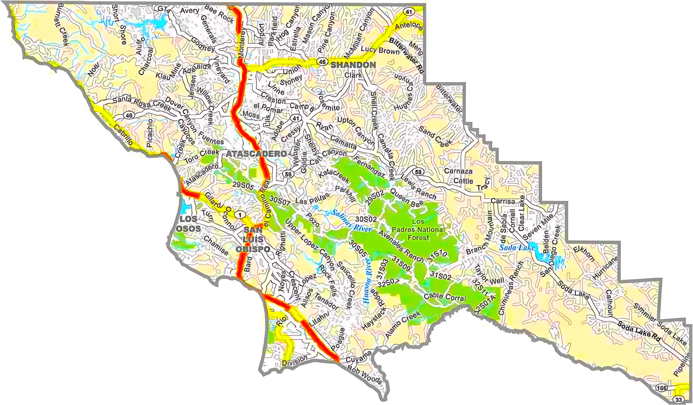
California County Map : The California Cities and Road Map shows major cities, highways, and transportation routes across California in a clear and organized layout. It includes important cities like Los Angeles, San Francisco, San Diego, Sacramento, and San Jose, along with interstate highways such as I-5, I-10, and I-80. This map is helpful for travelers, tourists, students, and drivers who want to understand California’s road network and city connections. It also highlights coastal roads, inland routes, and regional areas for easy navigation. Whether planning a road trip, studying geography, or exploring the state, this California road map provides valuable information for safe and convenient travel throughout the Golden State.

California Lakes, Rivers and Water Resources Map

The California Lakes, Rivers, and Water Resources map highlights the major rivers, lakes, reservoirs, and water systems across the state of California. It shows important water bodies such as Lake Tahoe, Clear Lake, Salton Sea, and major rivers including the Sacramento River, San Joaquin River, Colorado River, and Klamath River. This map helps users understand California’s water distribution, irrigation systems, and natural waterways. It is useful for students, researchers, travelers, and geography enthusiasts interested in the state’s environmental and water resources. The map also supports educational purposes, water management studies, and outdoor planning by clearly displaying California’s important lakes, rivers, and regional water networks.


California Topographic Map

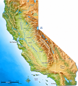
The California county Map Topographic shows the physical landscape, elevation, mountains, valleys, deserts, rivers, and natural terrain features across California. It highlights major geographic regions such as the Sierra Nevada, Central Valley, Mojave Desert, and coastal mountain ranges. This map is useful for travelers, students, hikers, researchers, and geography enthusiasts who want to understand California’s natural landforms and elevation patterns. It also helps in outdoor planning, environmental studies, and educational projects by providing a detailed view of the state’s terrain and topography.


California County Map – Satellite

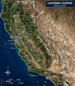
The Satellite view of California County Map provides a realistic satellite view of California with clearly marked county boundaries and labels. It highlights the state’s natural landscapes, mountains, deserts, forests, valleys, and coastal regions in high detail. Major counties, geographic regions, and terrain patterns are easy to identify, making the map useful for education, travel planning, research, and geographic analysis. This map helps users better understand California’s physical environment and county divisions through an attractive satellite-style presentation.


California Simple County Map

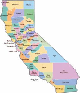
The Simple California County Map provides a clean and easy-to-read outline of California’s counties and boundaries. It displays county names, borders, and locations in a minimal black-and-white design, making it perfect for educational use, presentations, geography studies, and printable resources. This map helps users quickly identify California counties without extra geographic details, offering a simple and organized view of the state’s county divisions.


California Counties

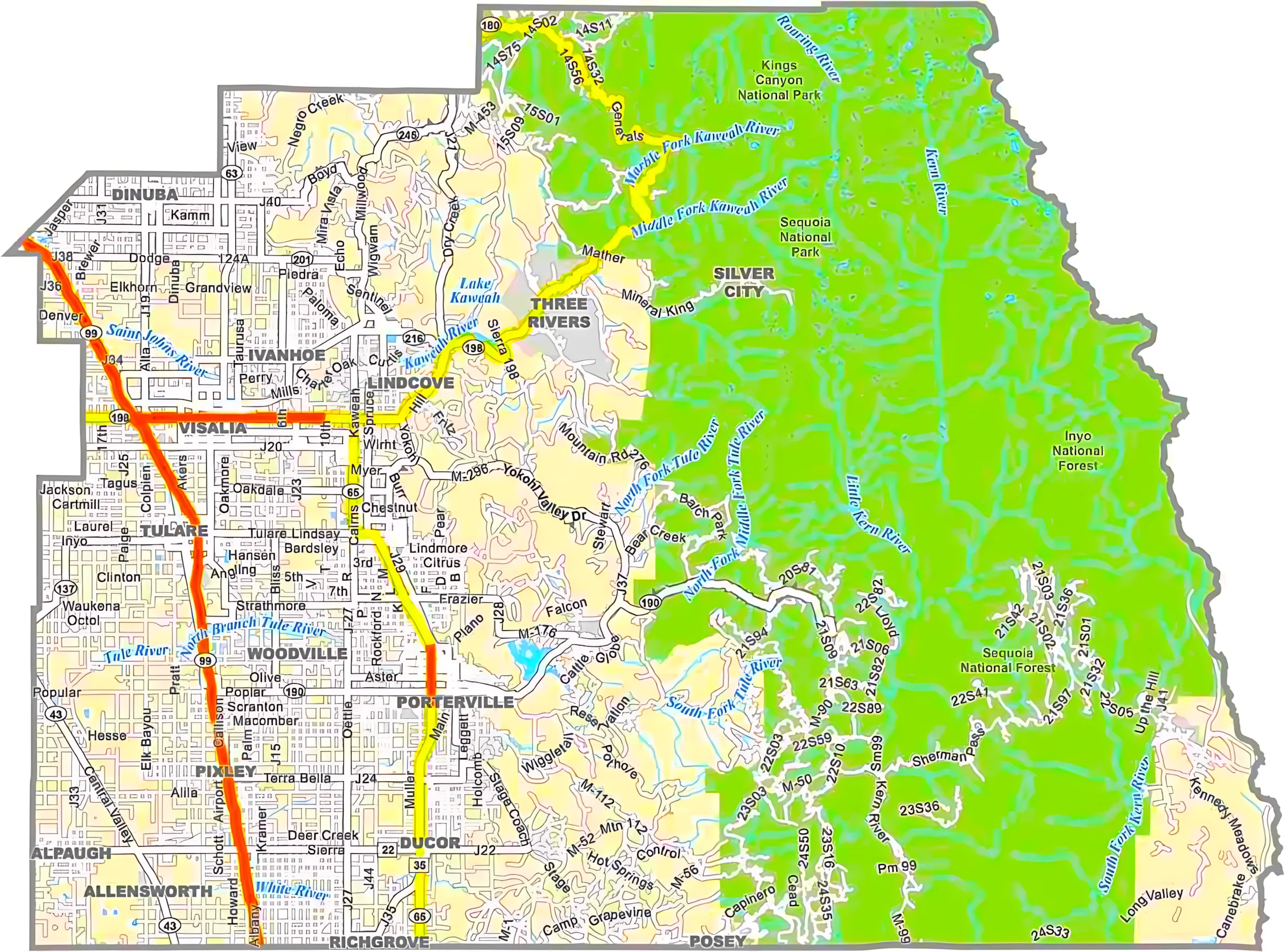
California is home to some of the most diverse and fascinating counties in the United States. In terms of population, Los Angeles County stands far above the rest. With millions of residents, it includes famous places like Hollywood, downtown Los Angeles, and beautiful coastal communities. In contrast, Alpine County, located in the Sierra Nevada mountains, is California’s least populated county, known for its peaceful wilderness and natural beauty.

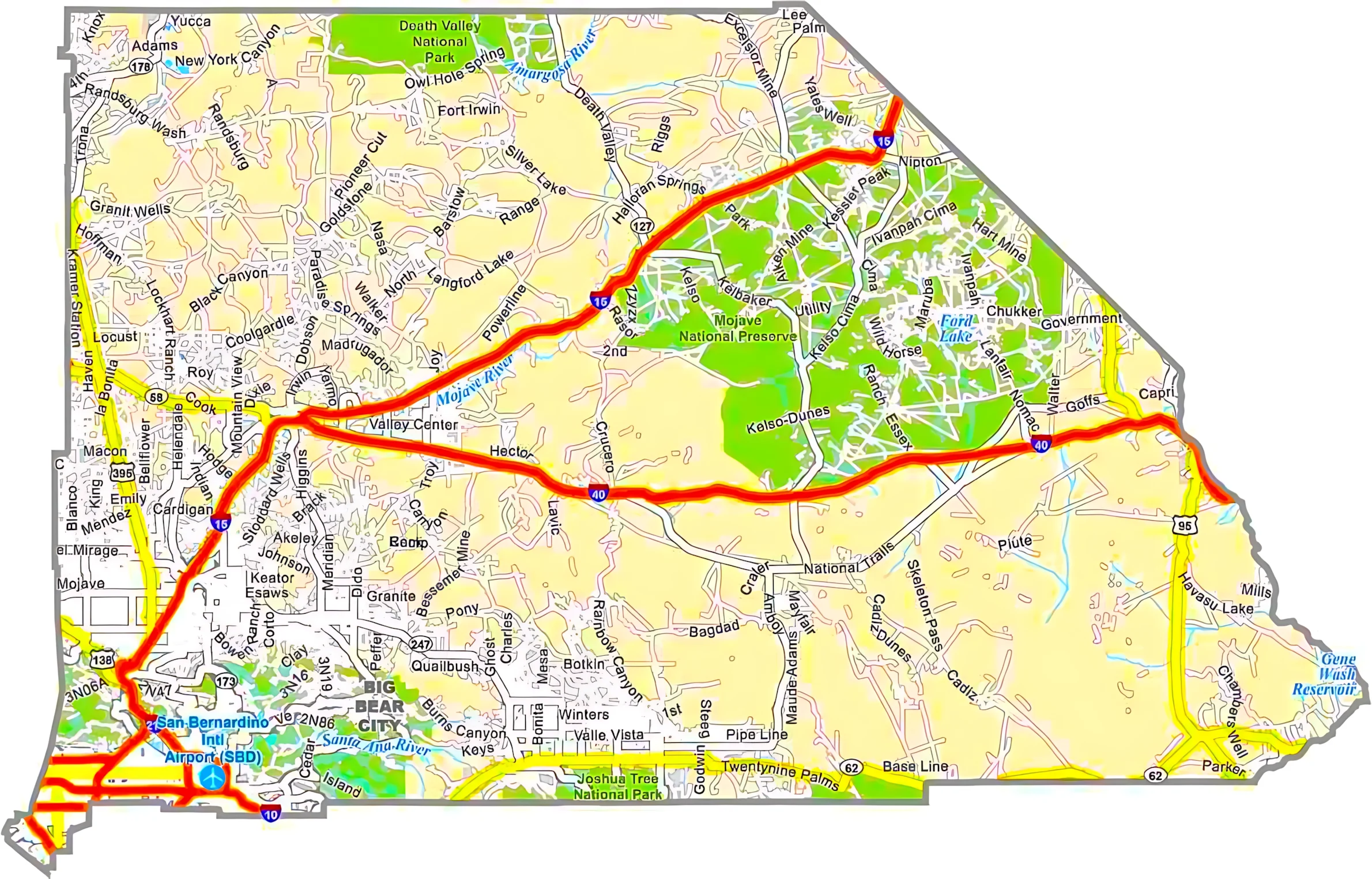
When it comes to size, San Bernardino County is the largest county in California by area. It stretches across deserts, mountains, and parts of Death Valley, the lowest point in North America. Meanwhile, San Francisco County is the smallest county in the state, yet it remains one of the most iconic places in the world with landmarks like the Golden Gate Bridge and Alcatraz Island.

California county names reflect a rich mix of Native American heritage, Spanish influence, geography, and history. For example, Yolo County has Native American origins, San Diego County was named after a Spanish saint, and Sutter County honors pioneer John Sutter. Many counties also have unique identities. Napa County is famous for vineyards and wine production, Humboldt County is known for towering redwood forests, and Lake County gets its name from Clear Lake. San Diego County, established in 1850, is one of California’s original counties formed when California became a state.

California County Map List

FIPS CodeCounty NameLand %Water %Total Area (sq mi)
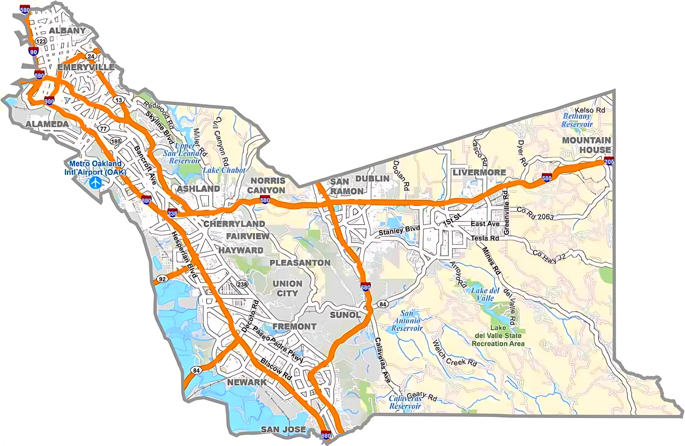
06-001Alameda County89.810.2821.1
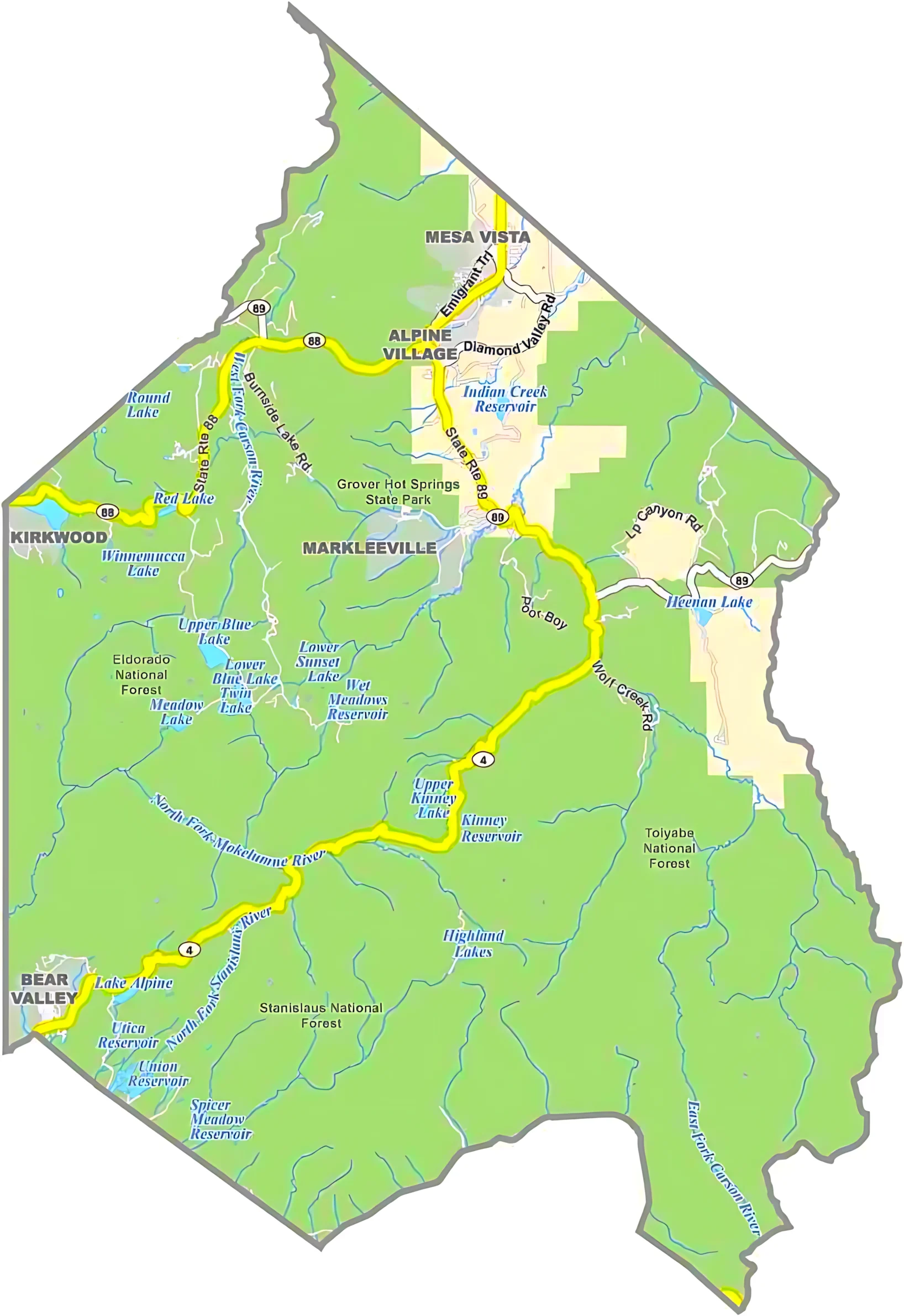
06-003Alpine County99.30.7743.2
06-005Amador County98.11.9605.9
06-007Butte County97.62.41,677.1
06-009Calaveras County98.41.61,036.9
06-011Colusa County99.50.51,156.3
06-013Contra Costa County89.210.8804.1
06-015Del Norte County81.818.21,229.7
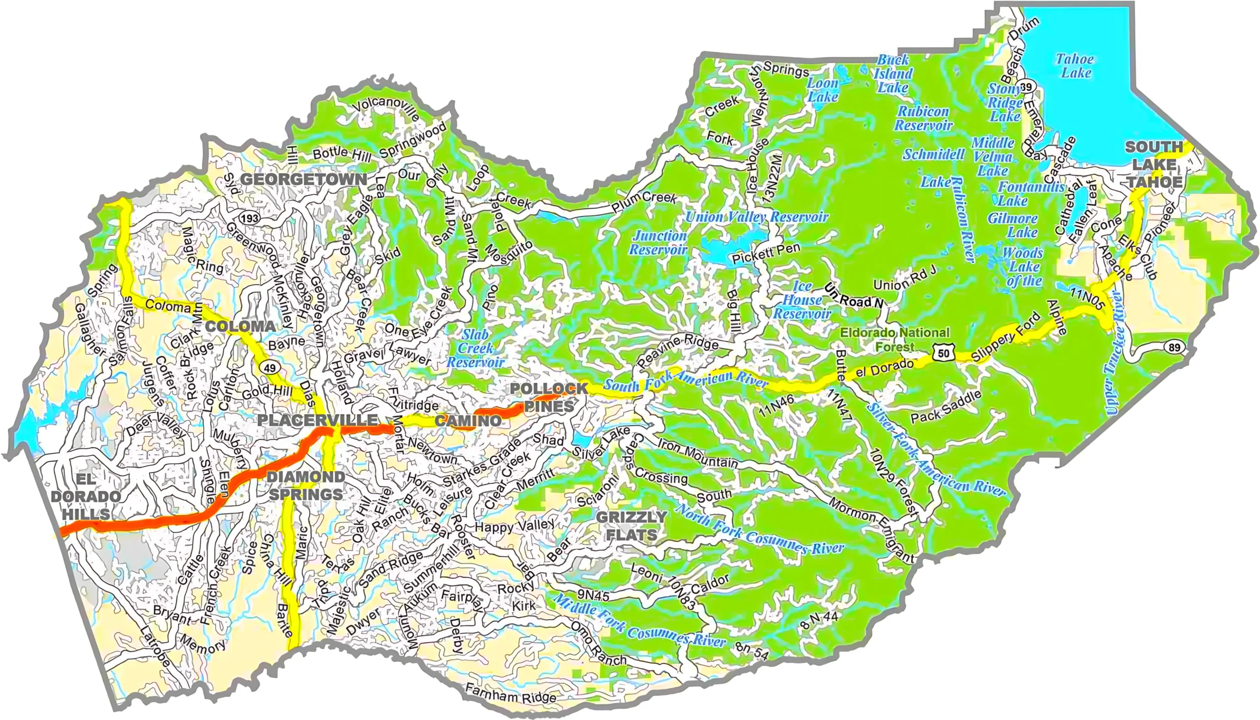
06-017El Dorado County95.64.41,786.3
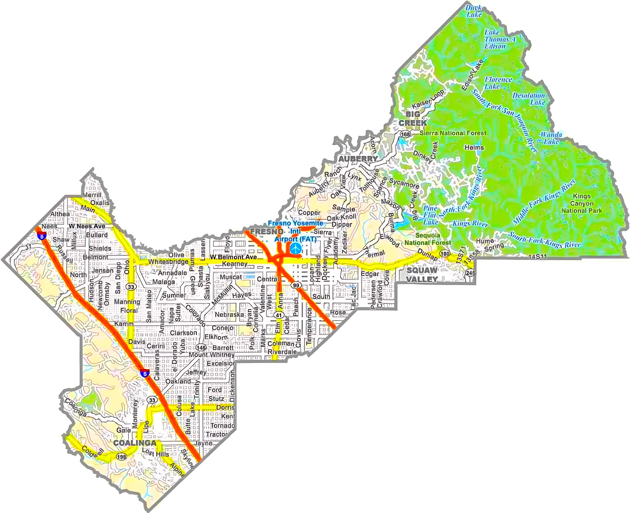
06-019Fresno County99.10.96,011.1
06-021Glenn County99.01.01,327.0
06-023Humboldt County88.111.94,052.2
06-025Imperial County93.26.84,481.7
06-027Inyo County99.60.410,226.9
06-029Kern County99.60.48,162.6
06-031Kings County99.90.11,391.5
06-033Lake County94.55.51,329.4
06-035Lassen County96.23.84,720.1
06-037Los Angeles County85.414.64,751.1
06-039Madera County99.20.82,153.2
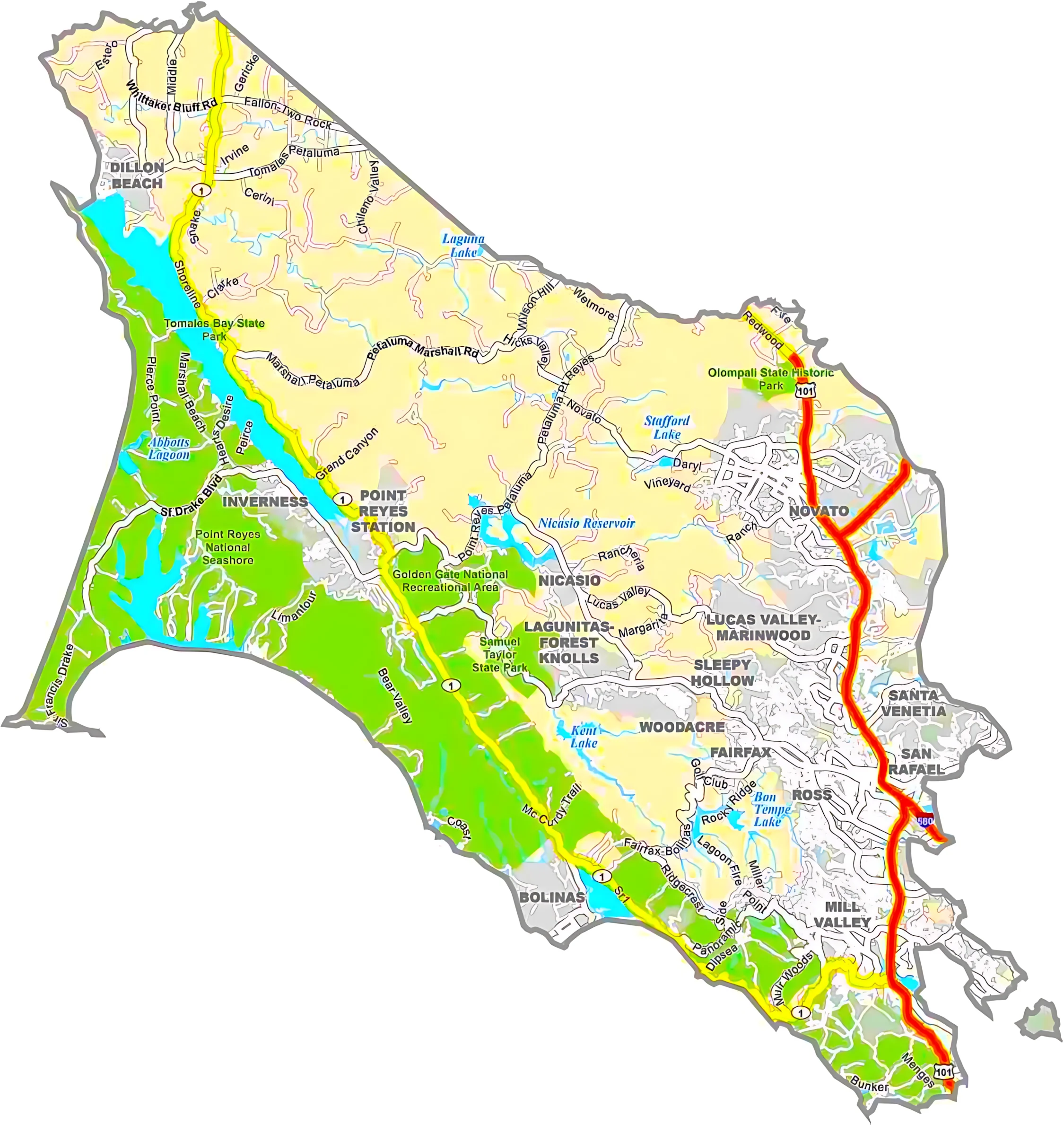
06-041Marin County62.837.2828.2
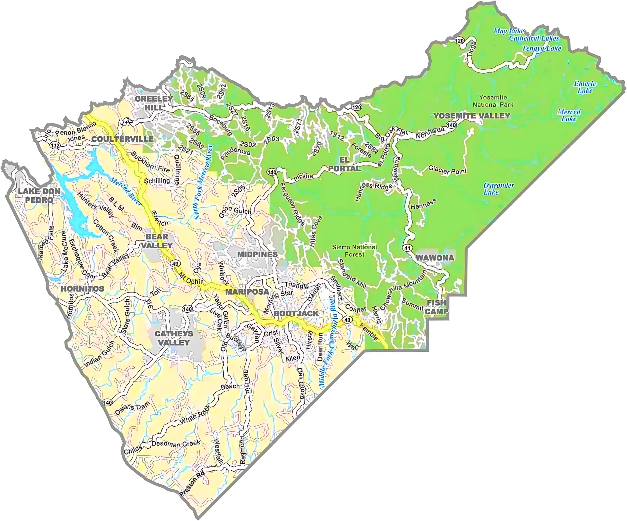
06-043Mariposa County99.01.01,462.8
06-045Mendocino County90.49.63,878.1
06-047Merced County97.82.21,978.6
06-049Modoc County93.26.84,203.2
06-051Mono County97.42.63,131.9
06-053Monterey County87.013.03,771.2
06-055Napa County94.95.1788.6
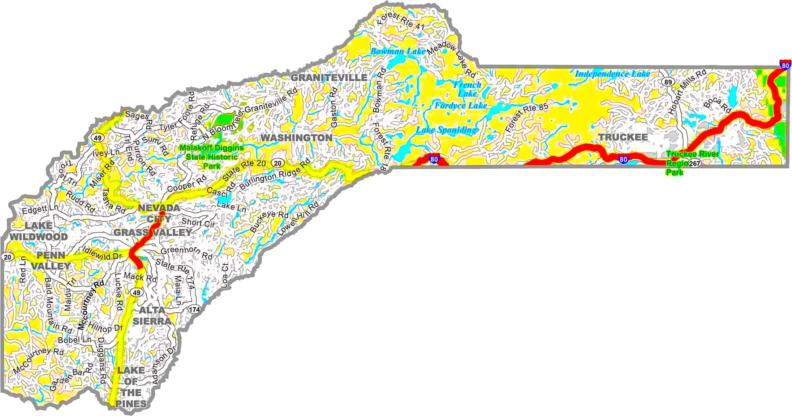
06-057Nevada County98.41.6973.8
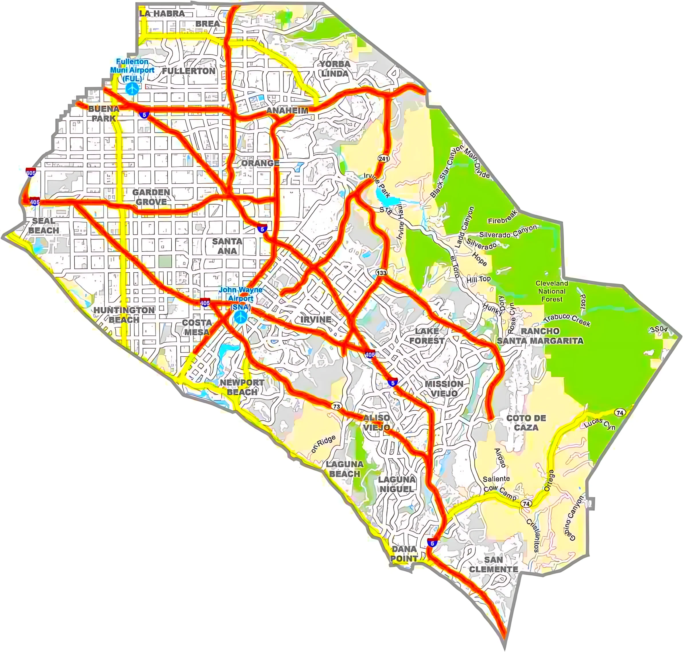
06-059Orange County83.616.4948.0
06-061Placer County93.76.31,502.2
06-063Plumas County97.72.32,613.4
06-065Riverside County98.71.37,303.1
06-067Sacramento County97.12.9994.4
06-069San Benito County99.90.11,390.5
06-071San Bernardino County99.80.220,105.0
06-073San Diego County93.07.04,525.6
06-075San Francisco County20.279.8231.9
06-077San Joaquin County97.62.41,426.7
06-079San Luis Obispo County91.38.73,615.5
06-081San Mateo County60.539.5741.0
06-083Santa Barbara County72.227.83,789.1
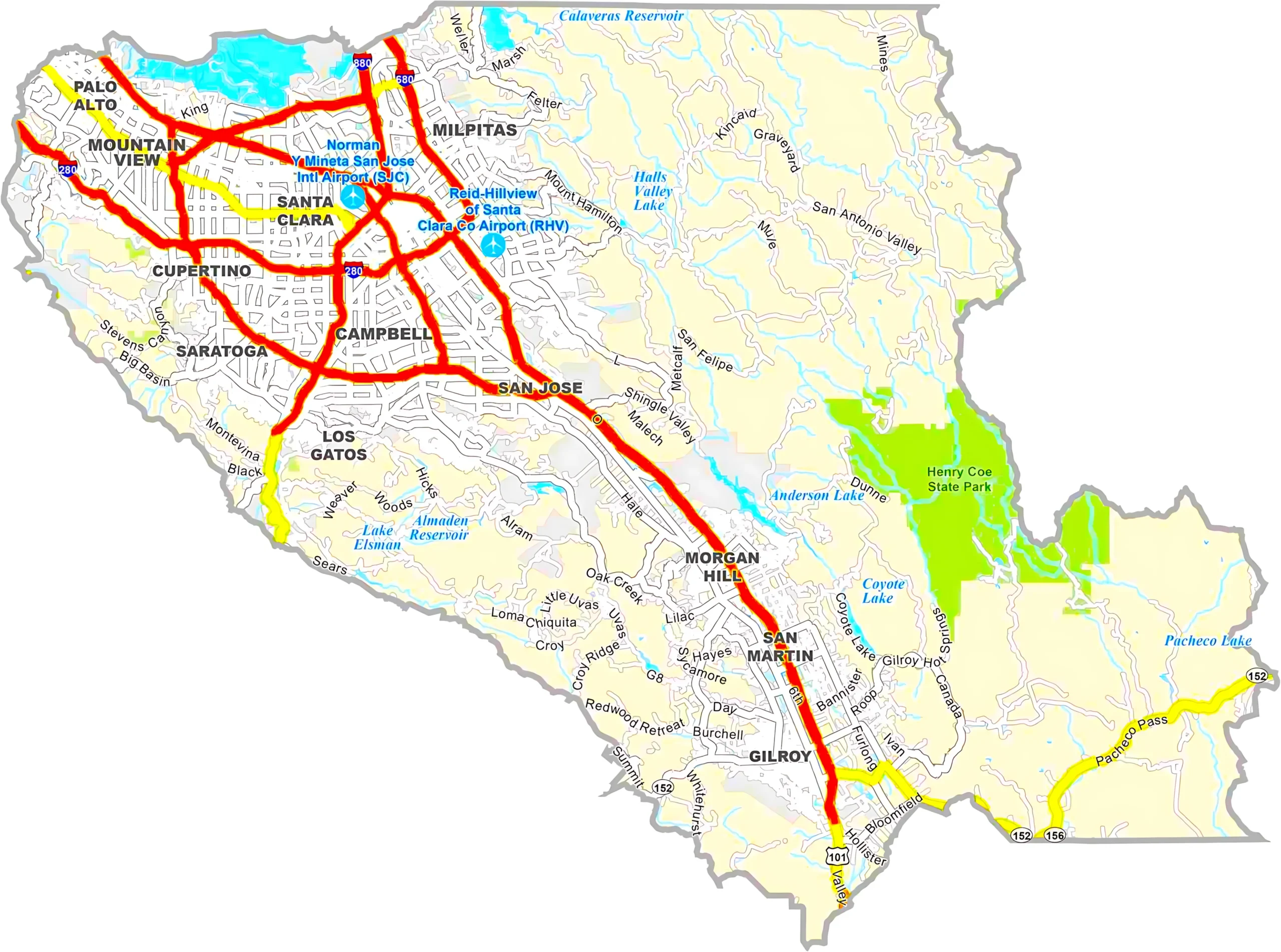
06-085Santa Clara County99.01.01,304.0
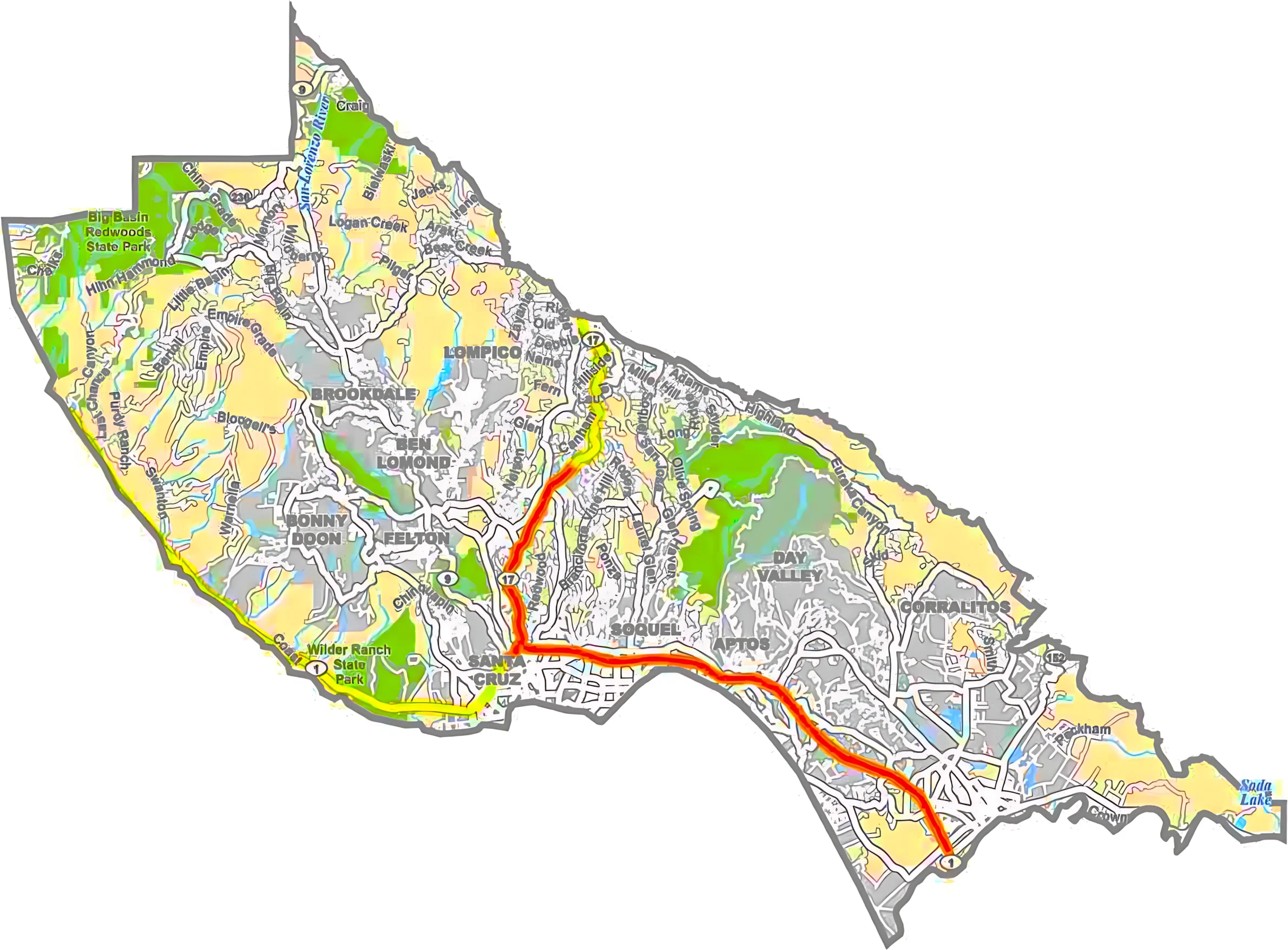
06-087Santa Cruz County73.326.7607.2
06-089Shasta County98.11.93,847.4
06-091Sierra County99.10.9962.2
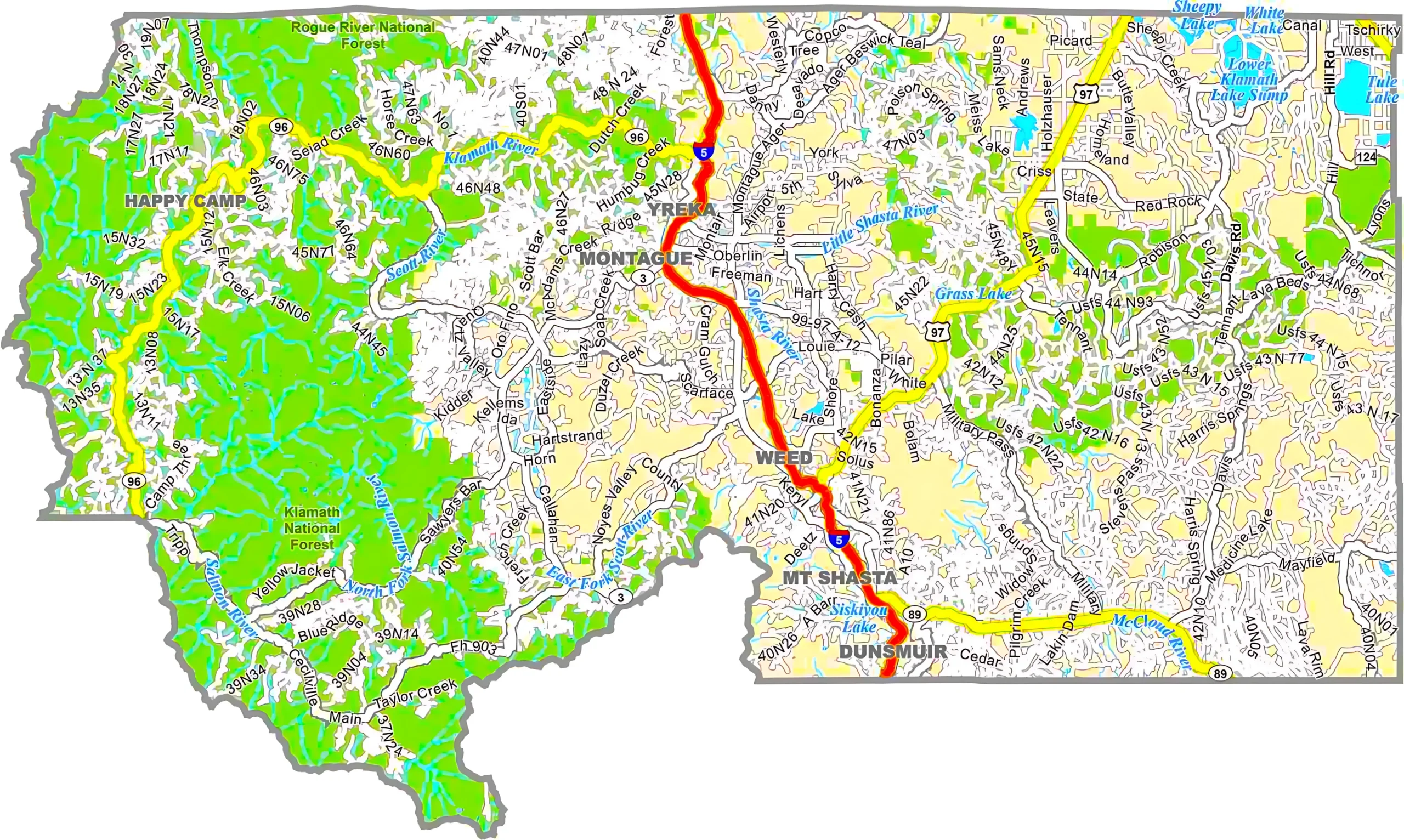
06-093Siskiyou County98.91.16,347.9
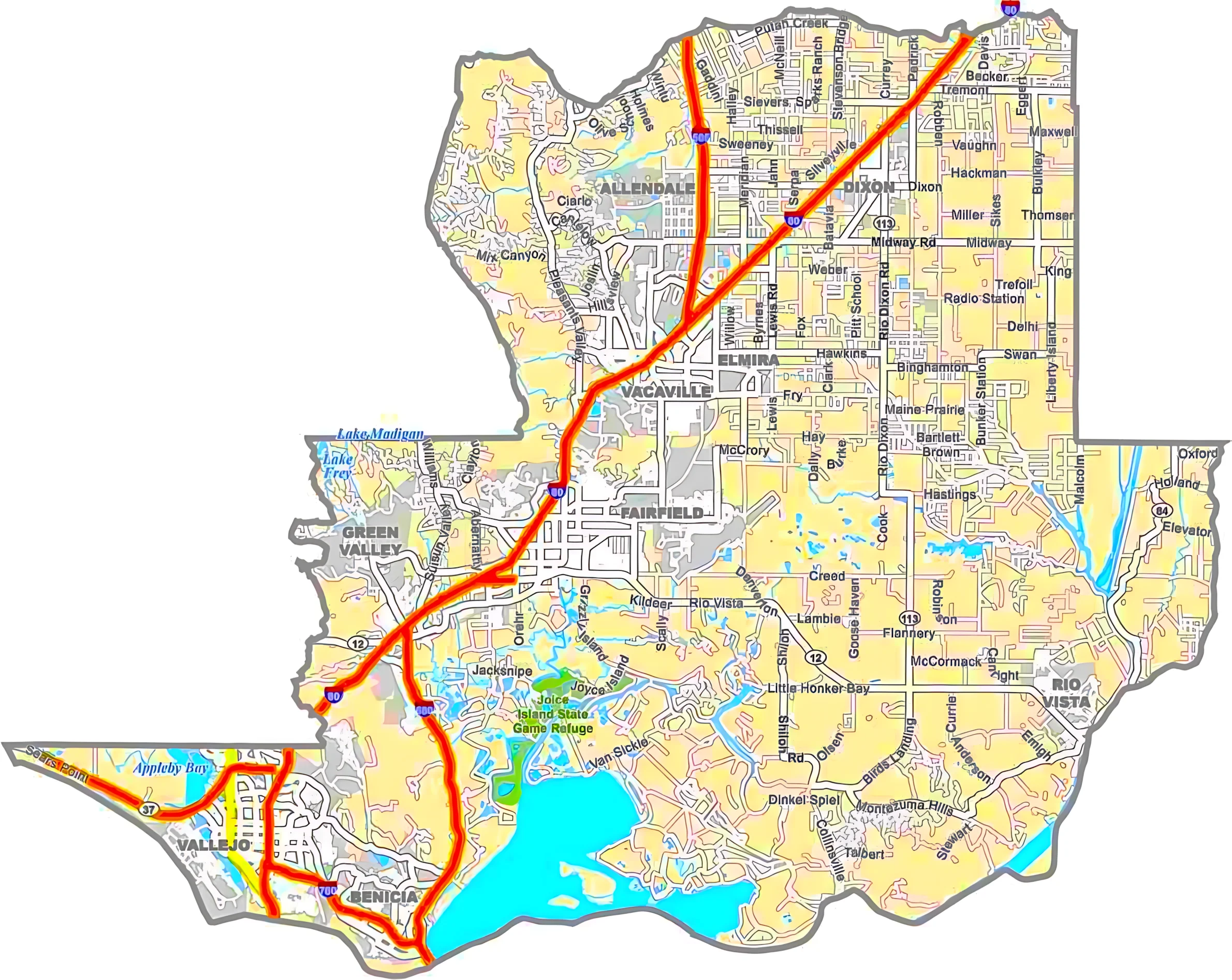
06-095Solano County90.79.3906.2
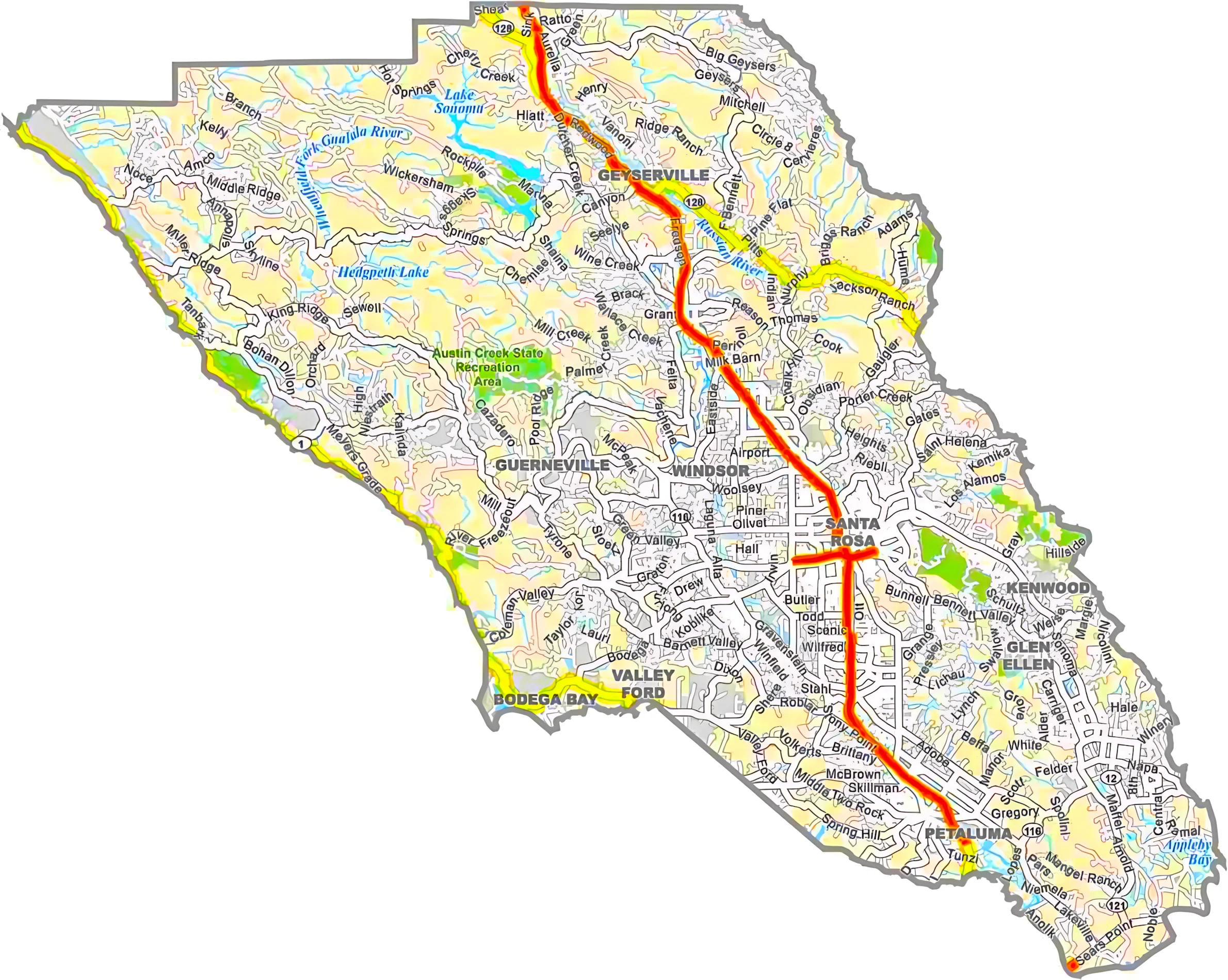
06-097Sonoma County89.110.91,767.9
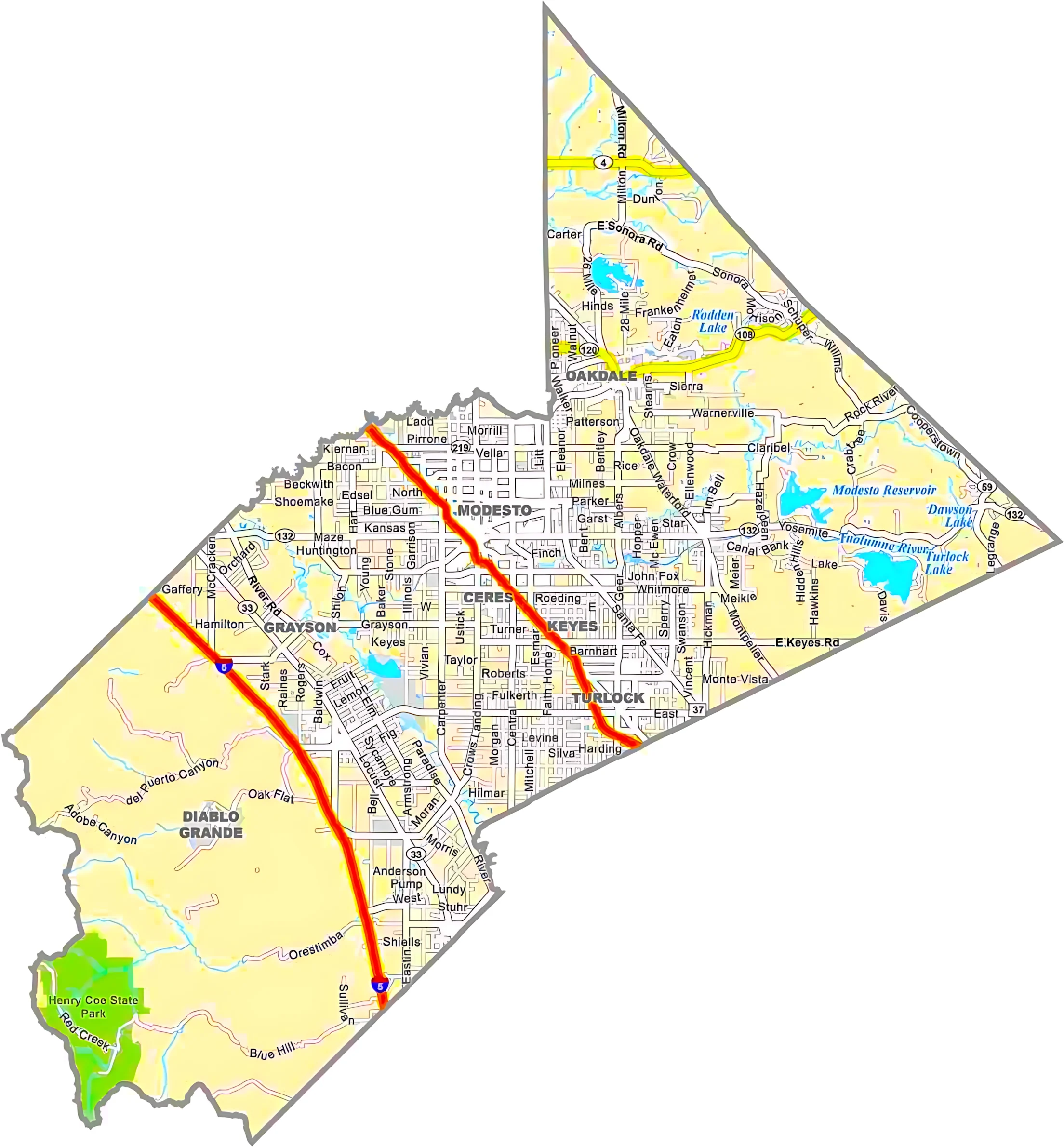
06-099Stanislaus County98.81.21,513.9
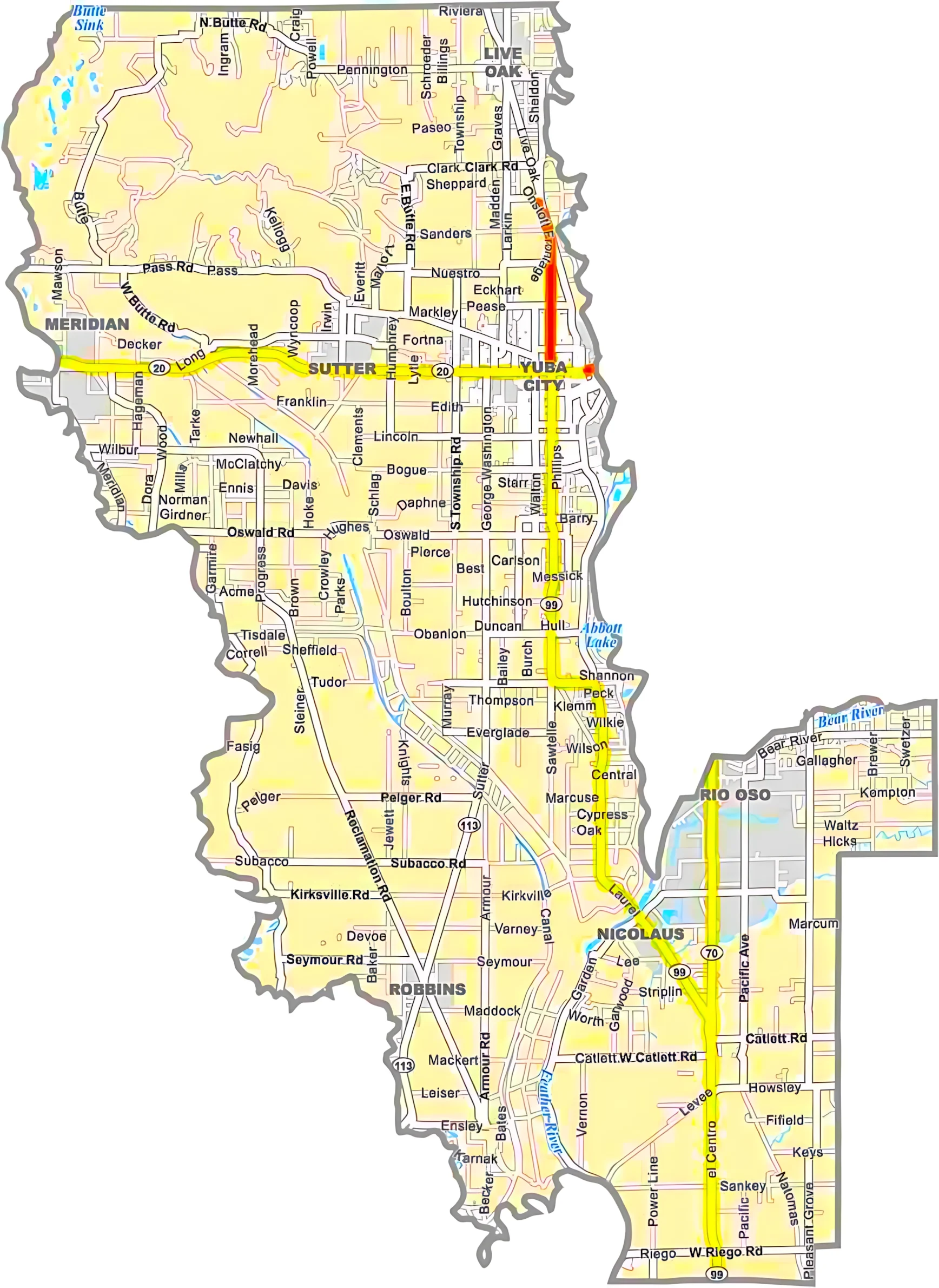
06-101Sutter County99.01.0608.4
06-103Tehama County99.60.42,962.2
06-105Trinity County99.10.93,207.6
06-107Tulare County99.70.34,838.6
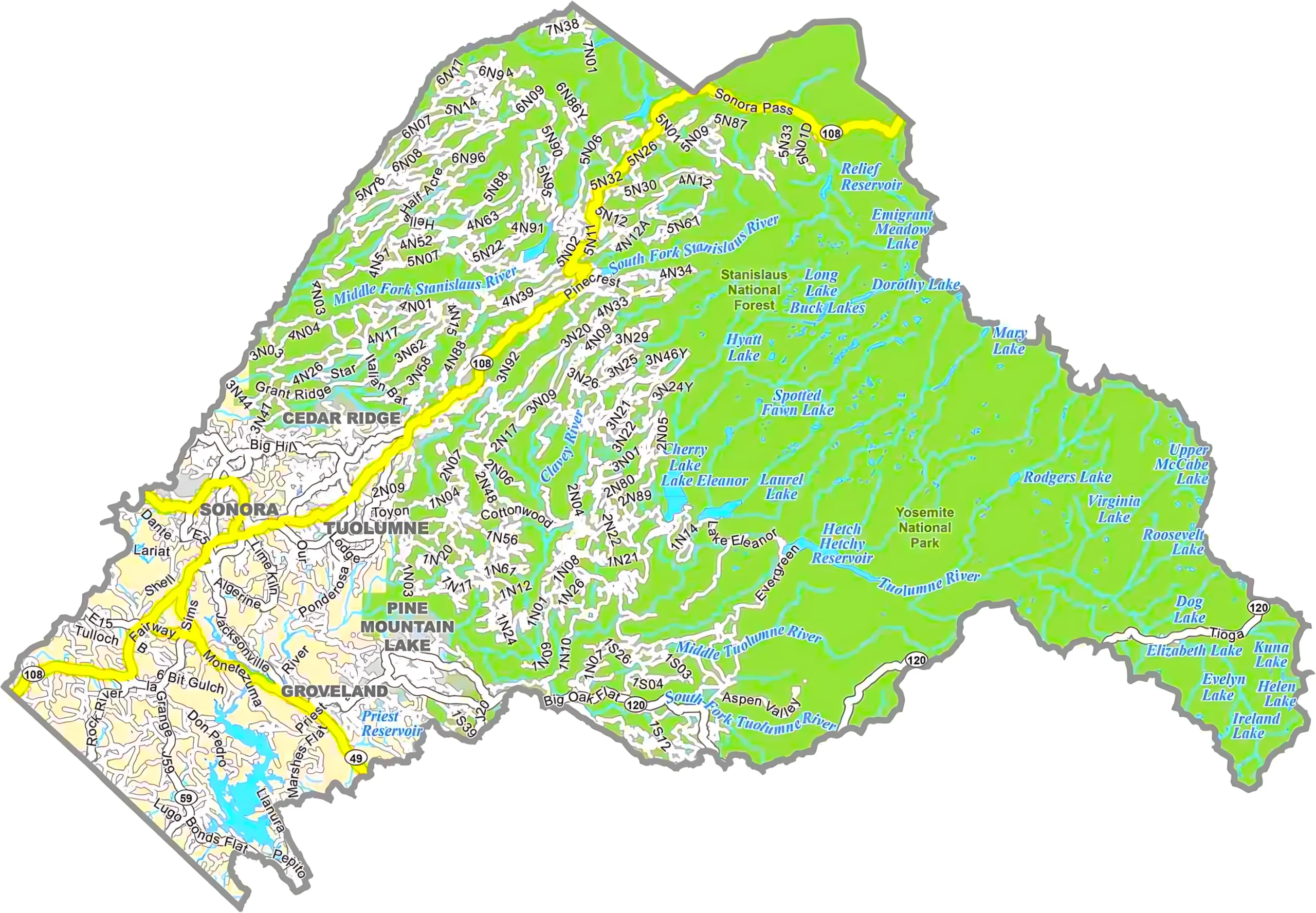
06-109Tuolumne County97.62.42,274.4
06-111Ventura County83.416.62,208.2
06-113Yolo County99.10.91,023.6
06-115Yuba County98.11.9644.0

Scroll to Top