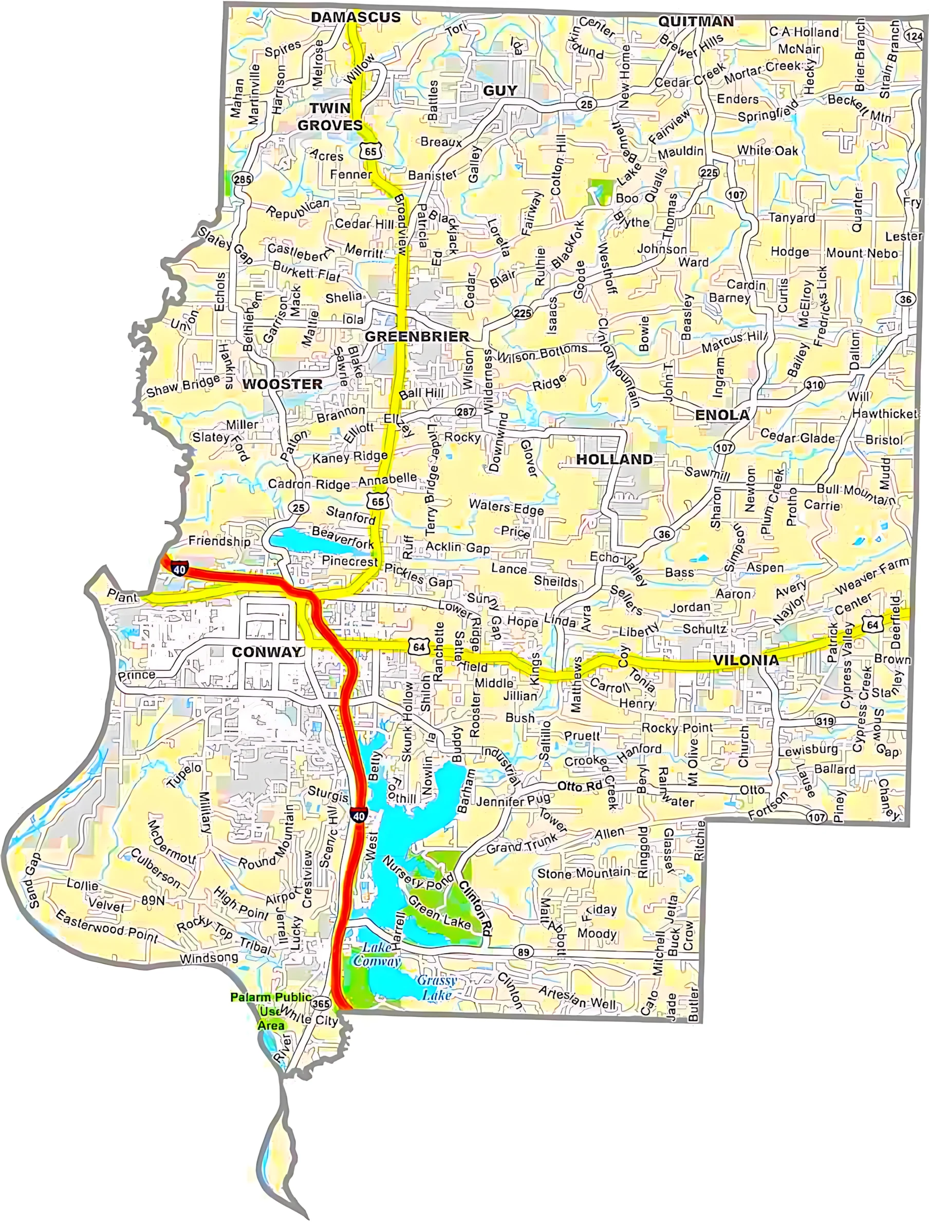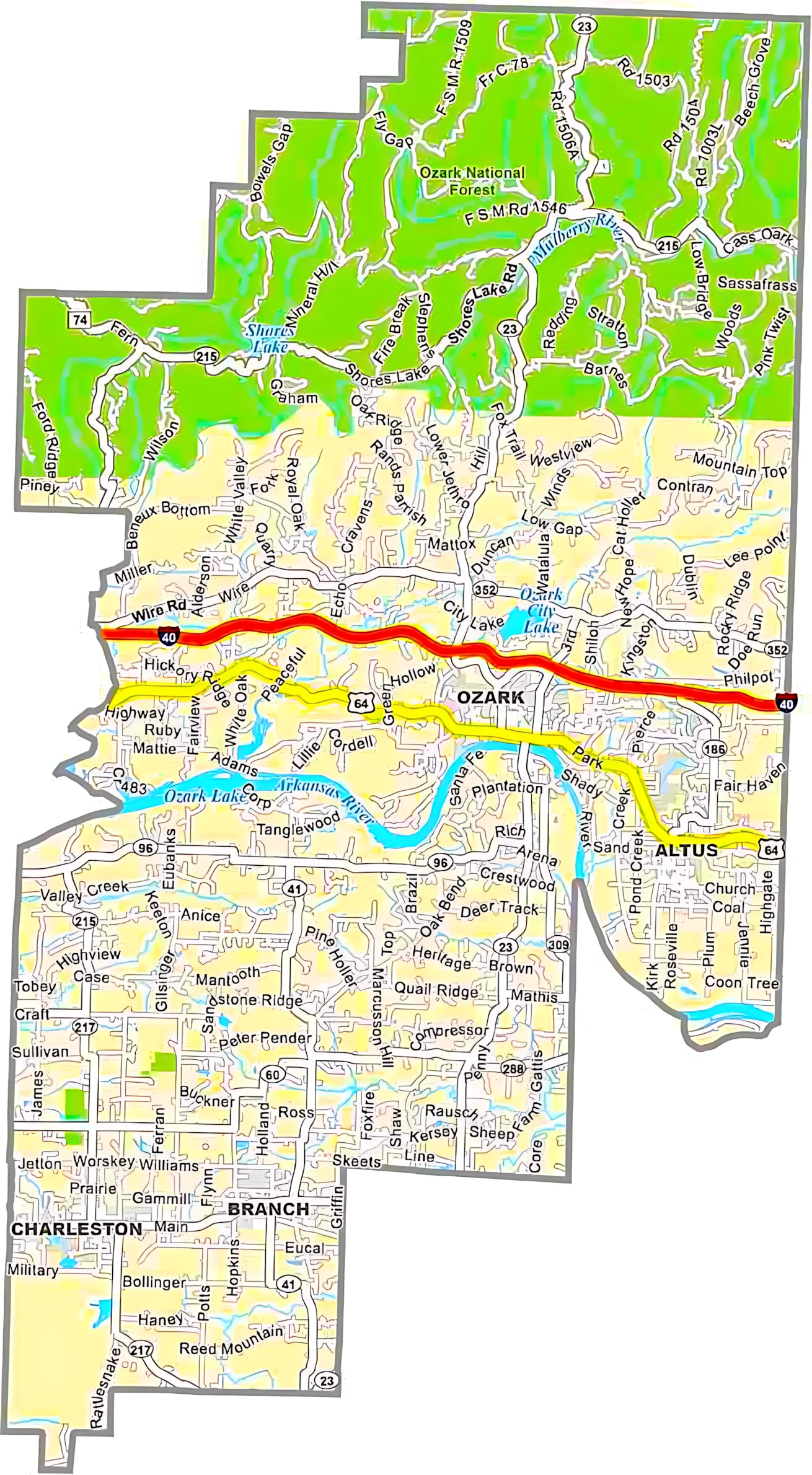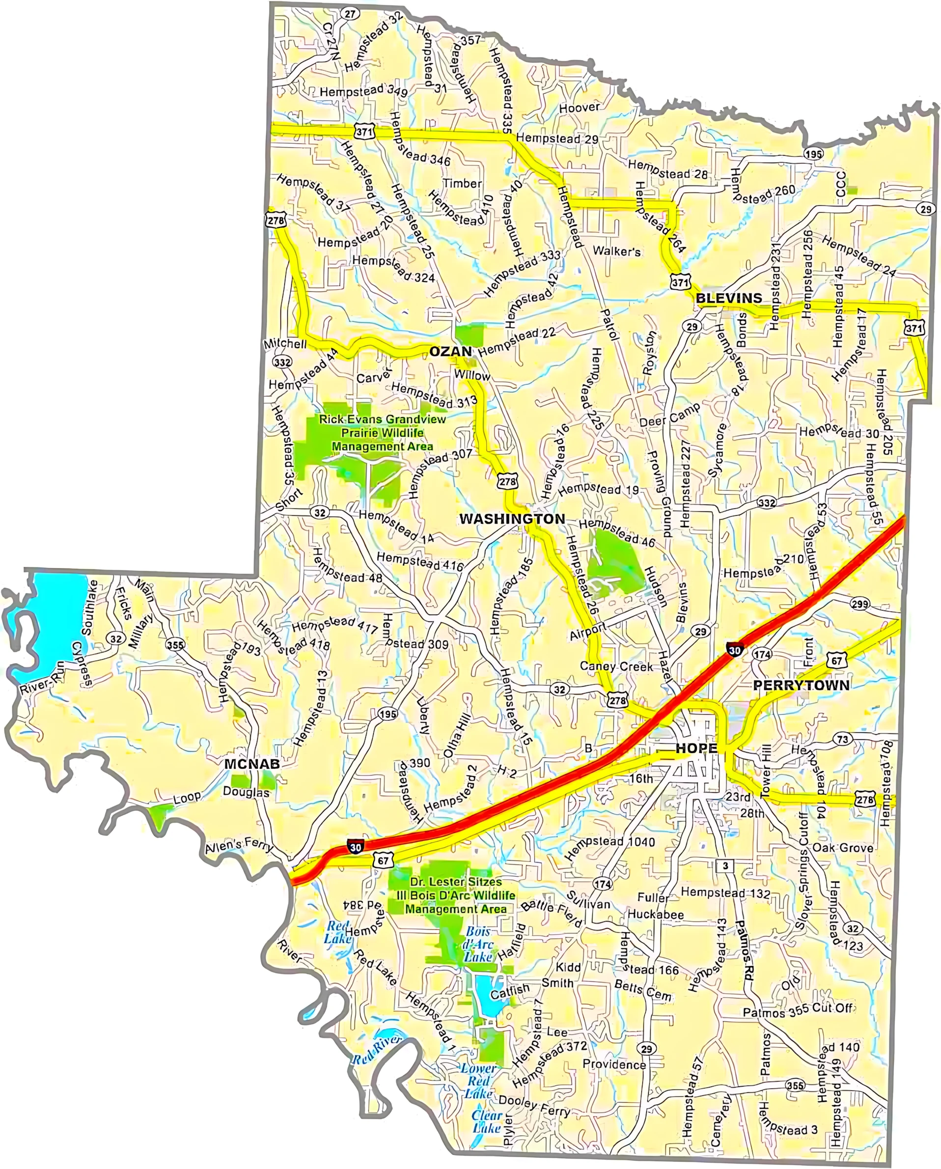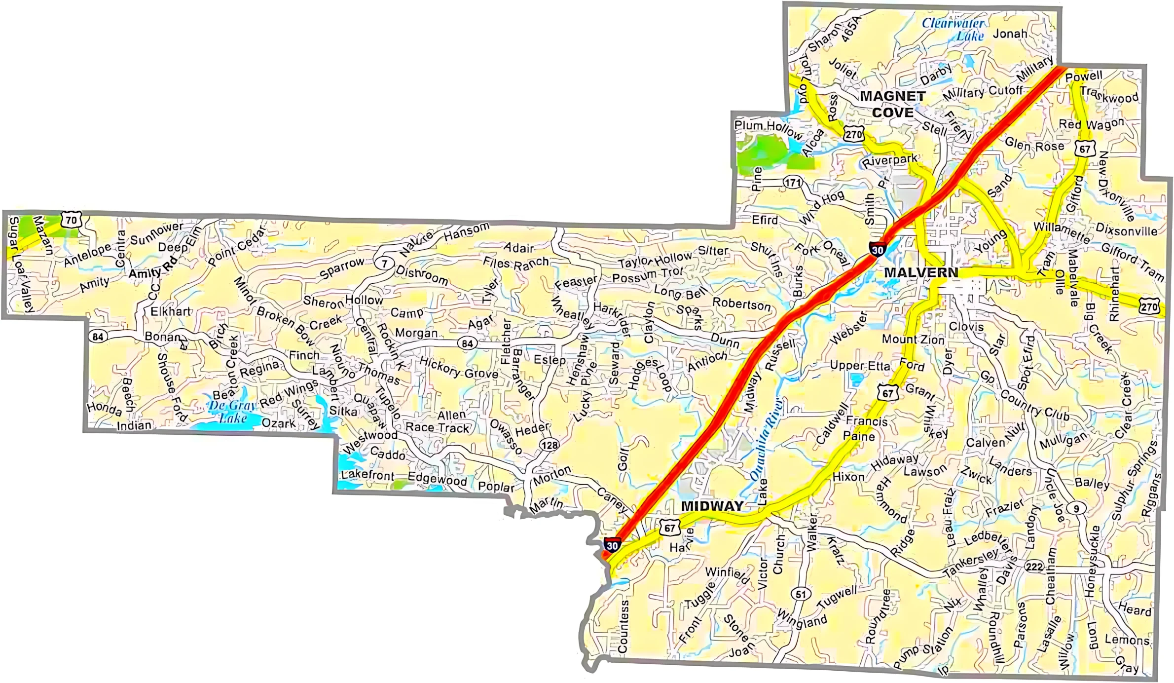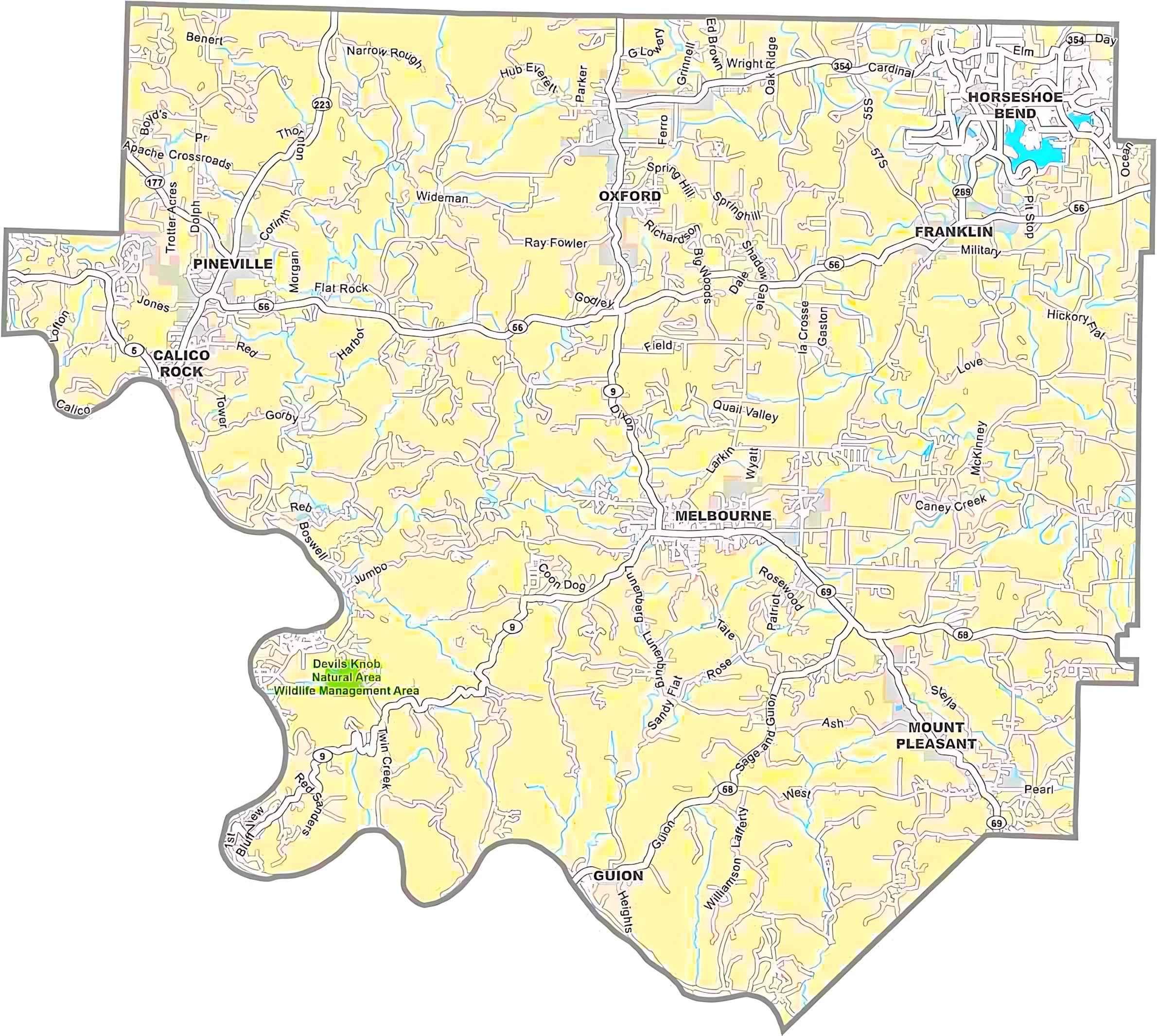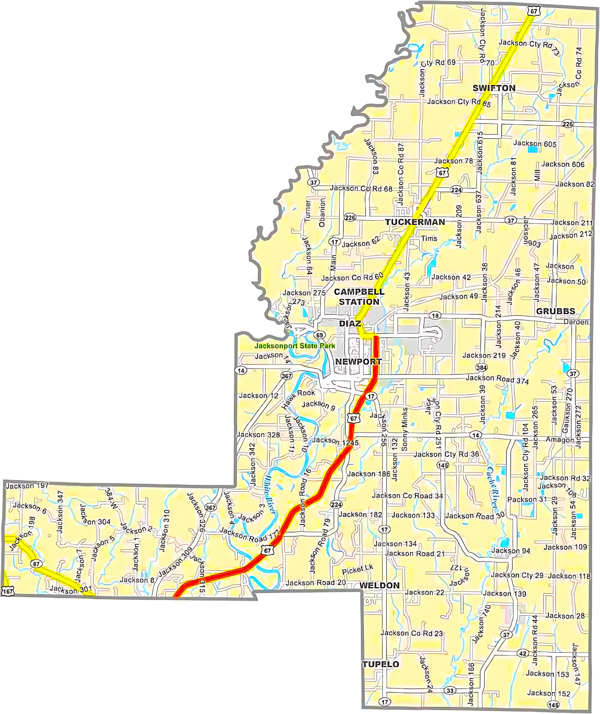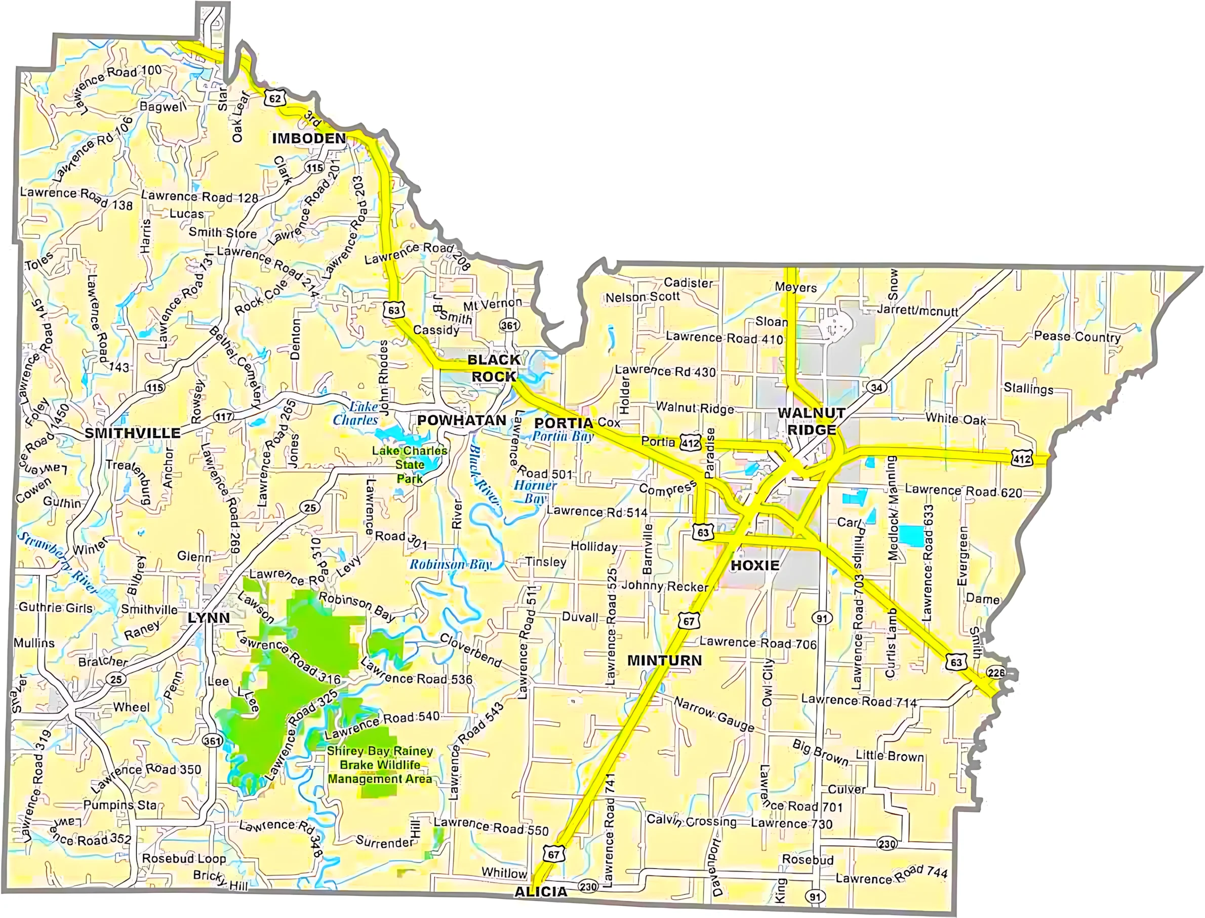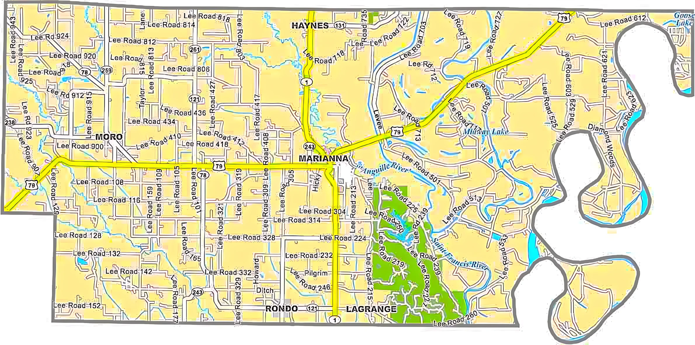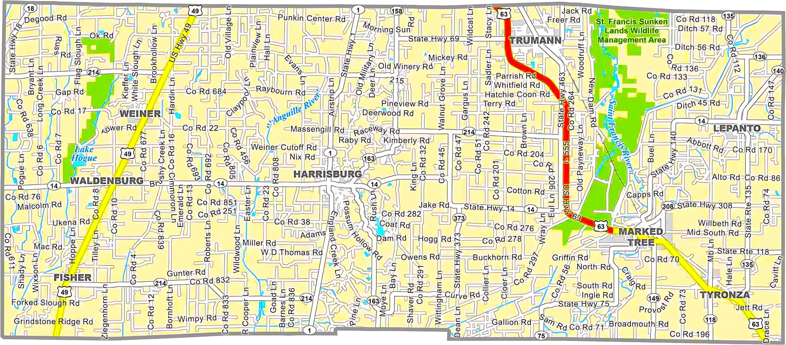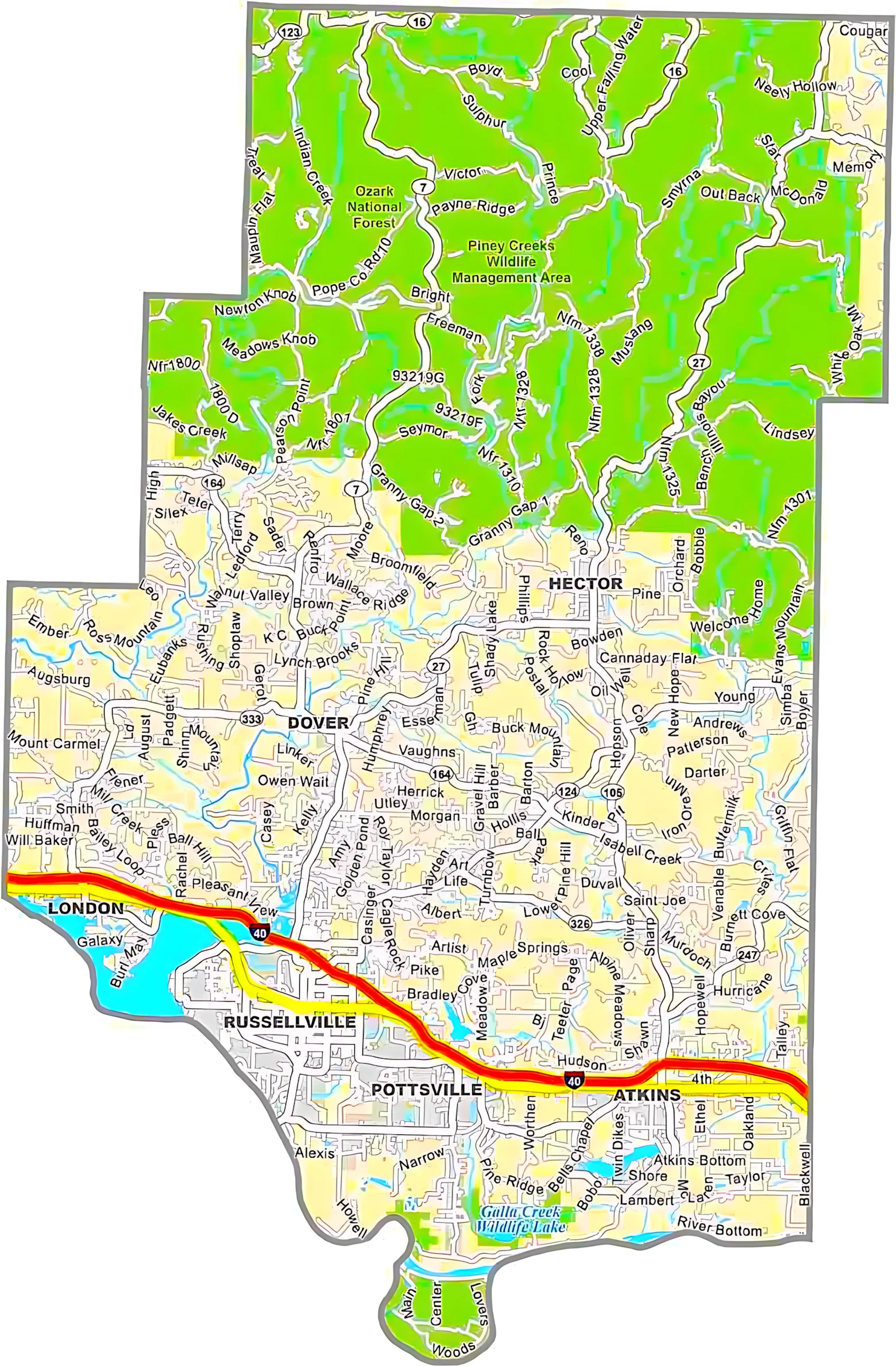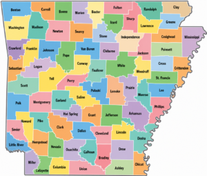
An Arkansas county map is a helpful way to explore the state’s 75 counties, major cities, highways, rivers, and geographic regions. From the Ozark Mountains in the north to the Mississippi Delta in the east, Arkansas features a diverse landscape that is reflected across its counties. Whether you’re researching local geography, planning a trip, or studying county boundaries, this map provides a clear overview of how the state is organized.
Arkansas counties each have their own unique history, culture, and natural features. Pulaski County, home to Little Rock, is the state’s most populous county, while many rural counties showcase forests, farmland, lakes, and scenic mountain terrain. An Arkansas county map makes it easy to identify county locations, neighboring regions, and important transportation routes throughout the state.
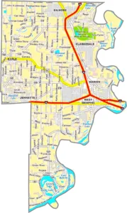
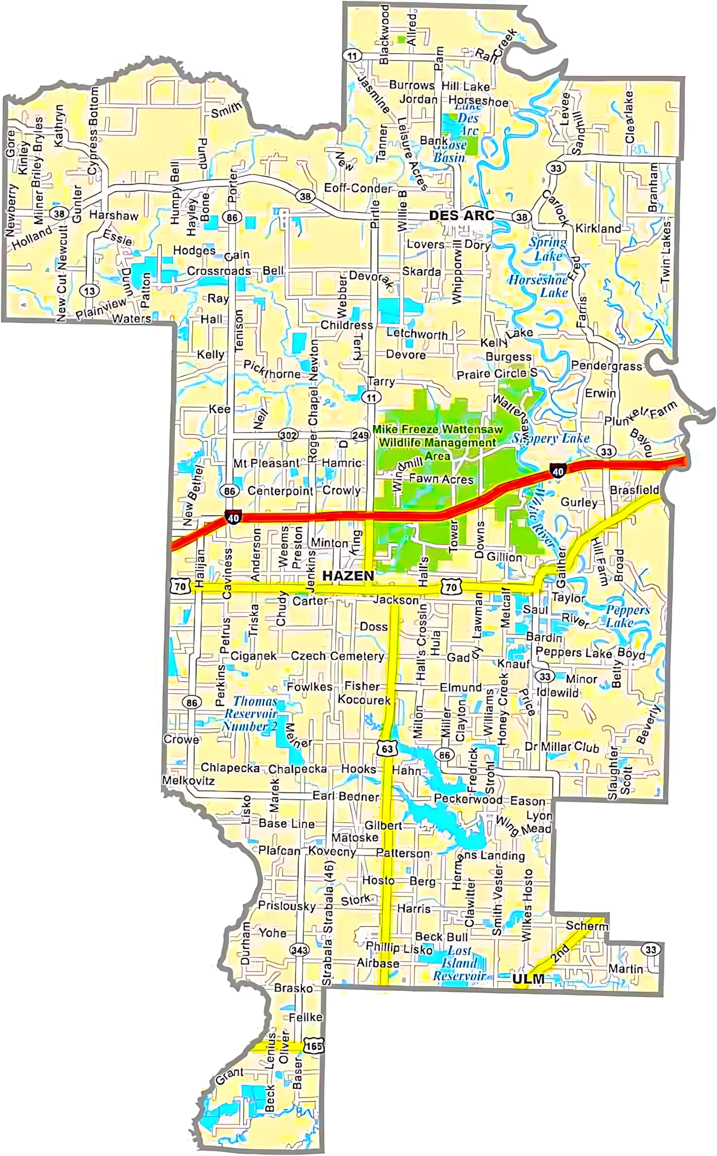
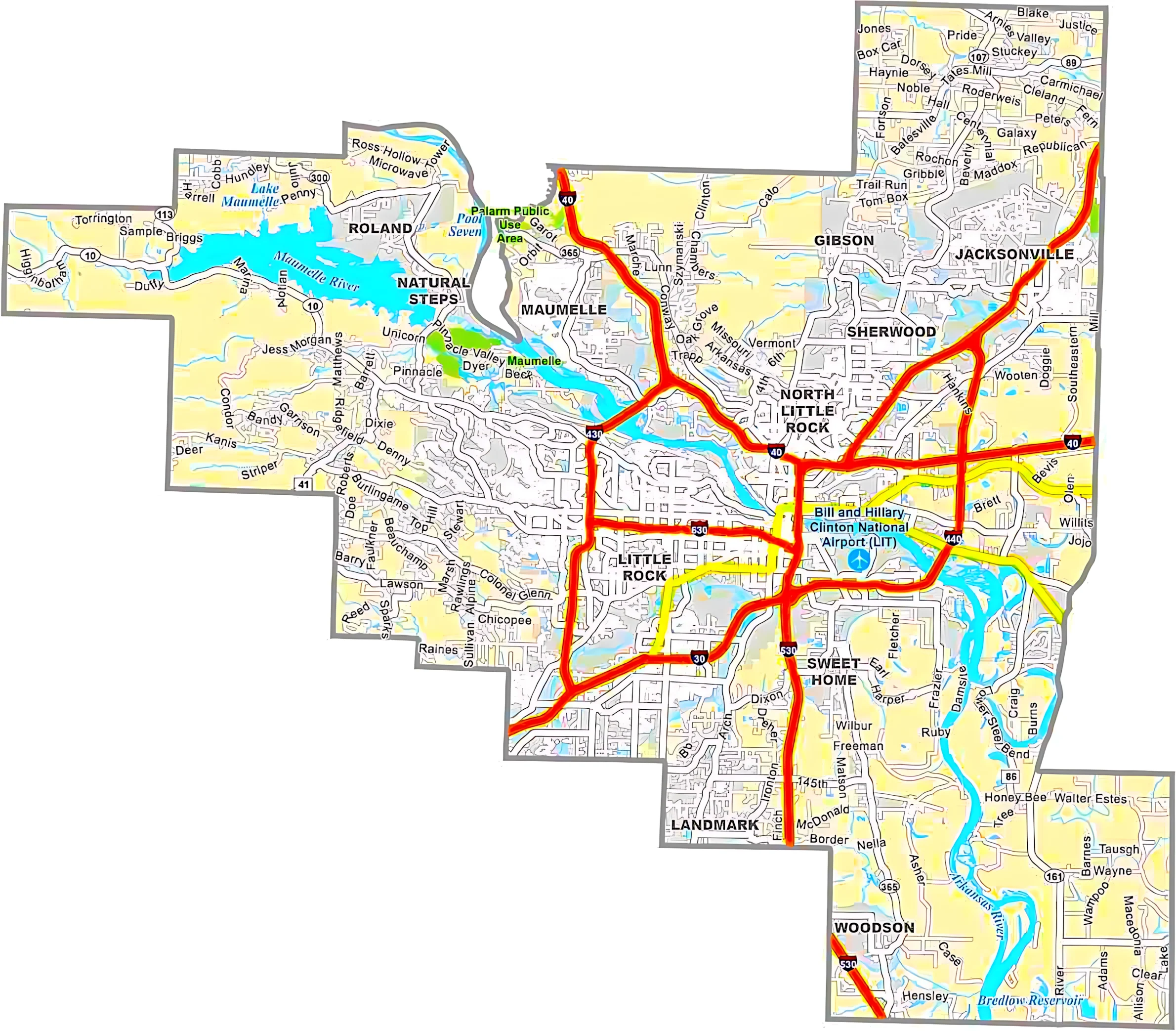
Arkansas Cities and Roads Map

Arkansas Cities
Arkansas County Map : Major Arkansas cities with populations above 10,000 include Arkadelphia, Benton, Bentonville, Blytheville, Cabot, Camden, Conway, El Dorado, Fayetteville, Forrest City, Fort Smith, Harrison, Hot Springs, Jacksonville, Jonesboro, Little Rock, Magnolia, Mountain Home, North Little Rock, Paragould, Pine Bluff, Rogers, Russellville, Searcy, Sherwood, Siloam Springs, Springdale, Texarkana, Van Buren, and West Memphis.
Arkansas Interstates
Arkansas is connected by several major interstate highways. Interstate 55 runs north to south through the eastern part of the state, while Interstate 30 and Interstate 40 serve as the primary east-west routes.
Arkansas Routes
Important U.S. highways and state routes in Arkansas include Route 49, Route 62, Route 63, Route 64, Route 65, Route 67, Route 70, Route 71, Route 79, Route 82, Route 165, Route 167, Route 270, Route 412, and Route 425.
Arkansas County Seat Map

Arkansas County Map : An Arkansas County Seat Map highlights all 75 counties along with their official county seat cities. It’s a useful resource for understanding the state’s local government structure, major administrative centers, and regional geography. The map makes it easy to locate county boundaries and identify important cities across Arkansas.
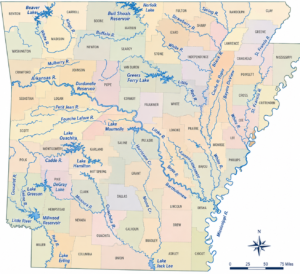
Arkansas Rivers Map


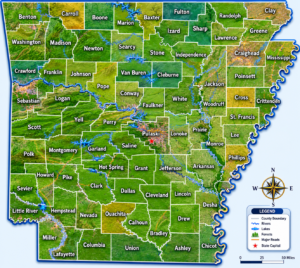
Arkansas County Map :An Arkansas Rivers Map showcases the state’s major rivers, lakes, and waterways that shape its landscape and economy. Key rivers such as the Arkansas River, Mississippi River, White River, and Red River flow through different regions of the state, supporting agriculture, transportation, fishing, and outdoor recreation. This map provides a clear view of Arkansas’s important water systems and natural geography.
Arkansas Topographic Map

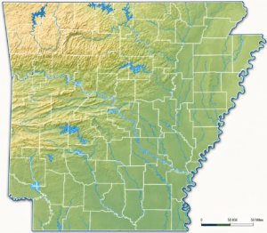
Arkansas County Map This generalized topographic map of Arkansas highlights elevation patterns and physical features across the state. It provides a broad view of Arkansas’s mountains, valleys, rivers, and lowlands. More detailed topographic maps and aerial imagery are available through the Geology.com store. Arkansas’s highest point is Magazine Mountain, which rises to 2,753 feet, while the state’s lowest point is located along the Ouachita River at just 55 feet above sea level.
Arkansas Satellite Map

Discover Arkansas in greater detail with our satellite county map. Clearly marked county boundaries make it simple to identify major cities, rivers, highways, and the state’s diverse landscapes.
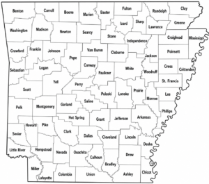
Arkansas County Map Simple

Arkansas Counties
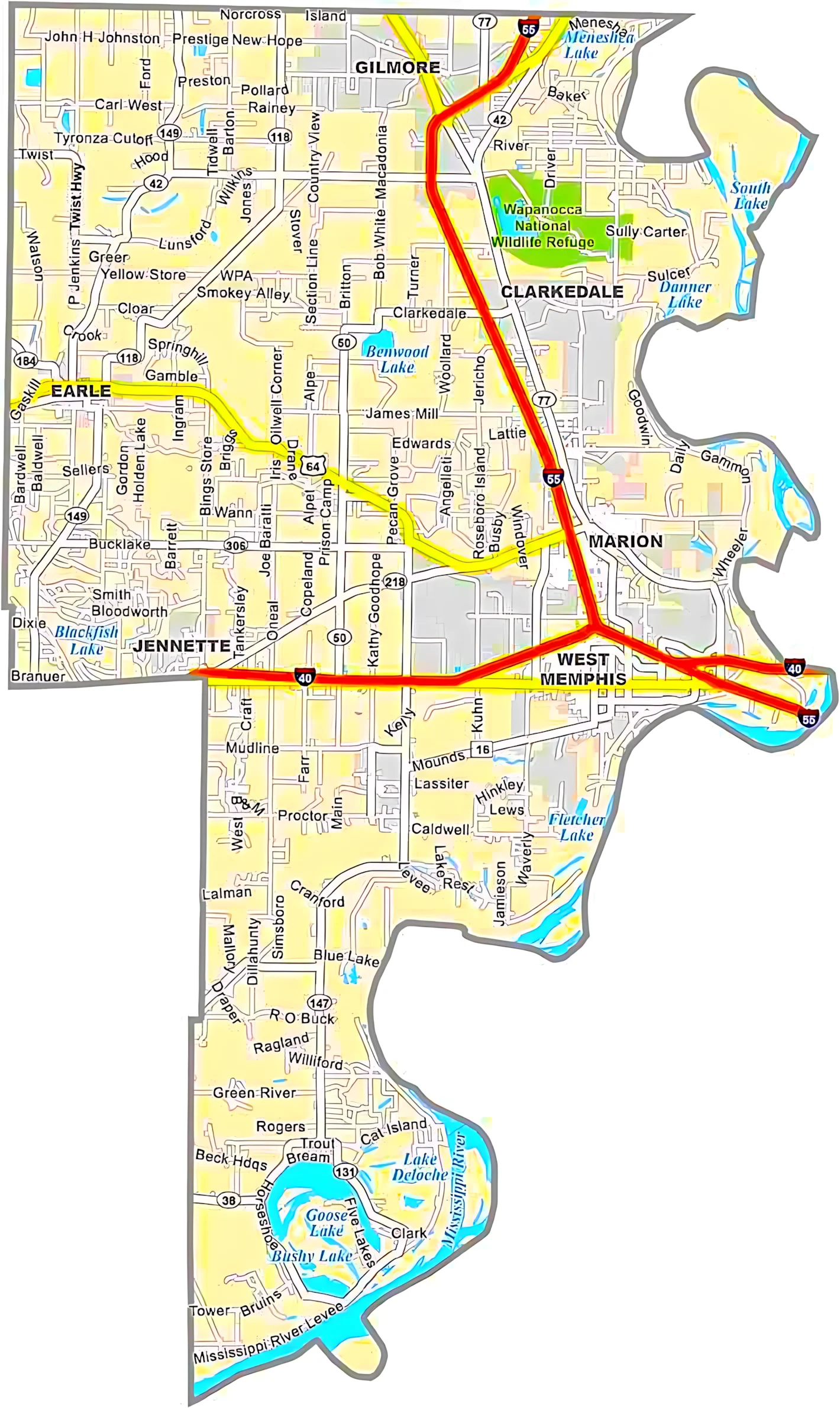
Pulaski County is Arkansas’s most populous county and serves as the home of Little Rock, the state capital and largest city. On the other hand, Calhoun County is the least populous county in Arkansas. Located in the south-central region of the state, it’s known for its quiet pine forests, rural communities, and relaxed pace of life.
Most Populous: Pulaski County
Least Populous: Calhoun County
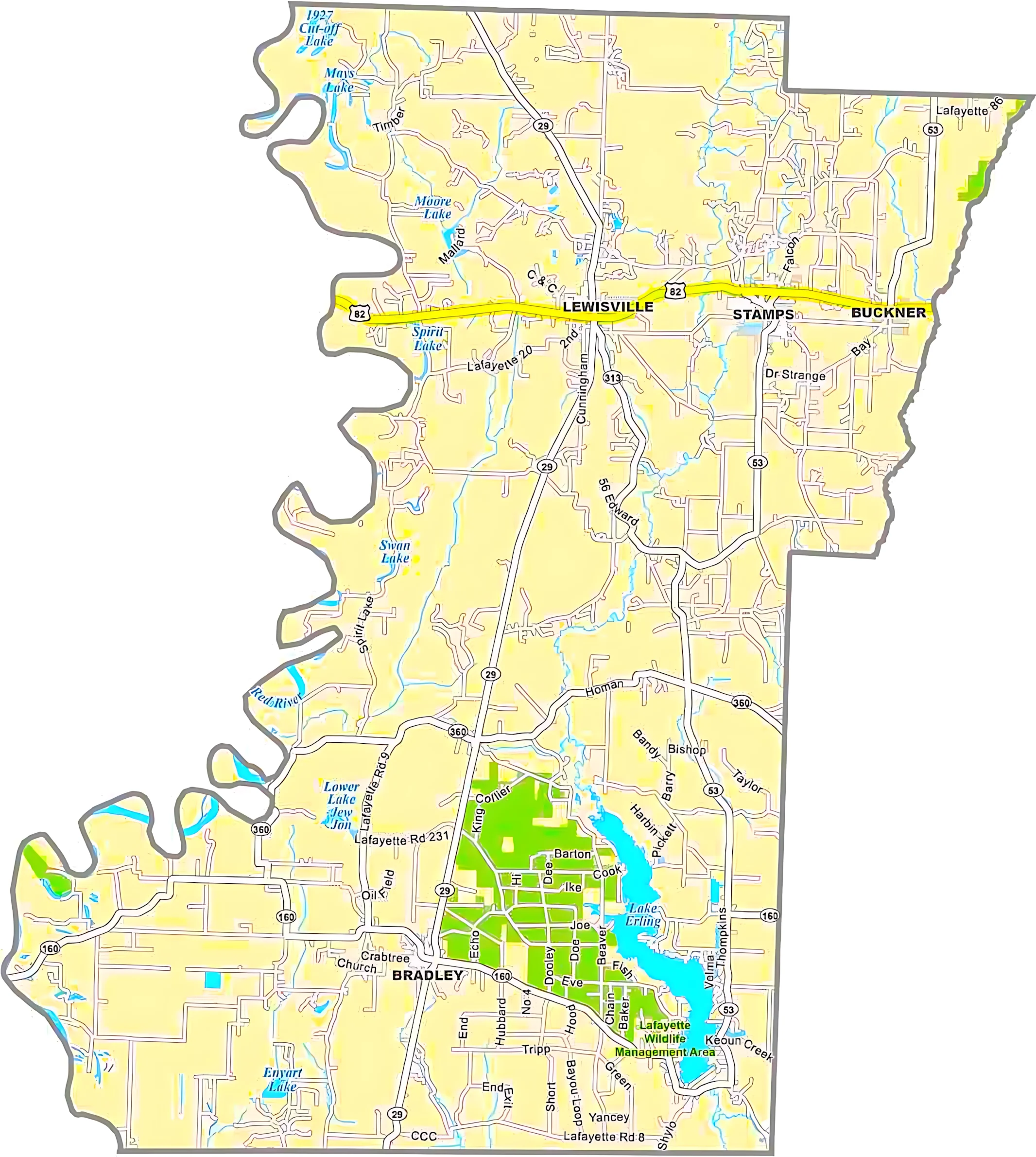
When it comes to land area, Union County is the largest county in Arkansas. Situated in the southwestern part of the state near the Louisiana border, it covers a vast stretch of forests and rolling terrain. In contrast, Lafayette County is Arkansas’s smallest county by area. Though smaller in size, it carries a rich local history and unique character.
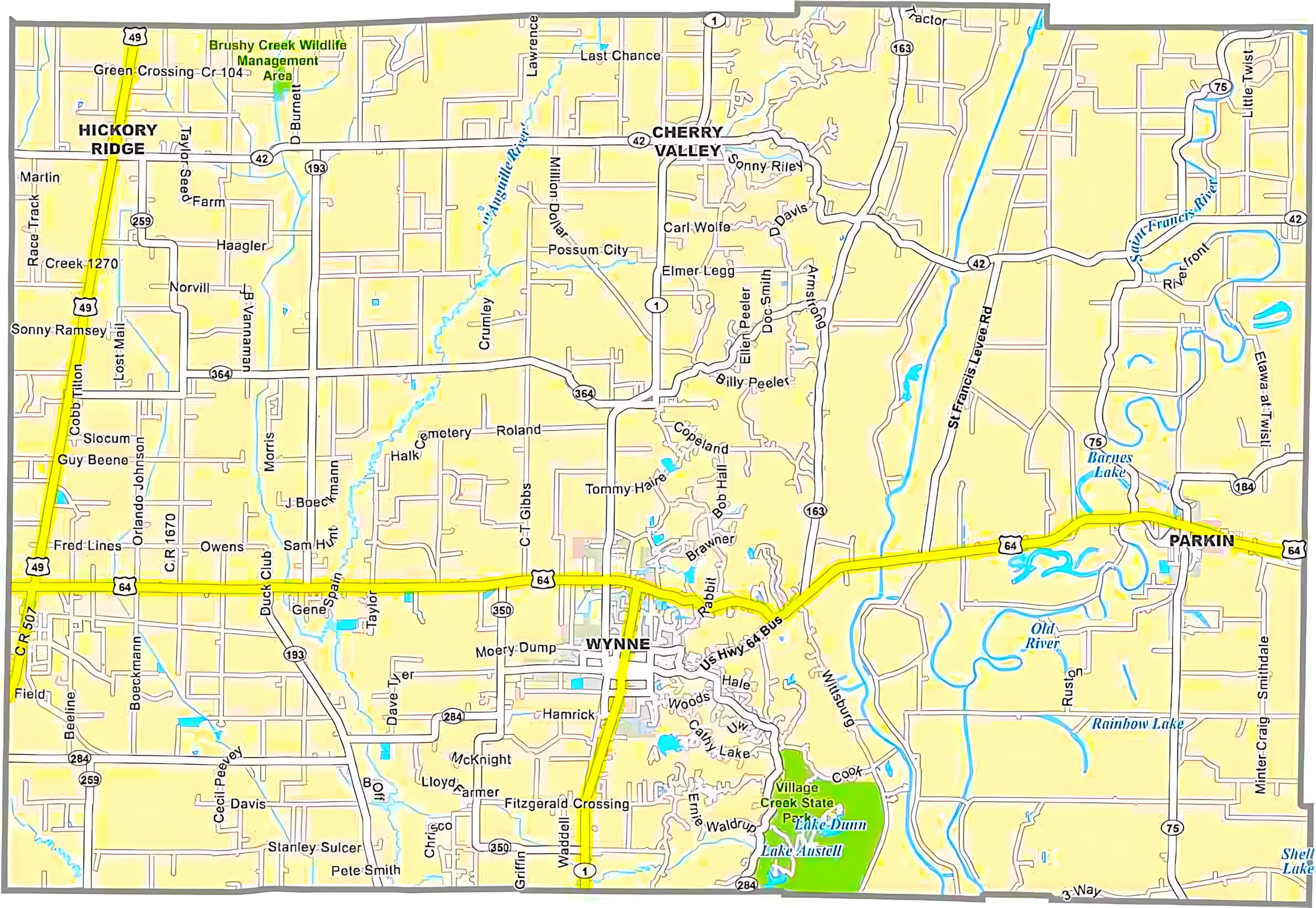
Largest Area: Union County
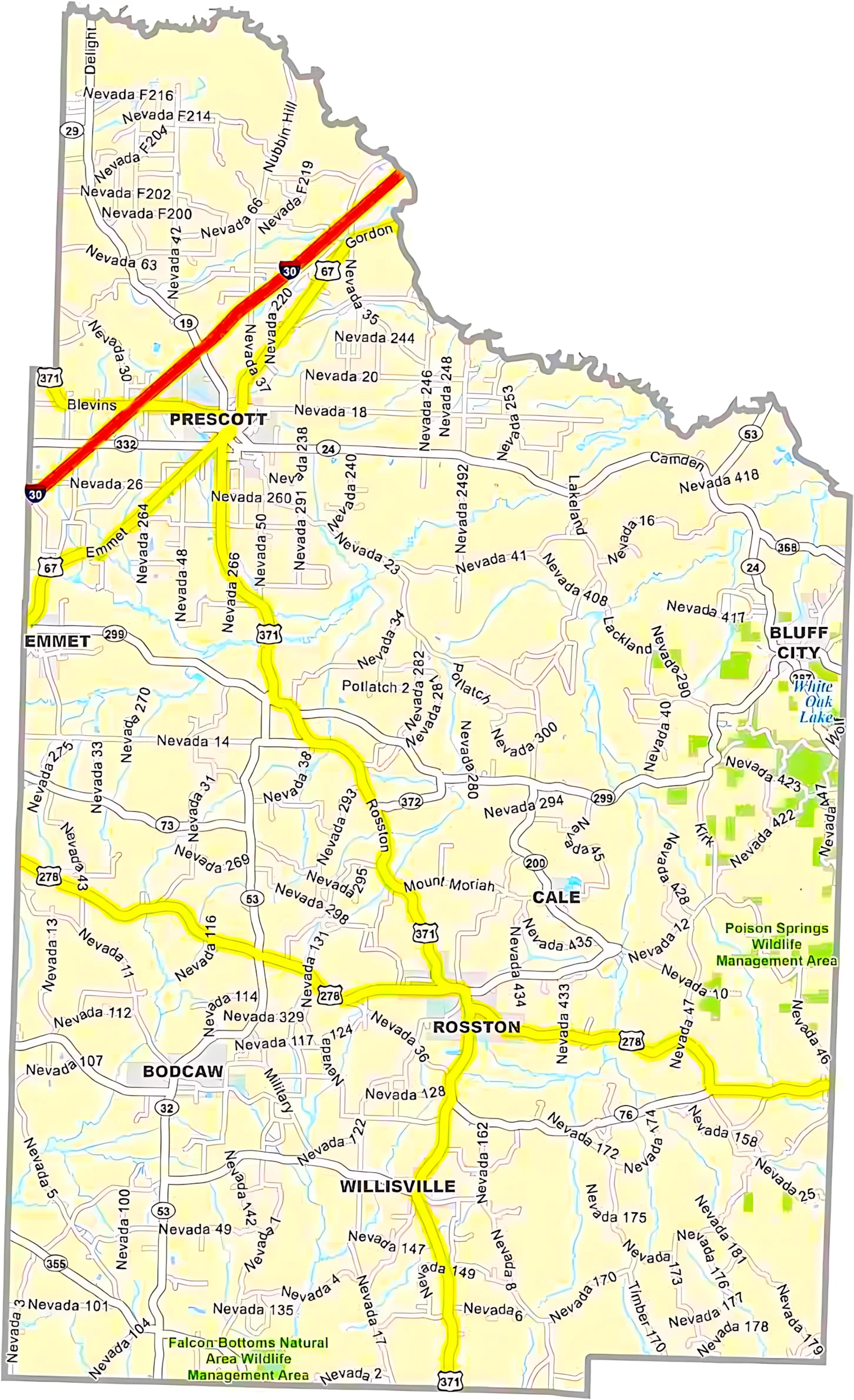
Smallest Area: Lafayette County
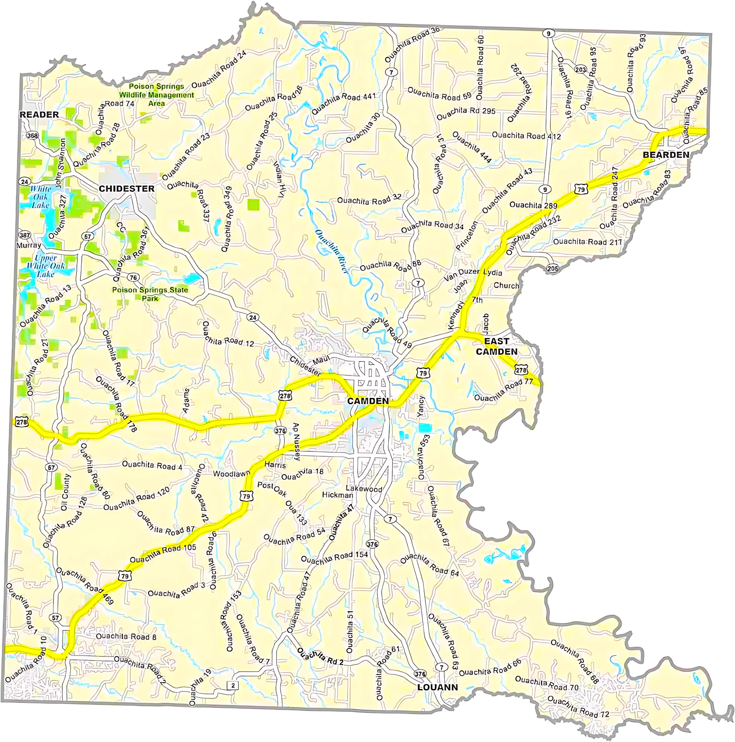
Arkansas counties are deeply connected to the state’s history and cultural heritage. Washington County was one of the original counties established in 1818 when Arkansas was still a territory. Desha County was named after a War of 1812 veteran who later became governor, while counties such as Ouachita and Chicot preserve Native American influences in their names and history.
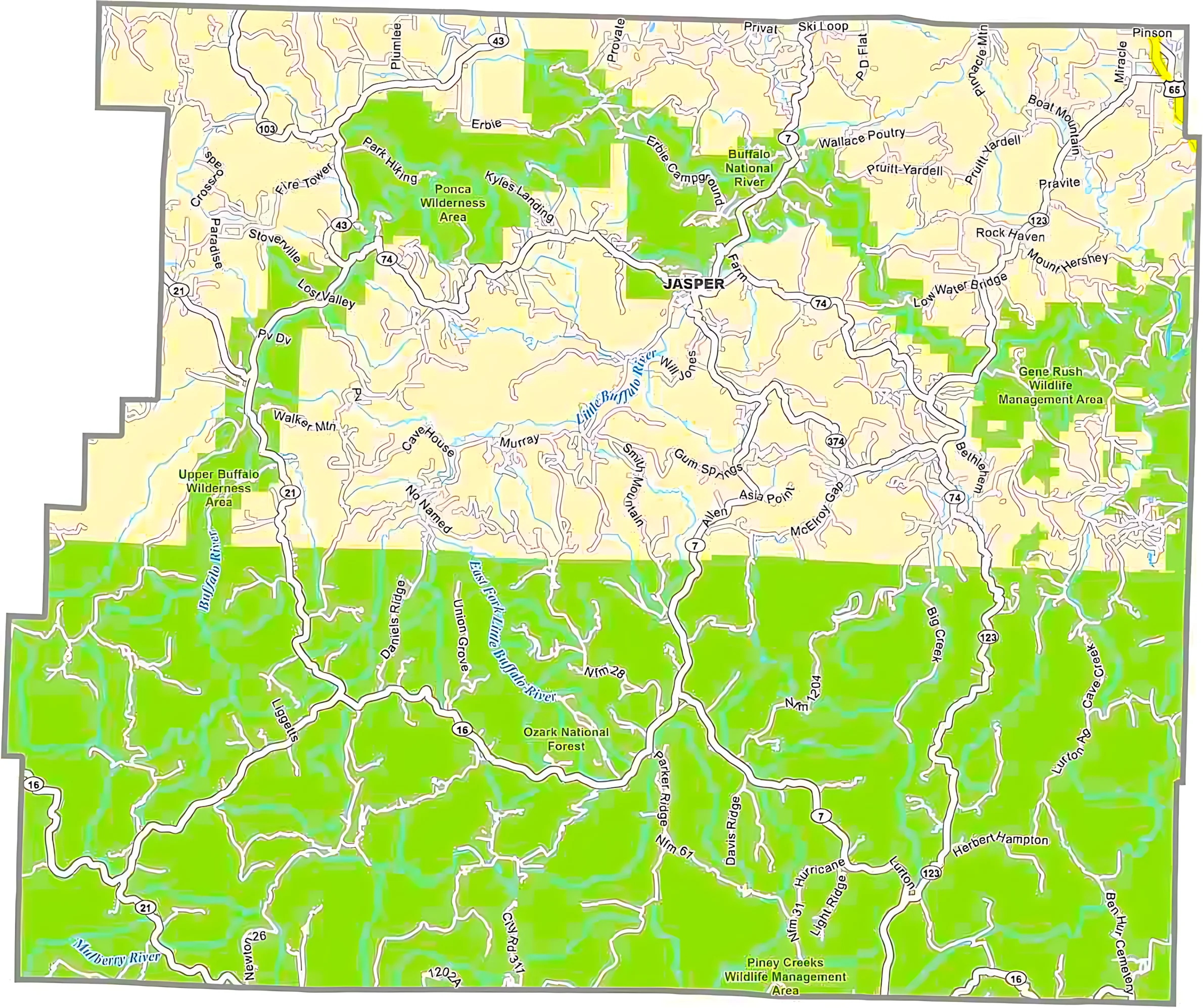
Each Arkansas county has its own distinct identity. Garland County is famous for its natural hot springs, Benton County is widely recognized as the home of Walmart, and Crittenden County sits along the Mississippi River across from Memphis, Tennessee. Arkansas also has several counties with two county seats, a unique feature that dates back to a time when long-distance travel was difficult for residents handling county affairs.
Arkansas County Map List
| FIPS Code | County Name | Land % | Water % | Total Area (sq mi) |
|---|---|---|---|---|
| 05-001 | Arkansas County | 95.6% | 4.4% | 1,033.7 |
| 05-003 | Ashley County | 98.4% | 1.6% | 940.5 |
| 05-005 | Baxter County | 94.5% | 5.5% | 586.7 |
| 05-007 | Benton County | 95.9% | 4.1% | 883.9 |
| 05-009 | Boone County | 98.0% | 2.0% | 602.0 |
| 05-011 | Bradley County | 99.4% | 0.6% | 652.9 |
| 05-013 | Calhoun County | 99.4% | 0.6% | 632.4 |
| 05-015 | Carroll County | 98.6% | 1.4% | 638.6 |
| 05-017 | Chicot County | 93.3% | 6.7% | 690.8 |
| 05-019 | Clark County | 98.1% | 1.9% | 882.8 |
| 05-021 | Clay County | 99.7% | 0.3% | 641.4 |
| 05-023 | Cleburne County | 93.5% | 6.5% | 591.9 |
| 05-025 | Cleveland County | 99.8% | 0.2% | 598.7 |
| 05-027 | Columbia County | 99.9% | 0.1% | 766.7 |
| 05-029 | Conway County | 97.5% | 2.5% | 566.7 |
| 05-031 | Craighead County | 99.2% | 0.8% | 712.7 |
| 05-033 | Crawford County | 98.0% | 2.0% | 603.2 |
| 05-035 | Crittenden County | 95.9% | 4.1% | 636.4 |
| 05-037 | Cross County | 99.0% | 1.0% | 622.3 |
| 05-039 | Dallas County | 99.9% | 0.1% | 668.1 |
| 05-041 | Desha County | 93.7% | 6.3% | 819.5 |
| 05-043 | Drew County | 99.1% | 0.9% | 835.7 |
| 05-045 | Faulkner County | 97.6% | 2.4% | 664.1 |
| 05-047 | Franklin County | 98.3% | 1.7% | 619.6 |
| 05-049 | Fulton County | 99.7% | 0.3% | 620.3 |
| 05-051 | Garland County | 92.3% | 7.7% | 734.6 |
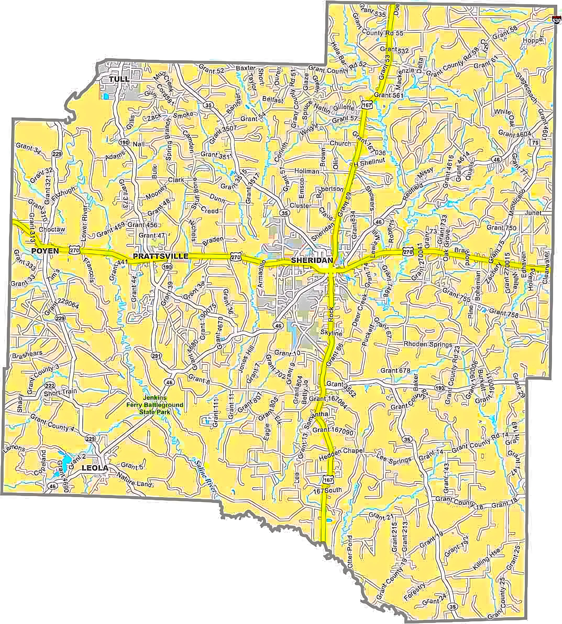
| 05-053 | Grant County | 99.8% | 0.2% | 632.9 |
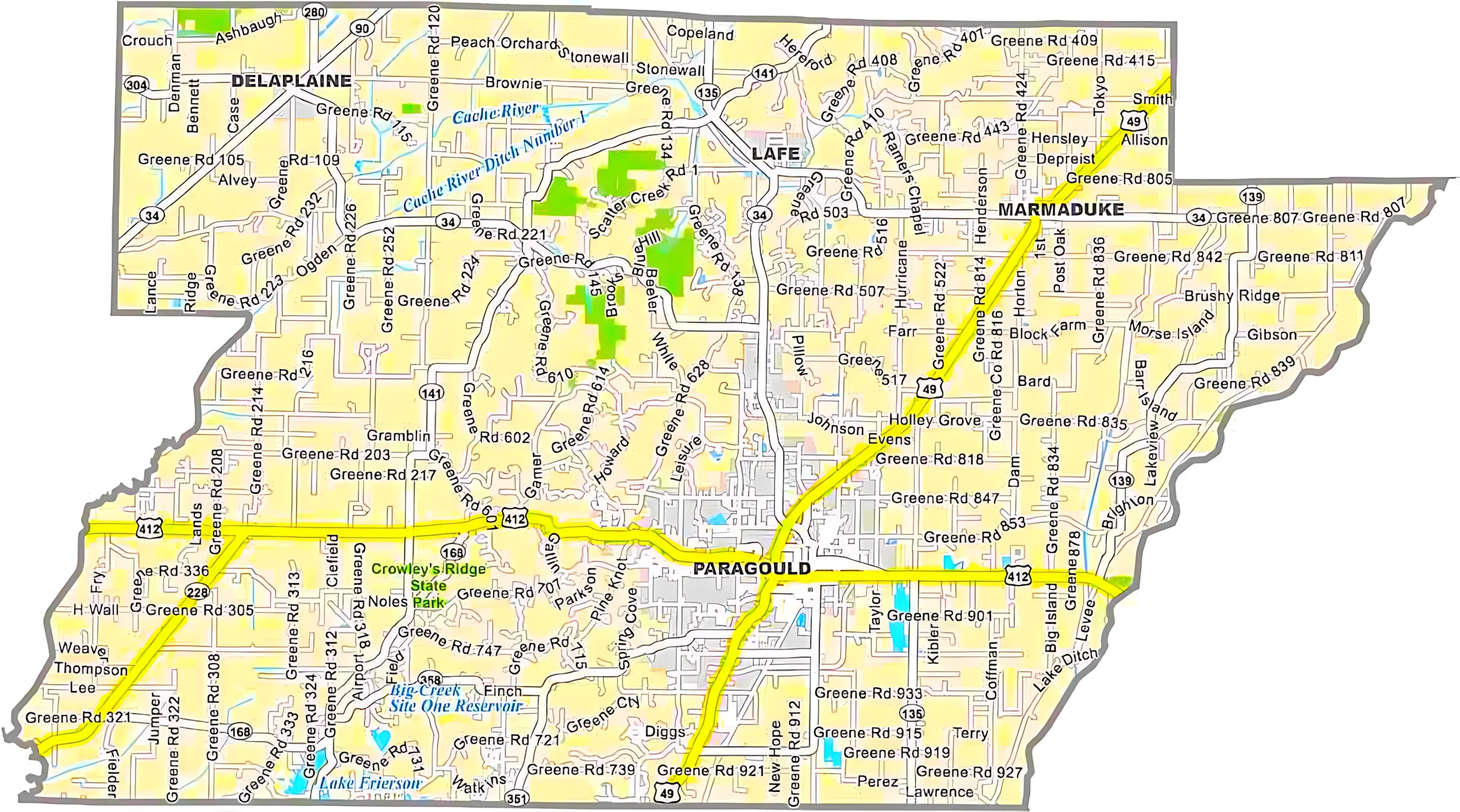
| 05-055 | Greene County | 99.7% | 0.3% | 579.5 |
| 05-057 | Hempstead County | 98.2% | 1.8% | 741.2 |
| 05-059 | Hot Spring County | 98.9% | 1.1% | 622.2 |
| 05-061 | Howard County | 98.9% | 1.1% | 595.3 |
| 05-063 | Independence County | 99.0% | 1.0% | 771.5 |
| 05-065 | Izard County | 99.4% | 0.6% | 584.0 |
| 05-067 | Jackson County | 98.8% | 1.2% | 641.5 |
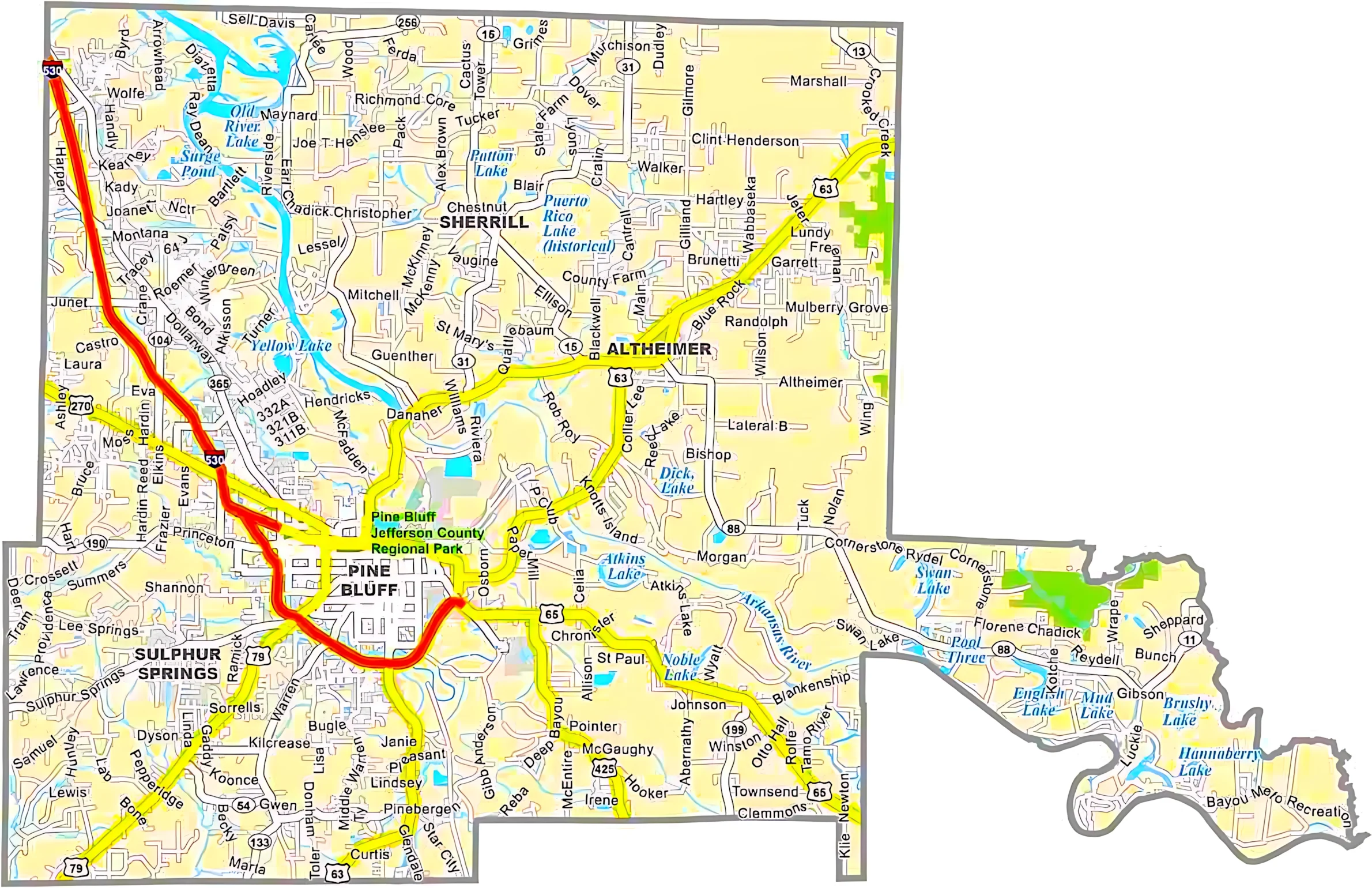
| 05-069 | Jefferson County | 95.2% | 4.8% | 913.8 |
| 05-071 | Johnson County | 96.7% | 3.3% | 682.7 |
| 05-073 | Lafayette County | 96.9% | 3.1% | 545.1 |
| 05-075 | Lawrence County | 99.2% | 0.8% | 592.3 |
| 05-077 | Lee County | 97.3% | 2.7% | 619.5 |
| 05-079 | Lincoln County | 98.1% | 1.9% | 572.2 |
| 05-081 | Little River County | 94.2% | 5.8% | 564.8 |
| 05-083 | Logan County | 96.8% | 3.2% | 731.5 |
| 05-085 | Lonoke County | 96.0% | 4.0% | 802.8 |
| 05-087 | Madison County | 99.7% | 0.3% | 837.1 |
| 05-089 | Marion County | 93.2% | 6.8% | 640.3 |
| 05-091 | Miller County | 98.1% | 1.9% | 637.6 |
| 05-093 | Mississippi County | 97.9% | 2.1% | 919.8 |
| 05-095 | Monroe County | 97.7% | 2.3% | 621.3 |
| 05-097 | Montgomery County | 97.4% | 2.6% | 800.3 |
| 05-099 | Nevada County | 99.5% | 0.5% | 620.6 |
| 05-101 | Newton County | 99.7% | 0.3% | 823.2 |
| 05-103 | Ouachita County | 99.1% | 0.9% | 739.7 |
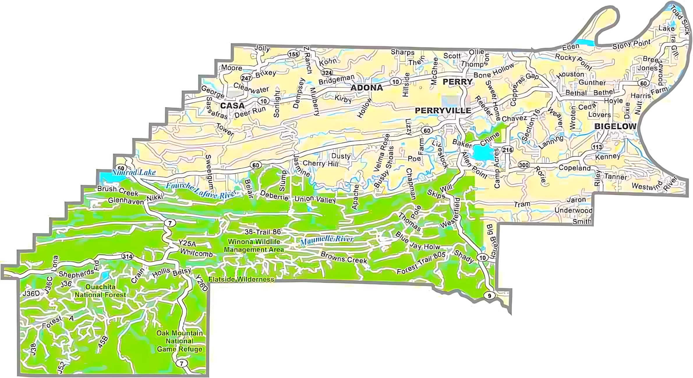
| 05-105 | Perry County | 98.4% | 1.6% | 560.5 |
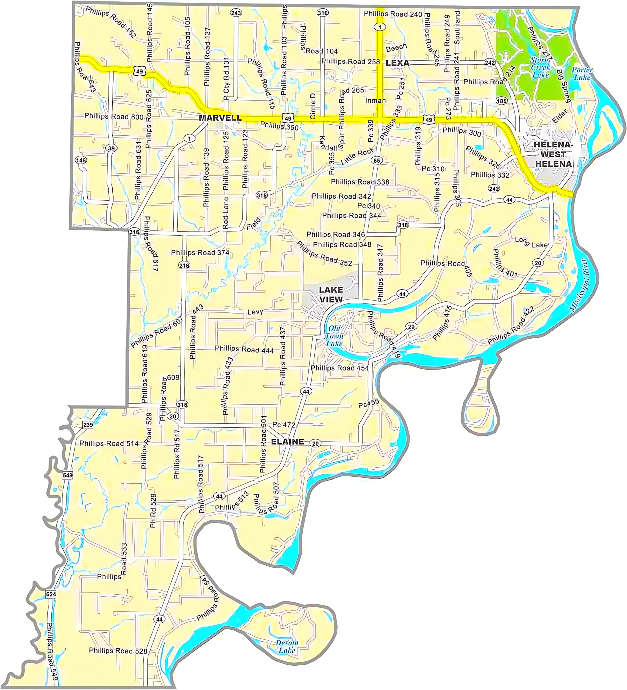
| 05-107 | Phillips County | 95.6% | 4.4% | 727.3 |
| 05-109 | Pike County | 97.8% | 2.2% | 614.1 |
| 05-111 | Poinsett County | 99.3% | 0.7% | 763.6 |
| 05-113 | Polk County | 99.4% | 0.6% | 862.5 |
| 05-115 | Pope County | 97.8% | 2.2% | 830.8 |
| 05-117 | Prairie County | 95.9% | 4.1% | 675.6 |
| 05-119 | Pulaski County | 94.0% | 6.0% | 807.7 |
| 05-121 | Randolph County | 99.4% | 0.6% | 656.0 |
| 05-123 | St. Francis County | 98.8% | 1.2% | 642.5 |
| 05-125 | Saline County | 99.0% | 1.0% | 730.5 |
| 05-127 | Scott County | 99.4% | 0.6% | 898.0 |
| 05-129 | Searcy County | 99.6% | 0.4% | 668.5 |
| 05-131 | Sebastian County | 97.2% | 2.8% | 547.2 |
| 05-133 | Sevier County | 97.2% | 2.8% | 581.3 |
| 05-135 | Sharp County | 99.7% | 0.3% | 606.4 |
| 05-137 | Stone County | 99.5% | 0.5% | 609.4 |
| 05-139 | Union County | 98.5% | 1.5% | 1,055.2 |
| 05-141 | Van Buren County | 98.0% | 2.0% | 724.3 |
| 05-143 | Washington County | 98.9% | 1.1% | 952.4 |
| 05-145 | White County | 99.3% | 0.7% | 1,042.1 |
| 05-147 | Woodruff County | 98.8% | 1.2% | 594.0 |
| 05-149 | Yell County | 98.0% | 2.0% | 948.9 |