
Explore the Connecticut County Map and view all 8 counties at a glance. Find county names, boundaries, major cities, county seats, population data, and detailed geographic information for Connecticut.
All Connecticut Counties: Names, Map & County Information
Explore all 8 counties in Connecticut with a detailed county list, map, county seats, and key information. Find every Connecticut county in one place here.
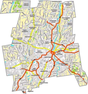
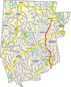
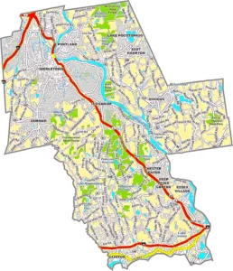
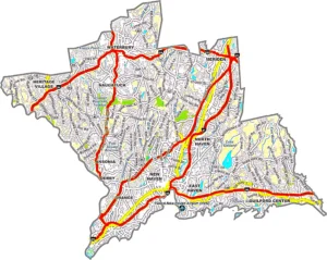
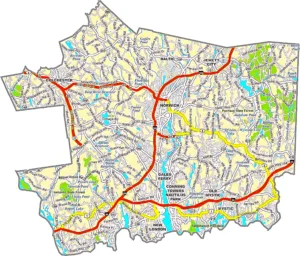
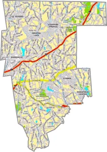
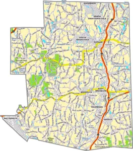
Connecticut County Map Overview
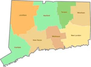
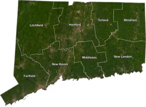
The Connecticut County Map provides a detailed view of the state's eight historical counties, helping users understand Connecticut's geographic layout, regional divisions, and major communities. Although county governments were officially abolished in 1960, the county boundaries continue to play an important role in mapping, historical records, census data, real estate, genealogy, education, and Geographic Information Systems (GIS). Today, Connecticut is divided into nine Planning Regions for administrative purposes, but the traditional county names remain widely recognized and commonly used.
Connecticut is located in the New England region of the northeastern United States and is bordered by Massachusetts to the north, Rhode Island to the east, New York to the west, and Long Island Sound to the south. Despite being the third-smallest U.S. state by land area, Connecticut has a dense population and a rich history dating back to the colonial era. Its counties include Fairfield, Hartford, Litchfield, Middlesex, New Haven, New London, Tolland, and Windham.
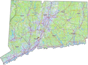
A Connecticut County Map is useful for students, researchers, travelers, businesses, and GIS professionals who need to identify county boundaries, locate major cities, analyze regional demographics, or plan travel routes. It also highlights important transportation networks, rivers, parks, and neighboring states, making it an excellent educational and planning resource. Whether you're exploring Connecticut's historic towns, conducting geographic research, or creating mapping projects, a county map offers valuable insight into the state's regional organization and historical significance.
Connecticut at a Glance
Interesting Facts About Connecticut Counties
Connecticut County Map FAQ
How many counties are in Connecticut?
Connecticut has 8 historical counties.
Does Connecticut still have county governments?
No. County governments were abolished in 1960, and local government functions are handled by cities and towns.
What replaced counties in Connecticut?
The state now uses 9 Planning Regions for many administrative and statistical purposes.
Why are Connecticut counties still shown on maps?
County boundaries remain important for geography, genealogy, real estate, historical records, tourism, and GIS applications.
Which is the largest county in Connecticut?
Litchfield County is the largest by land area.
Which is the most populous county?
Fairfield County has the largest population.
What is the capital county of Connecticut?
Hartford, the state capital, is located in Hartford County.
Are Connecticut county maps useful today?
Yes. They are widely used for education, navigation, historical research, demographics, emergency planning, and GIS analysis.
Conclusion
Although Connecticut no longer operates county governments, its 8 historical counties remain an essential part of the state's geography and identity. A Connecticut County Map is a valuable resource for students, travelers, researchers, historians, and GIS professionals who want to explore county boundaries, major cities, and regional characteristics. Whether you're studying Connecticut's colonial heritage, planning a trip, or working with geographic data, understanding the state's counties provides valuable insight into one of New England's most historic states.