
Explore the Colorado County Map and view all 64 counties at a glance. Find county names, boundaries, major cities, county seats, population data, and detailed geographic information for Colorado.



All Colorado Counties: Names, Map & County Information
Explore all 64 counties in Colorado with a detailed county list, map, county seats, and key information. Find every Colorado county in one place here.
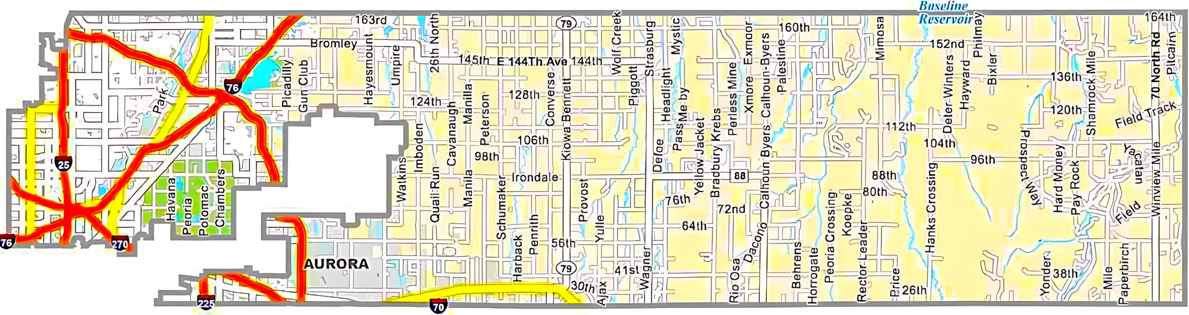
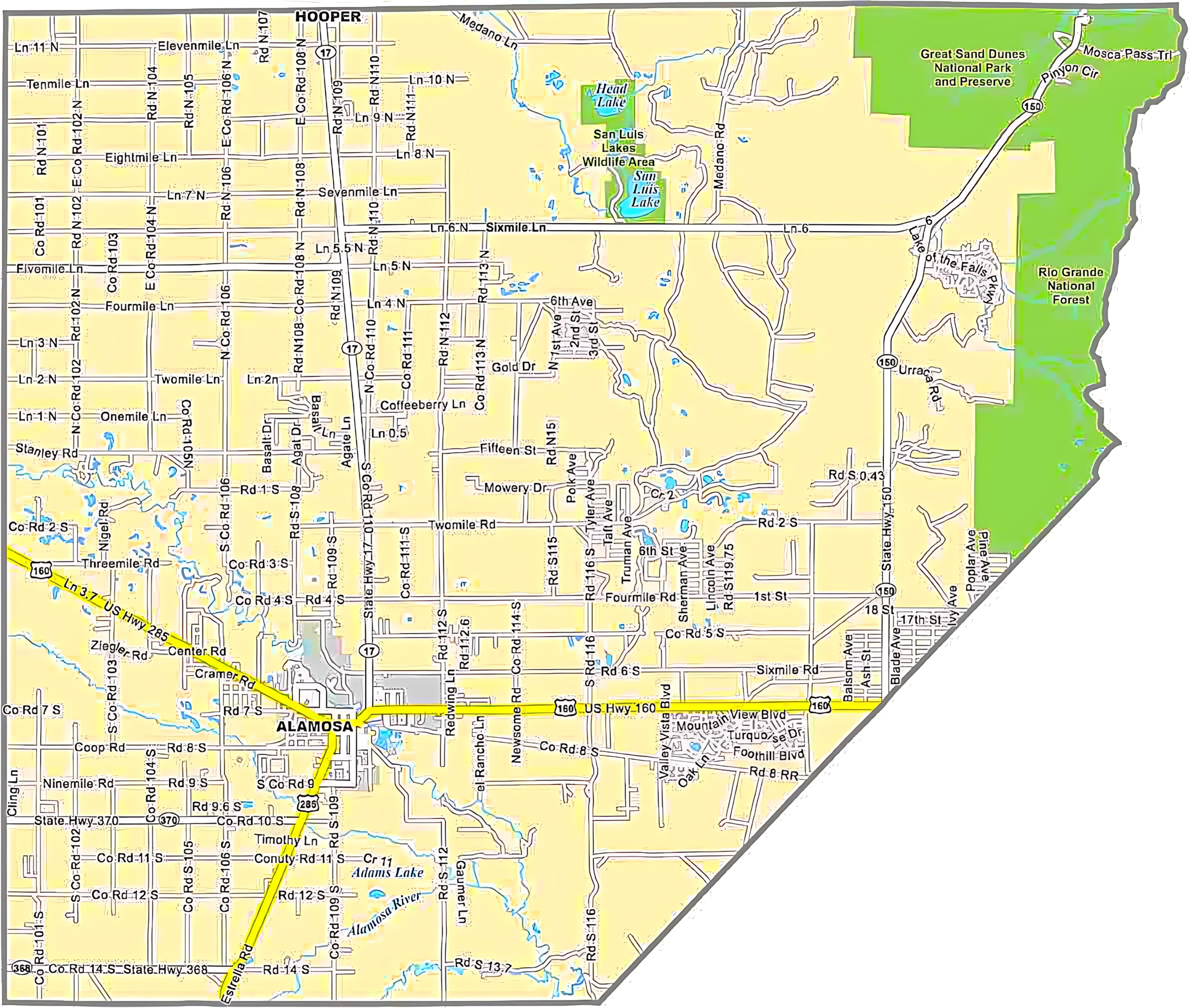


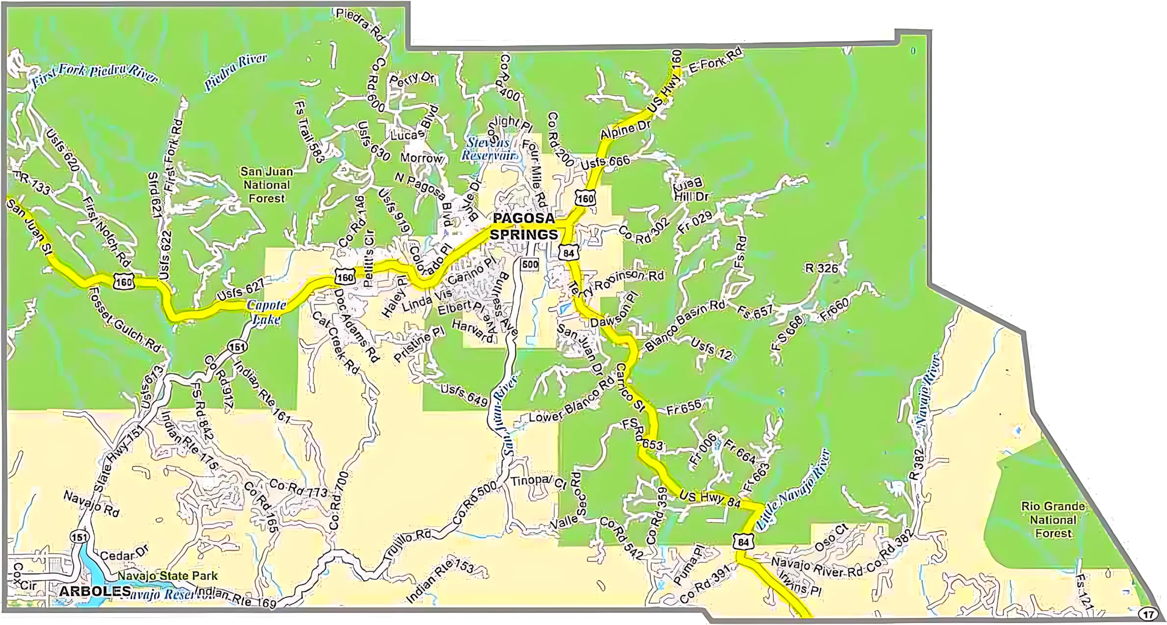
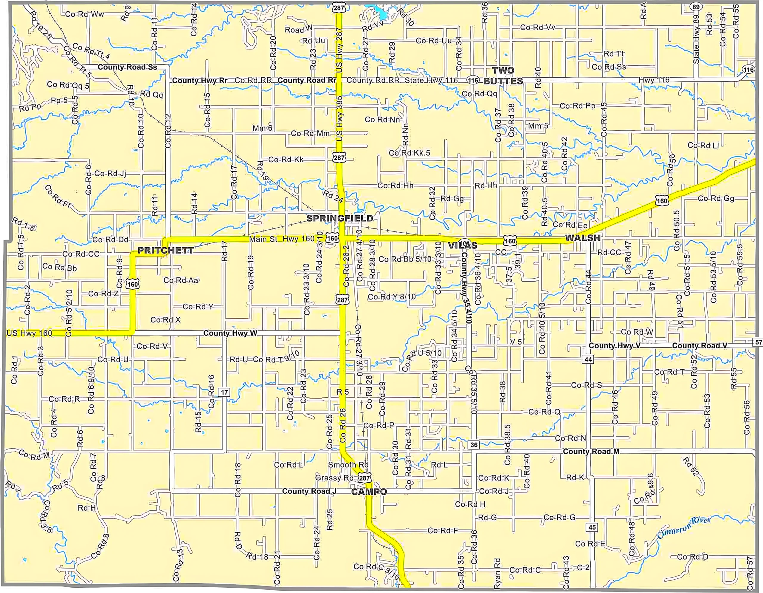
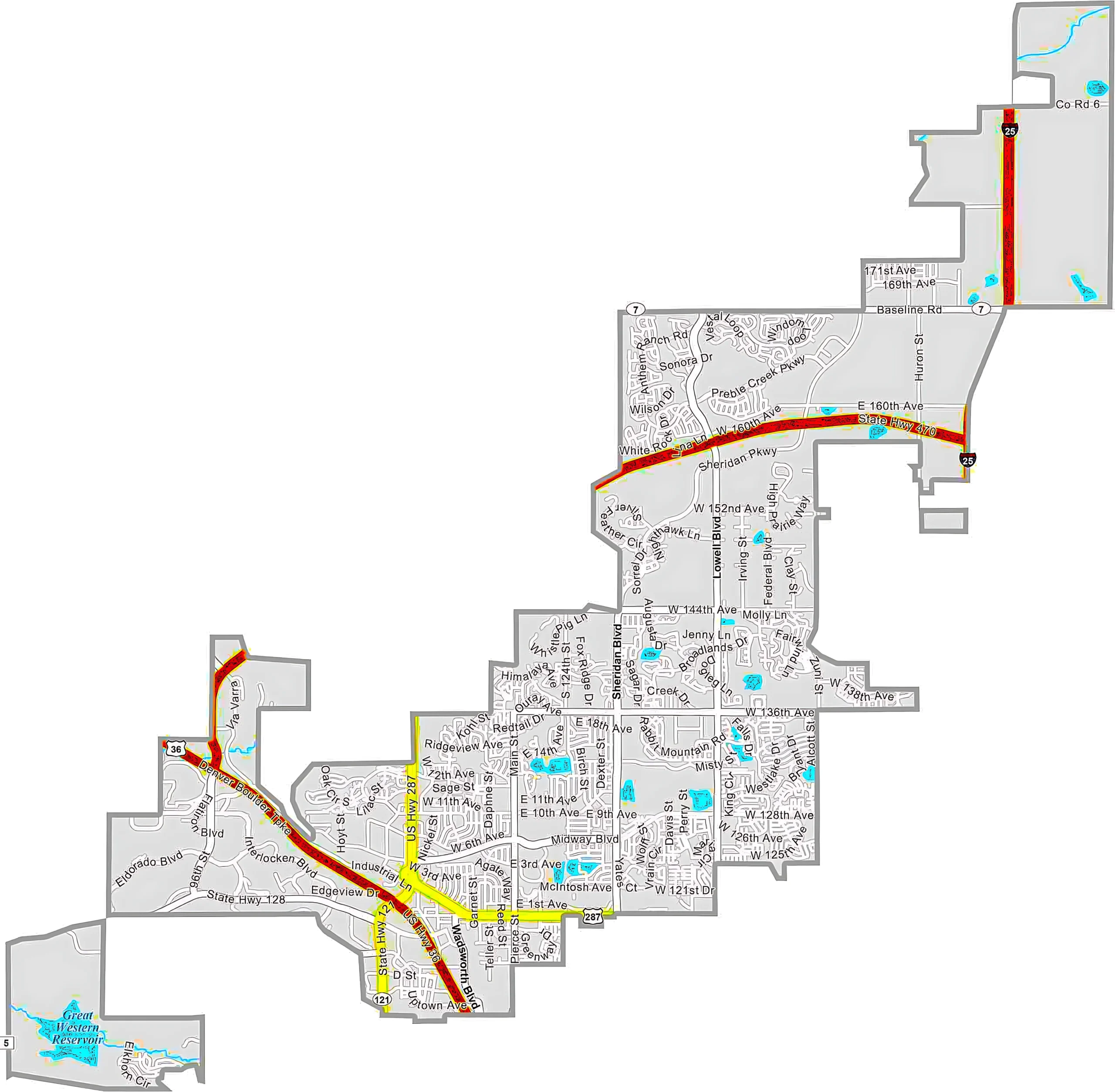
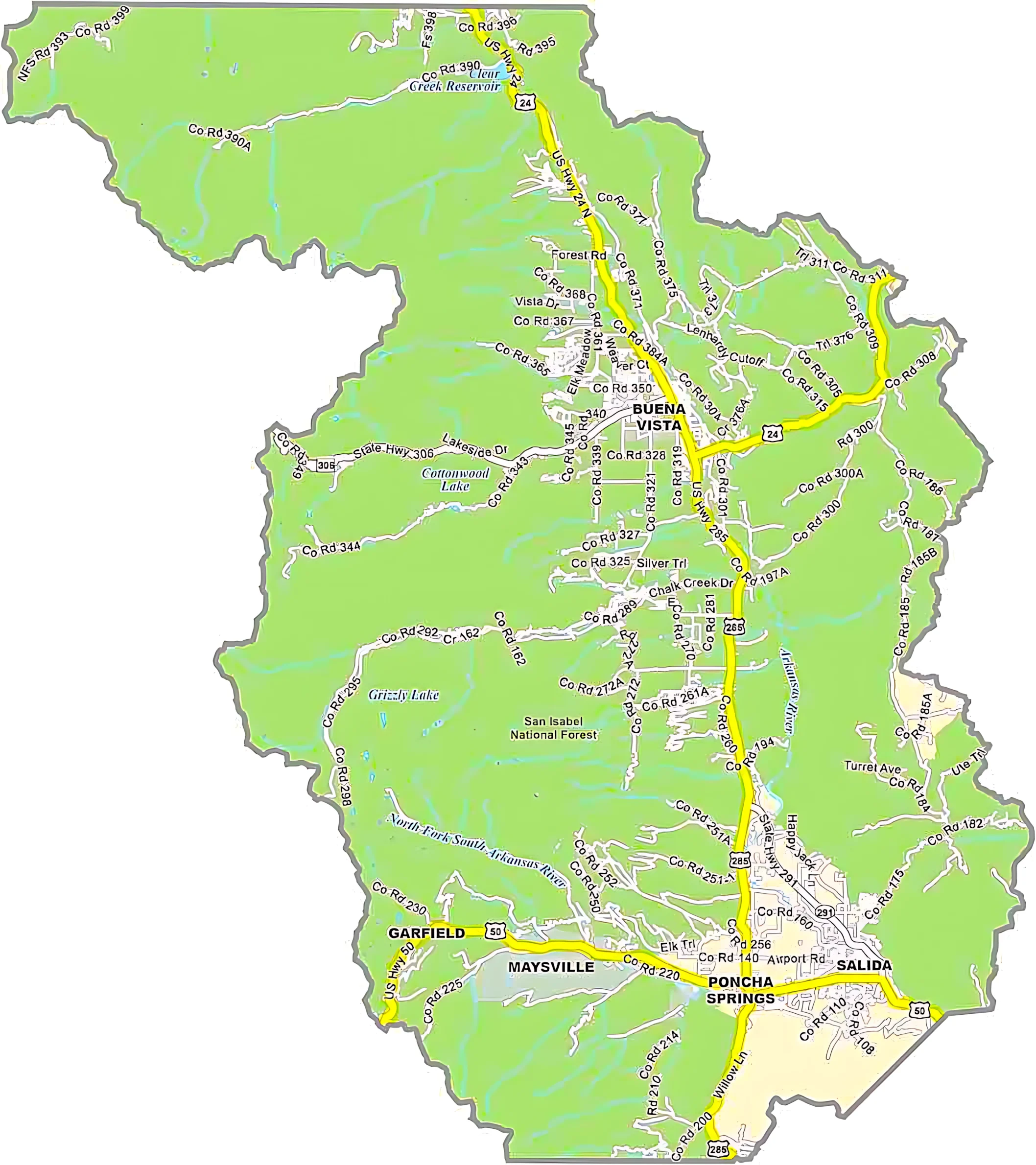
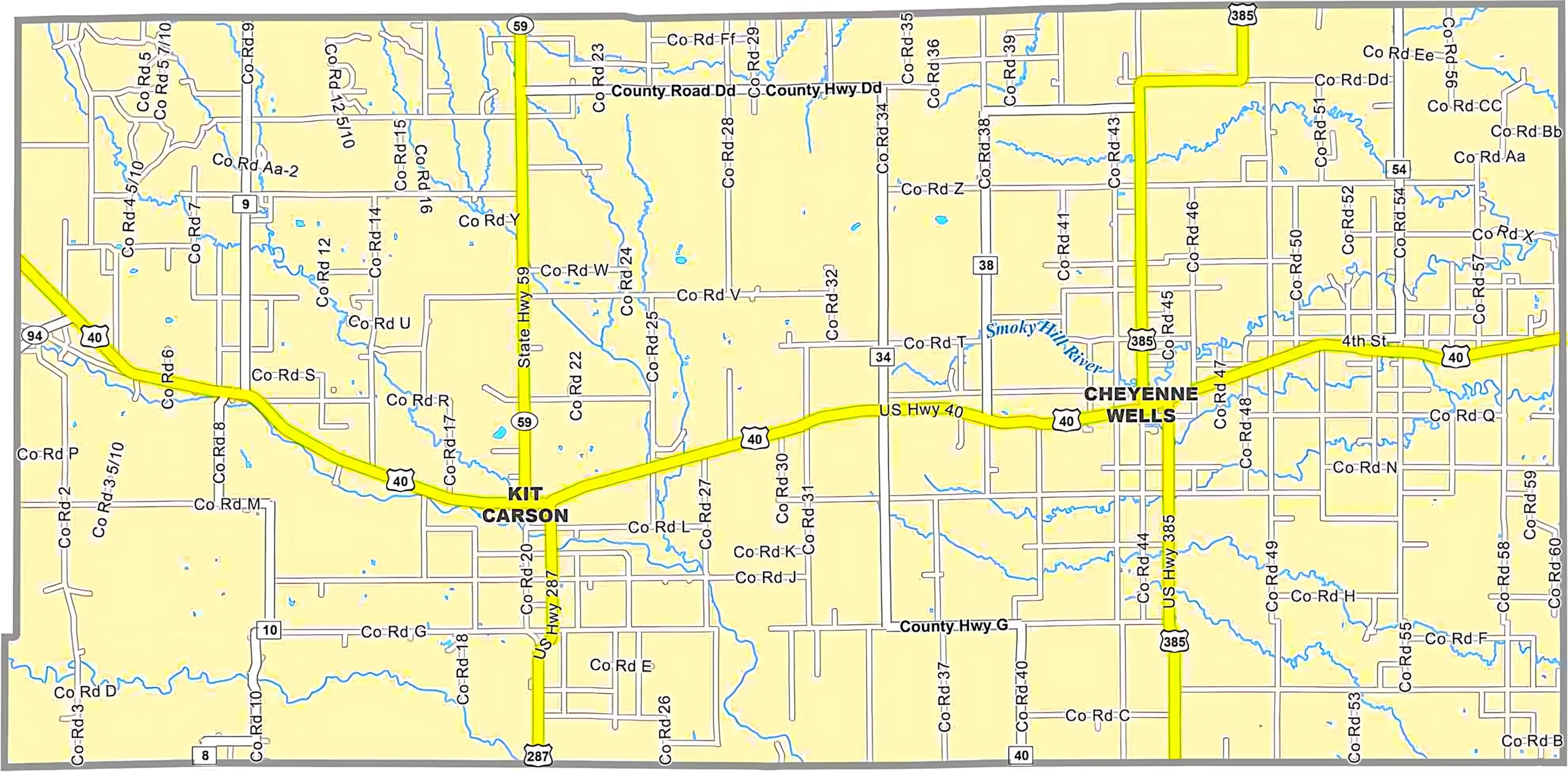
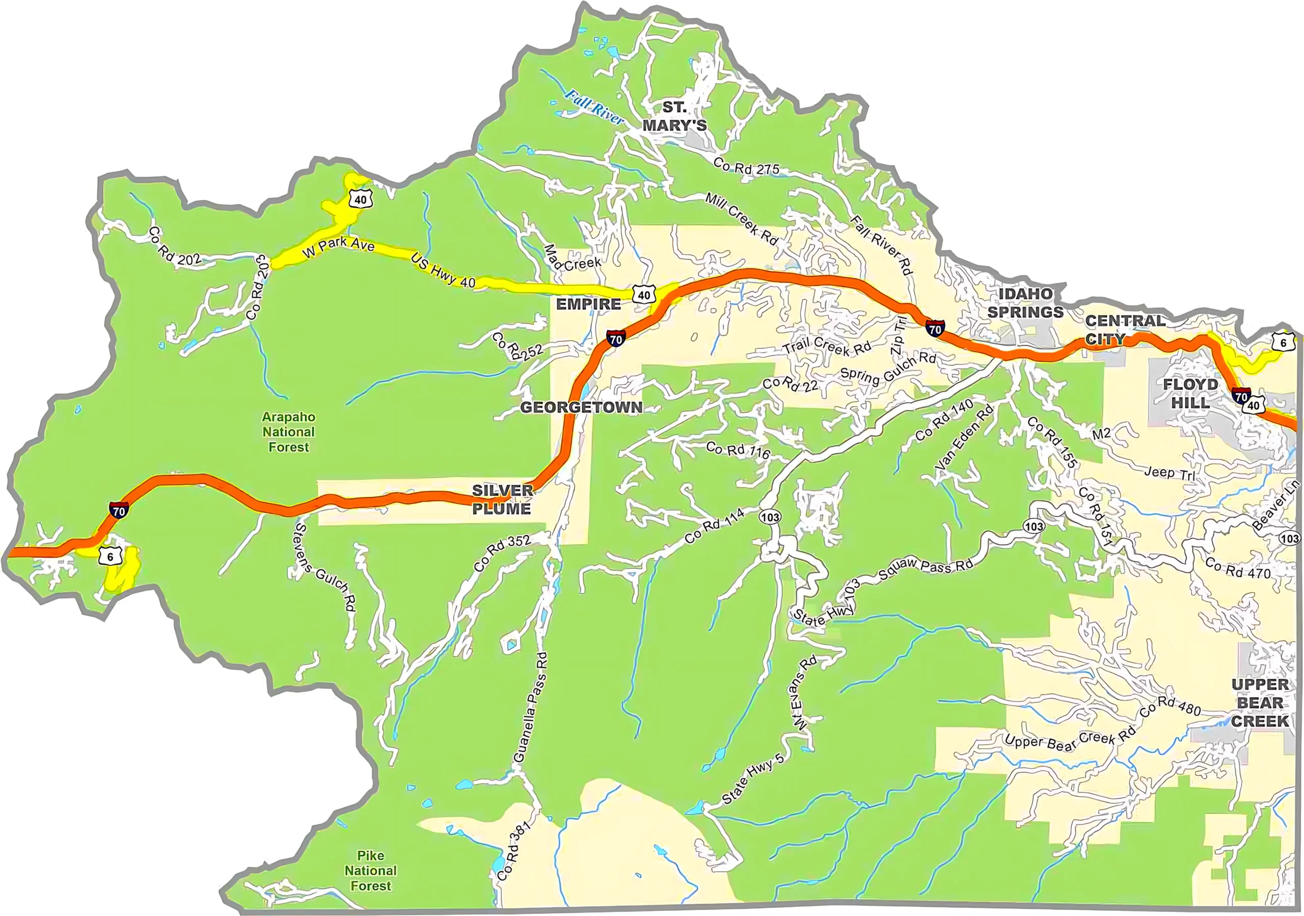
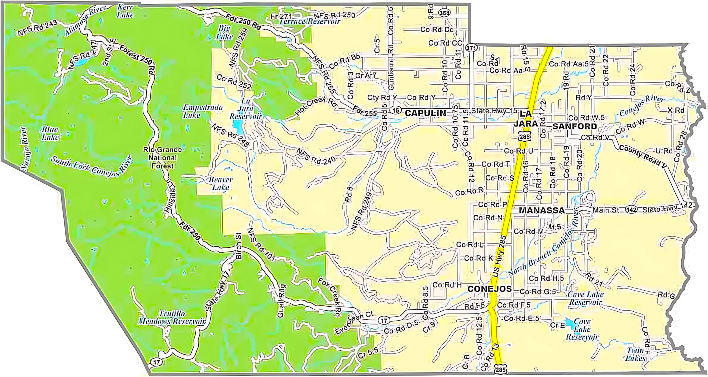
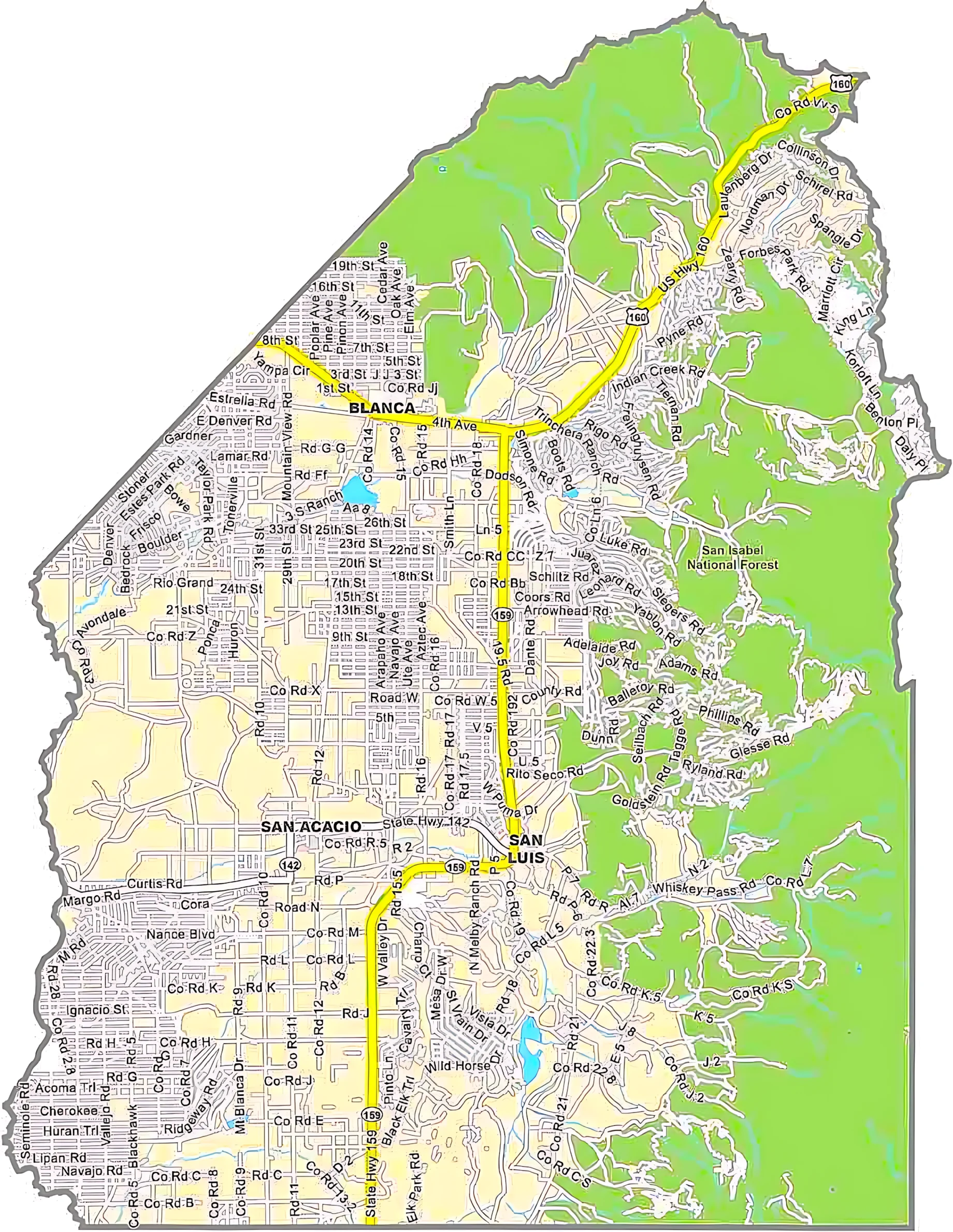
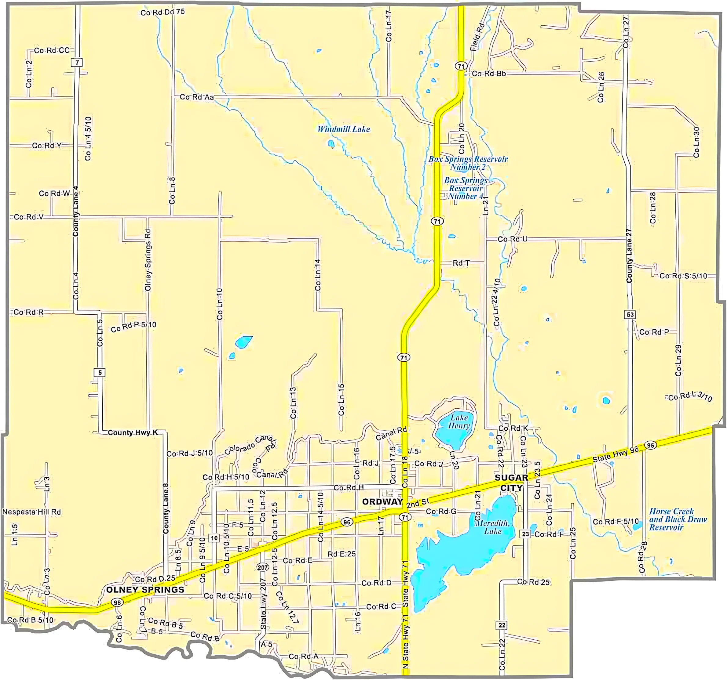
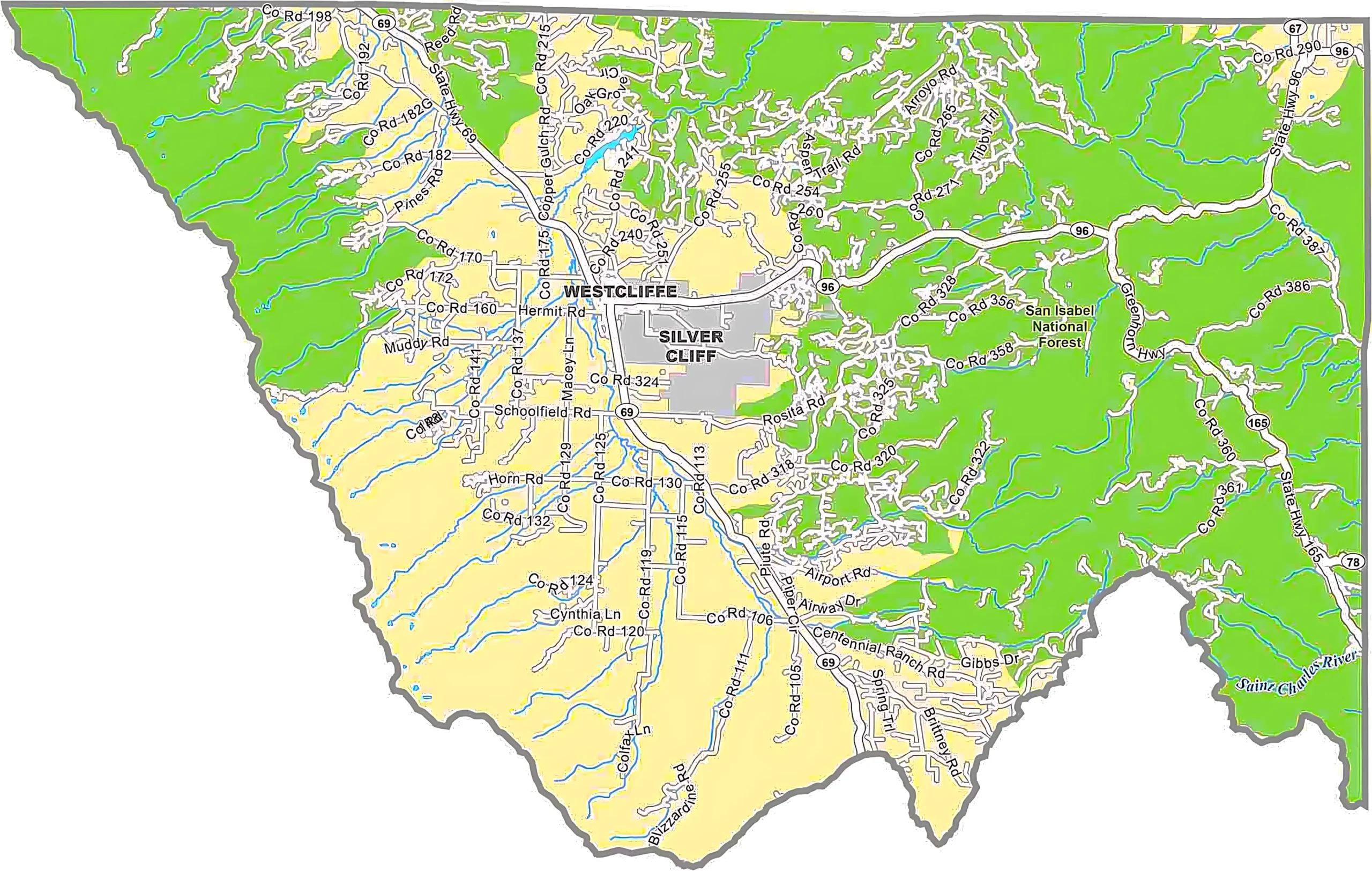
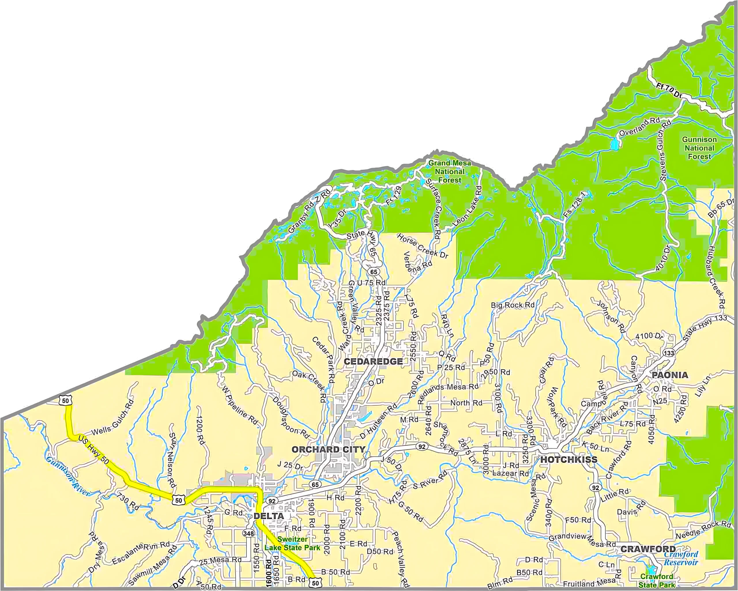
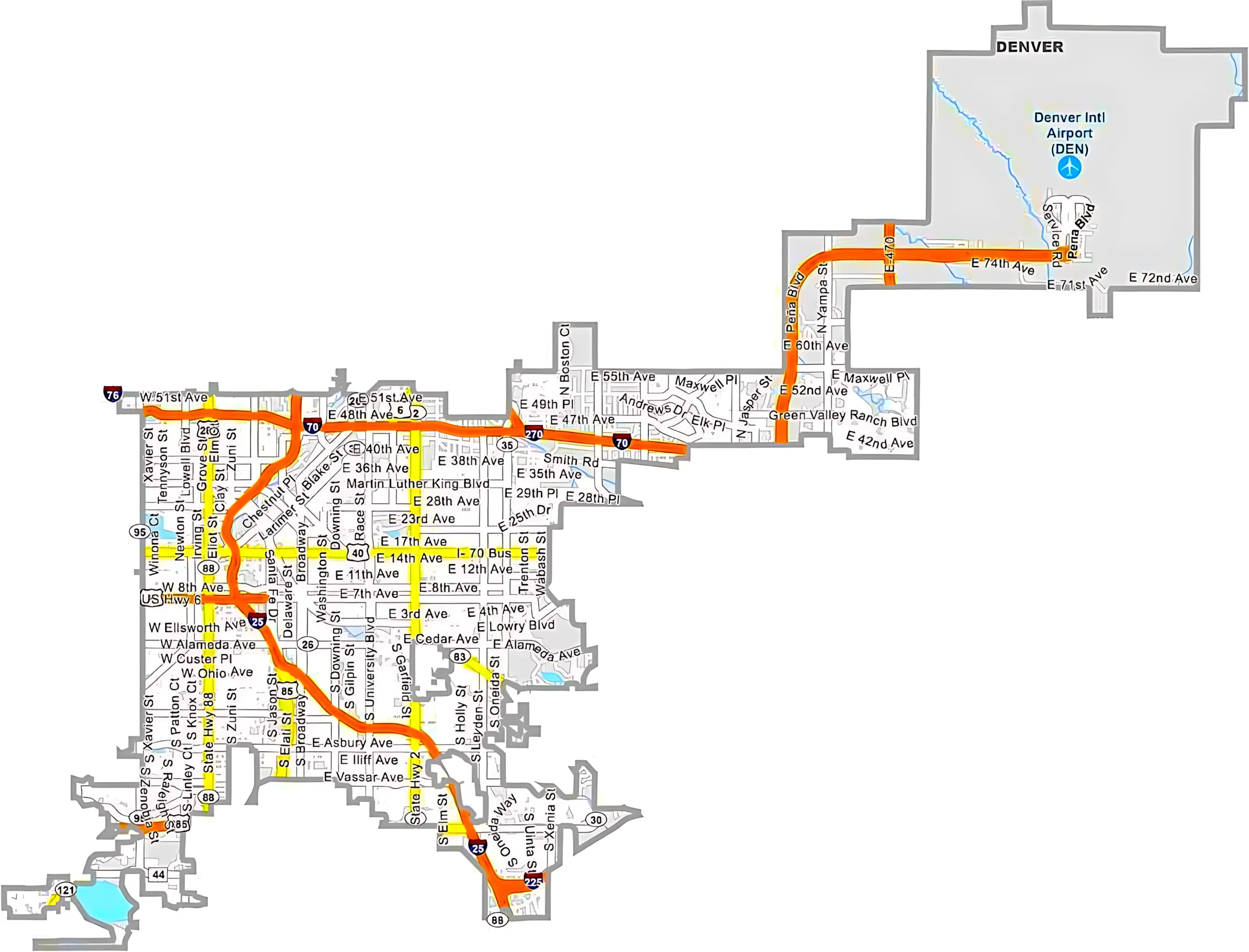
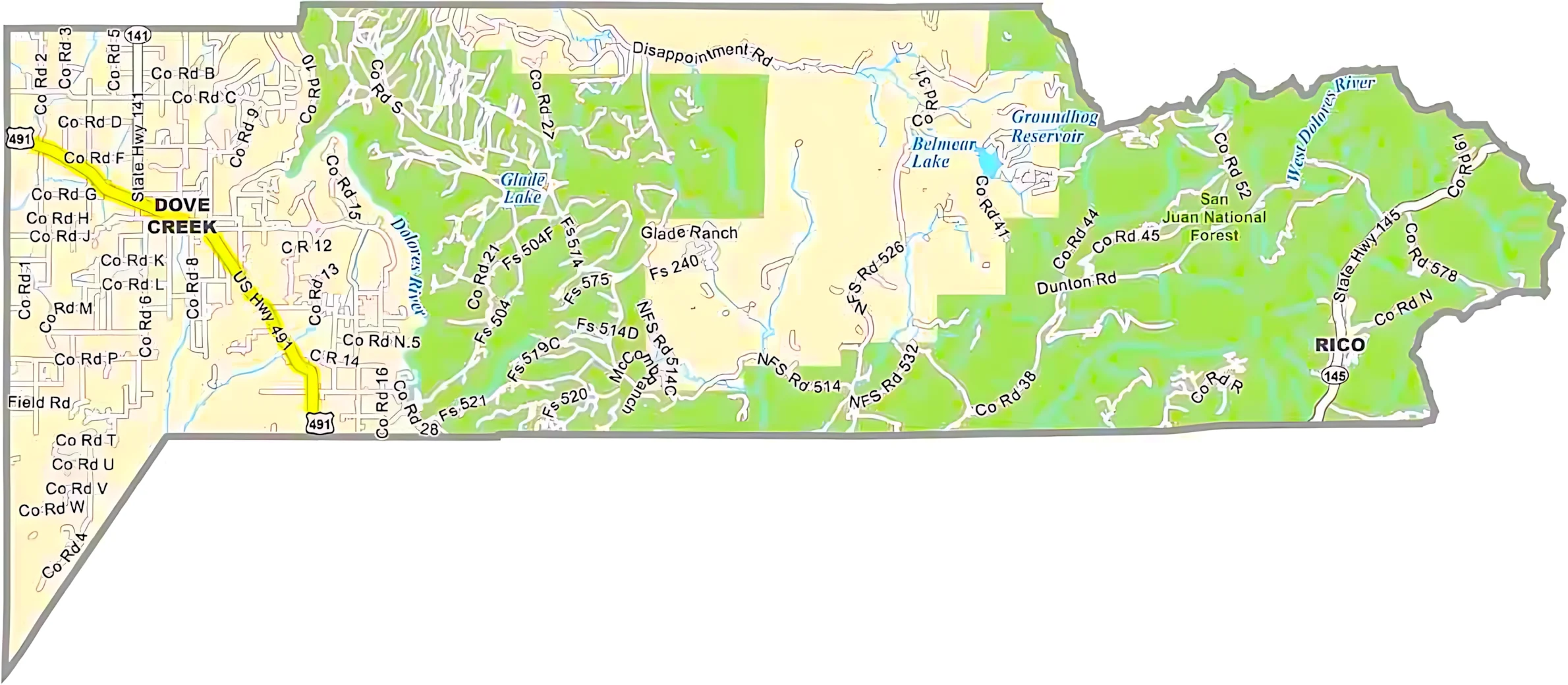
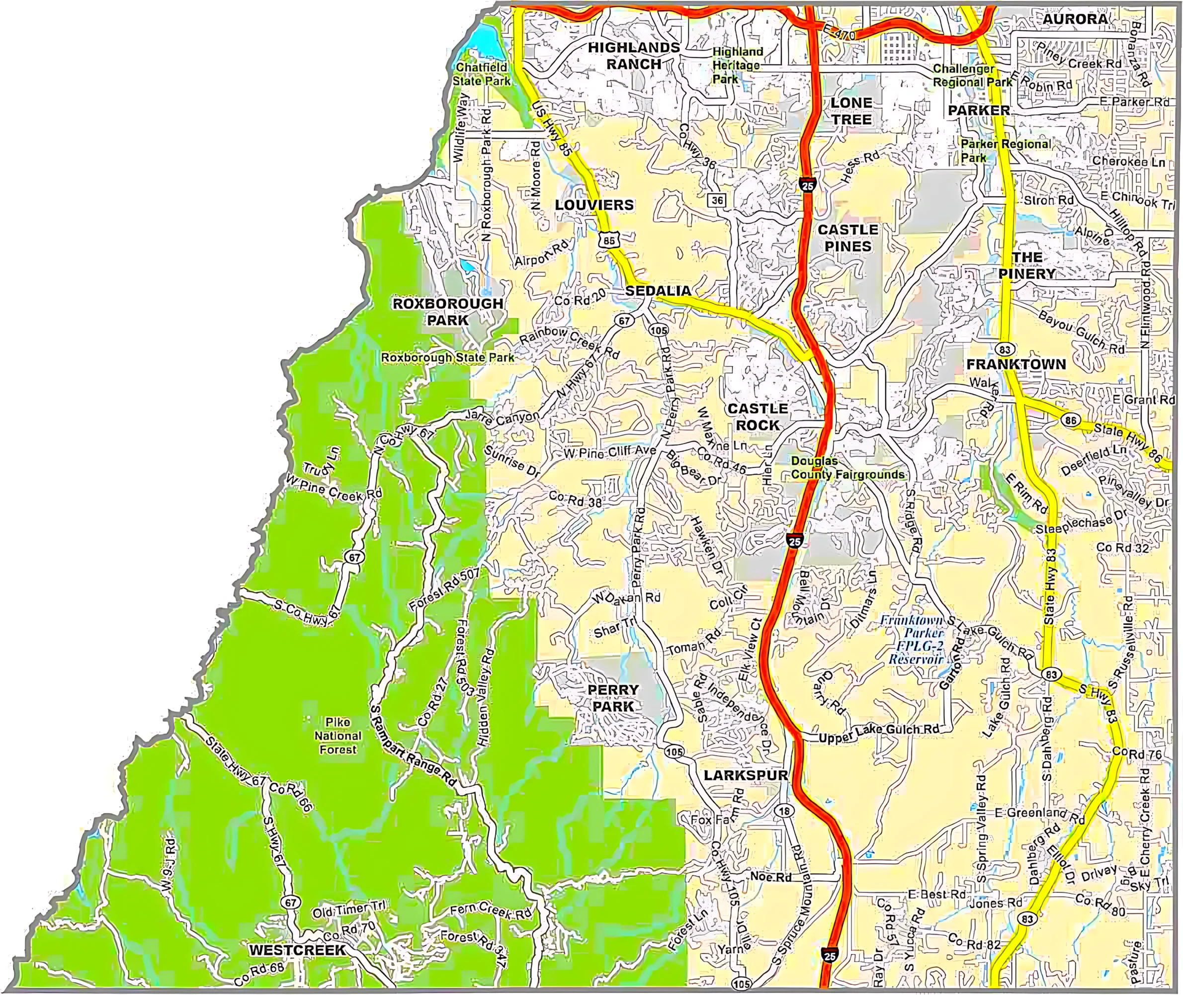
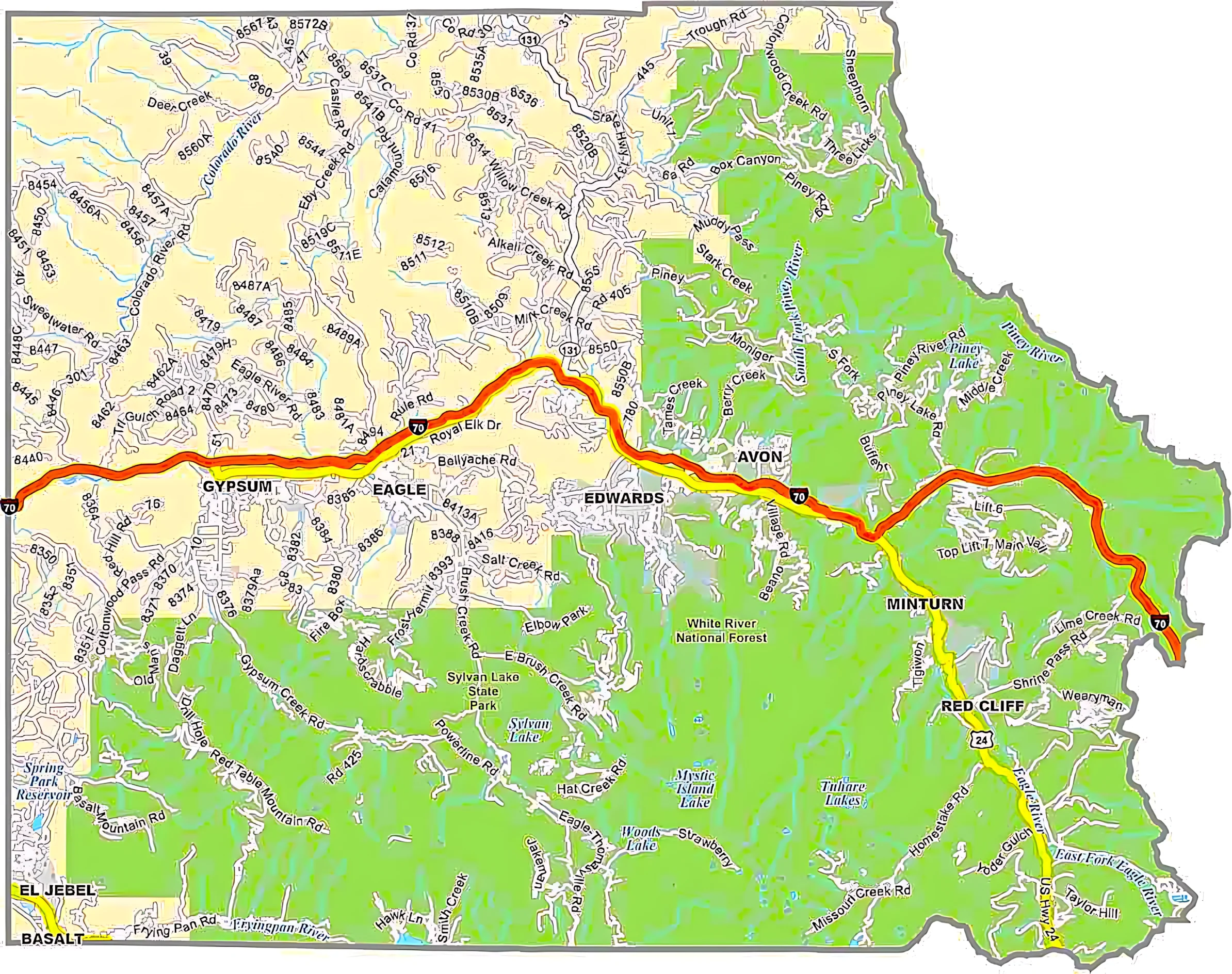
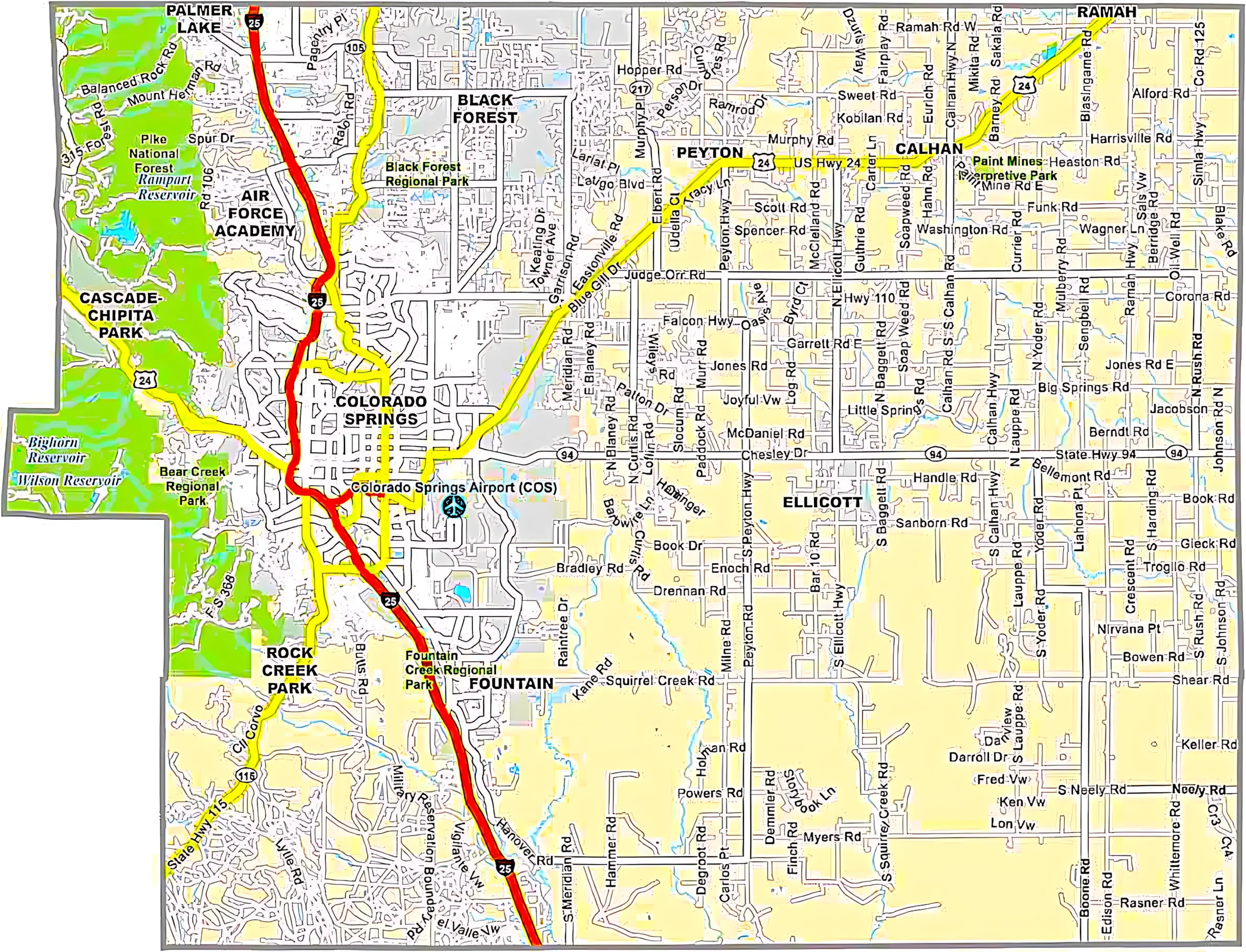
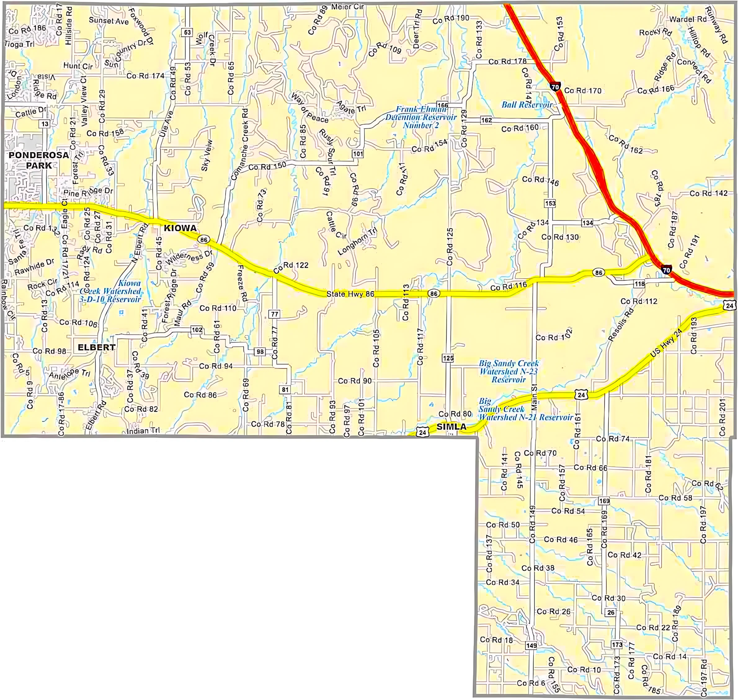
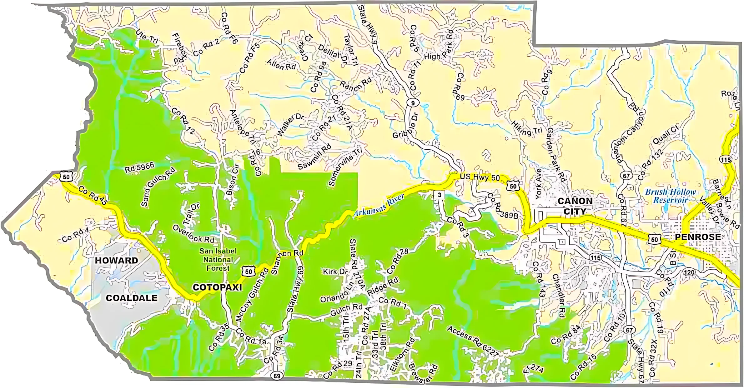
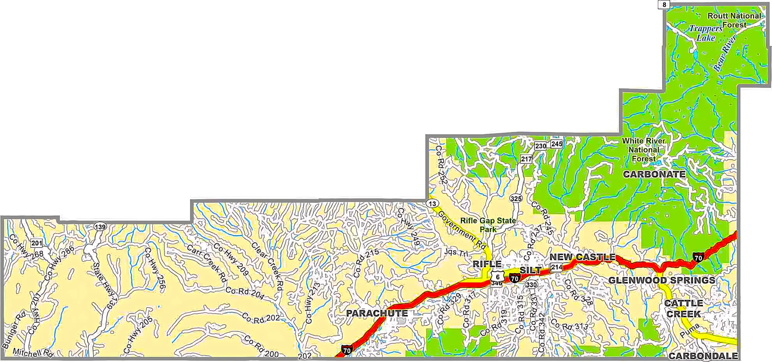
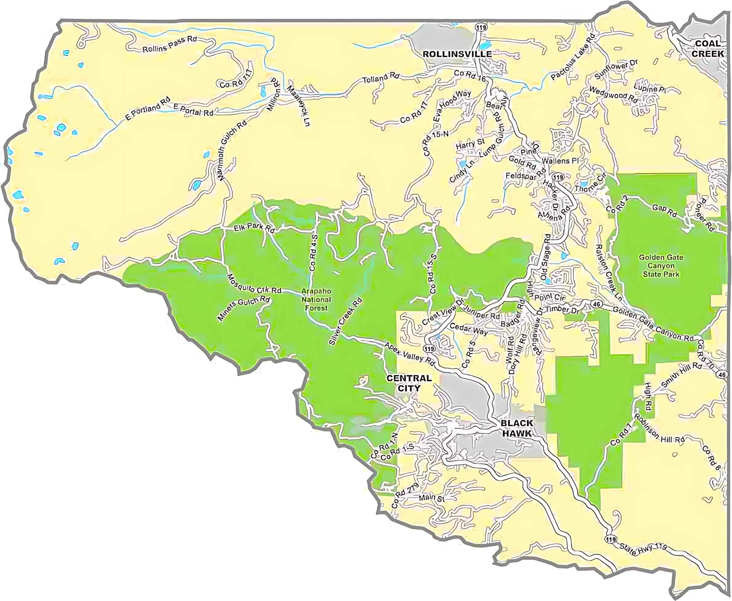
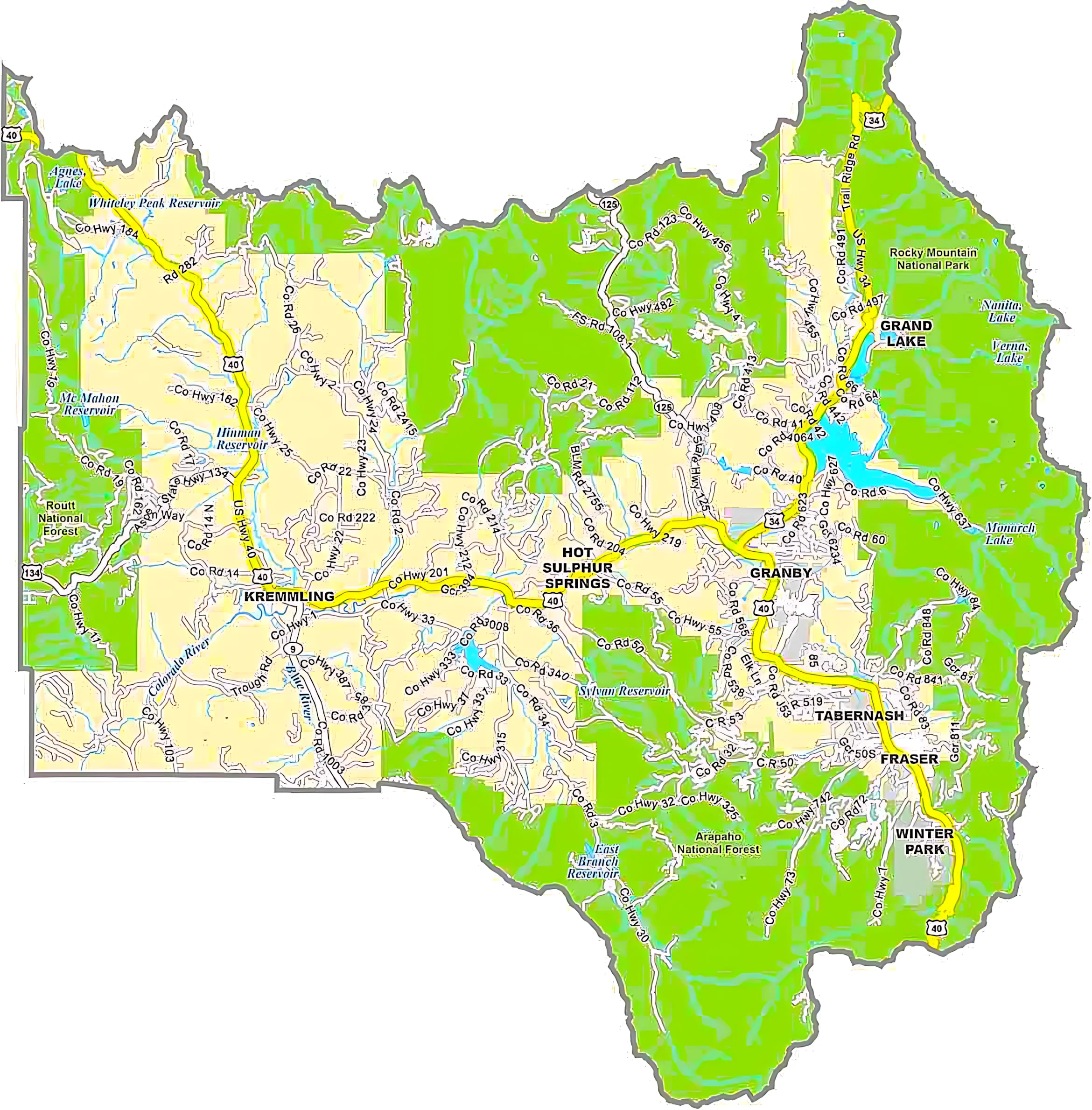
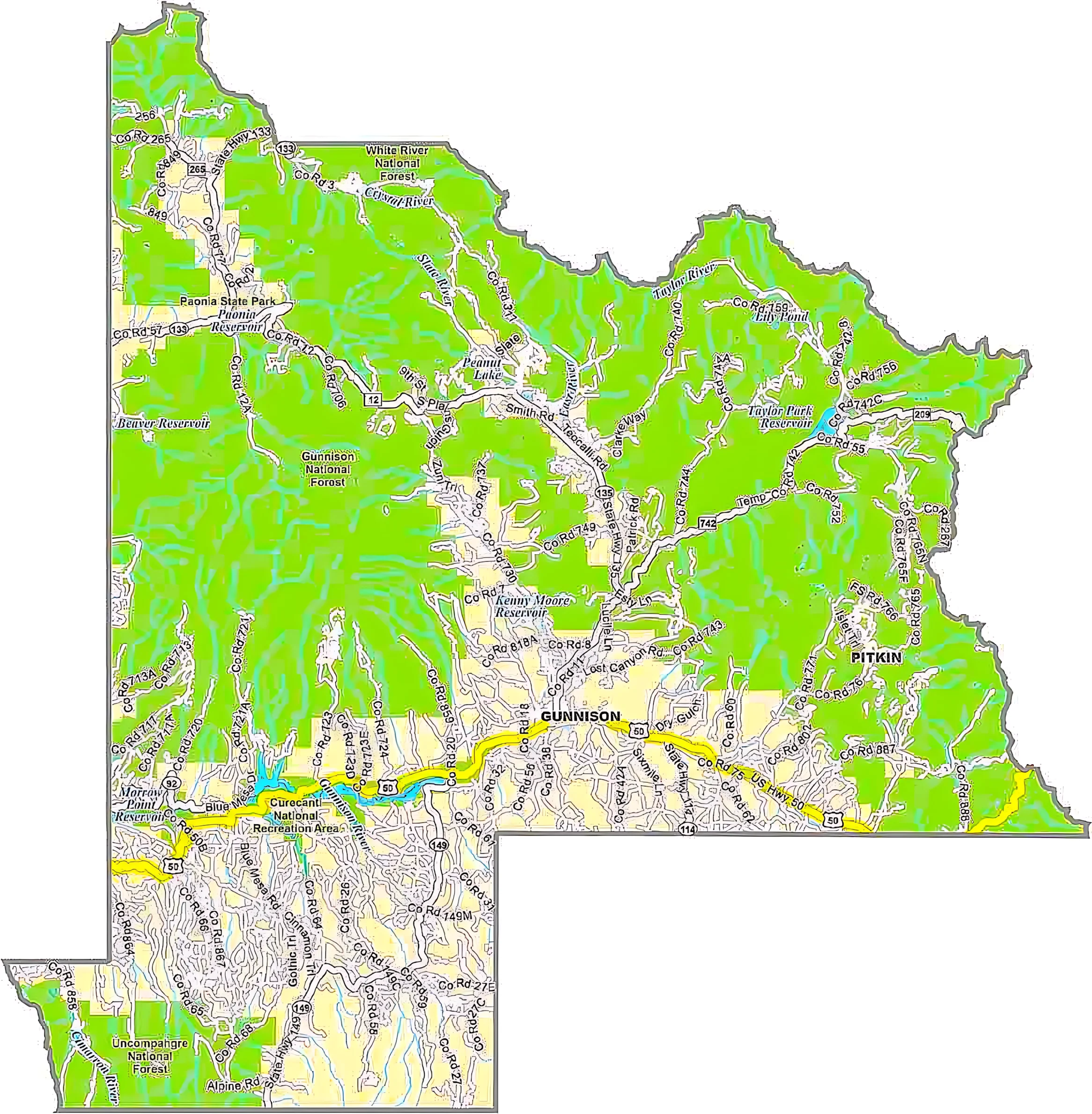
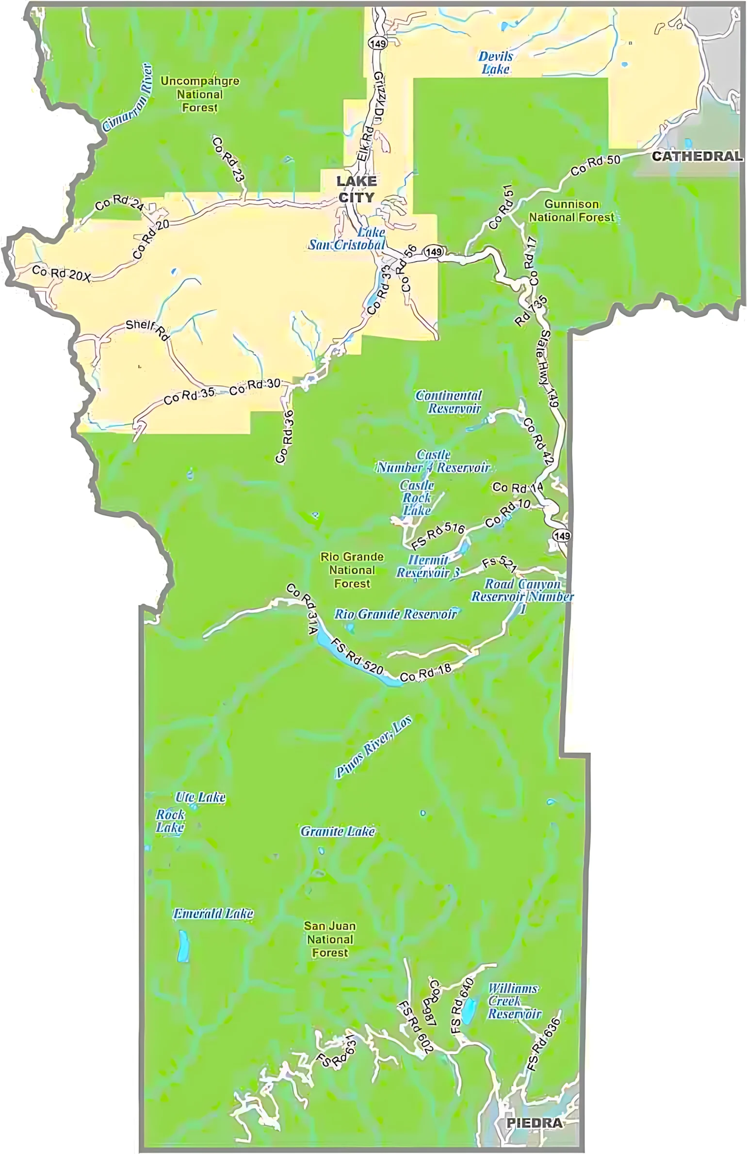
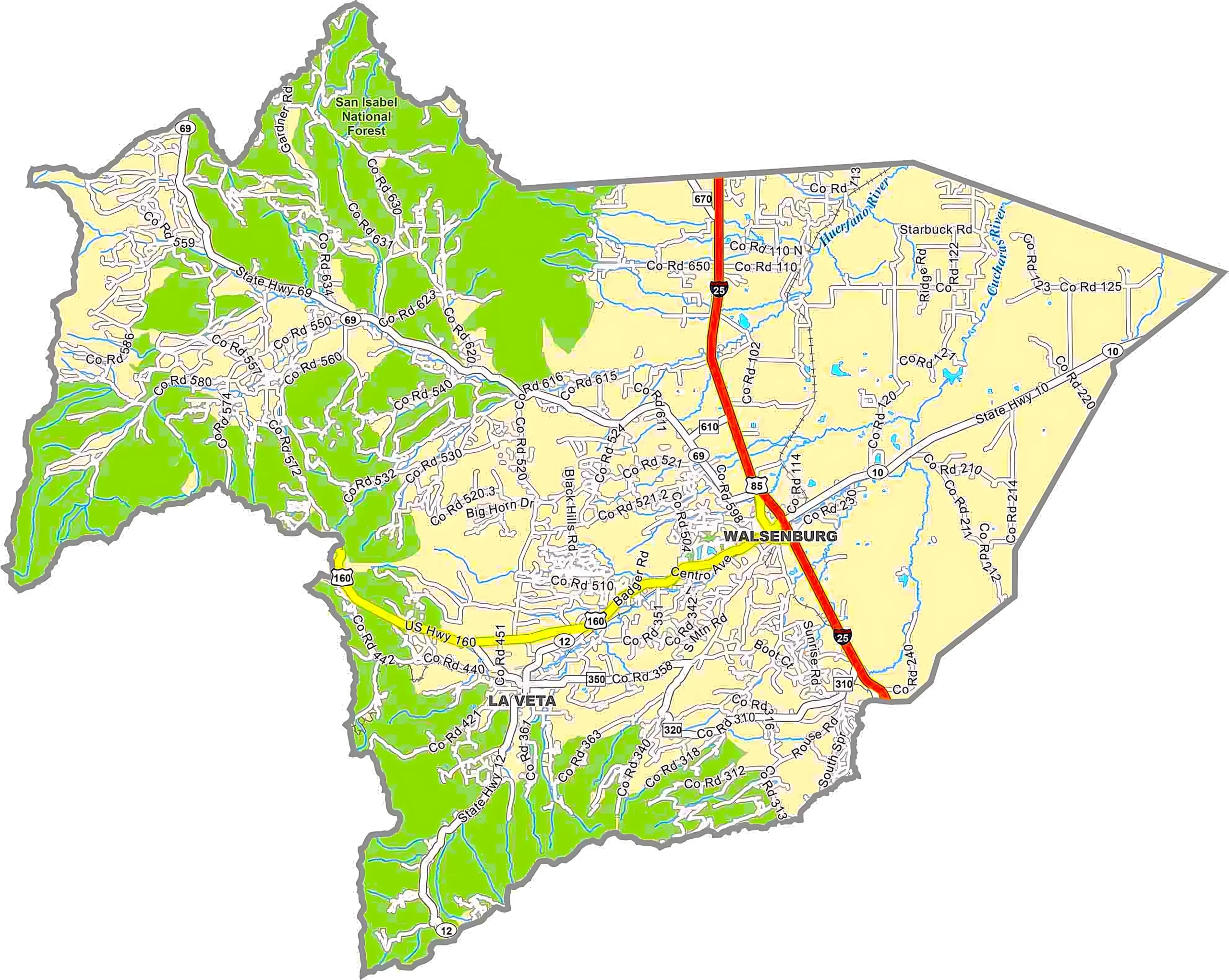
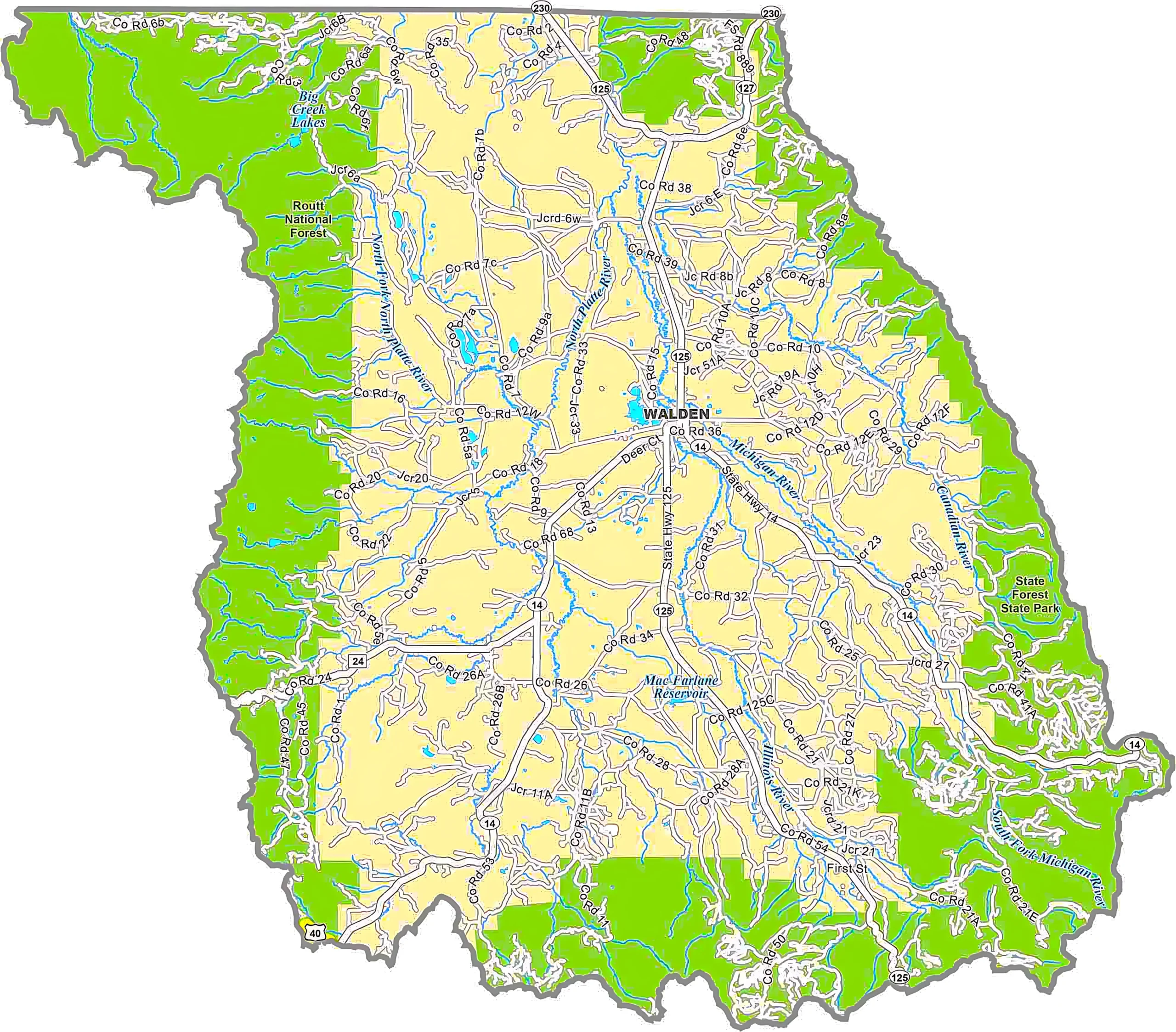
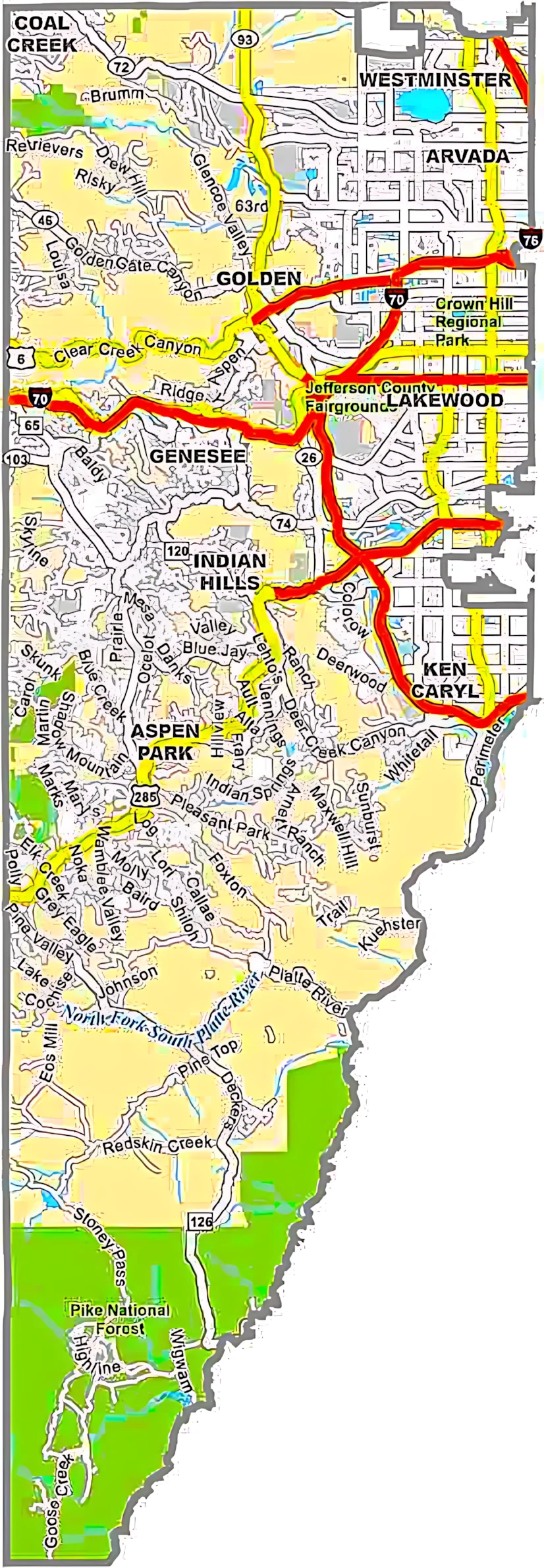
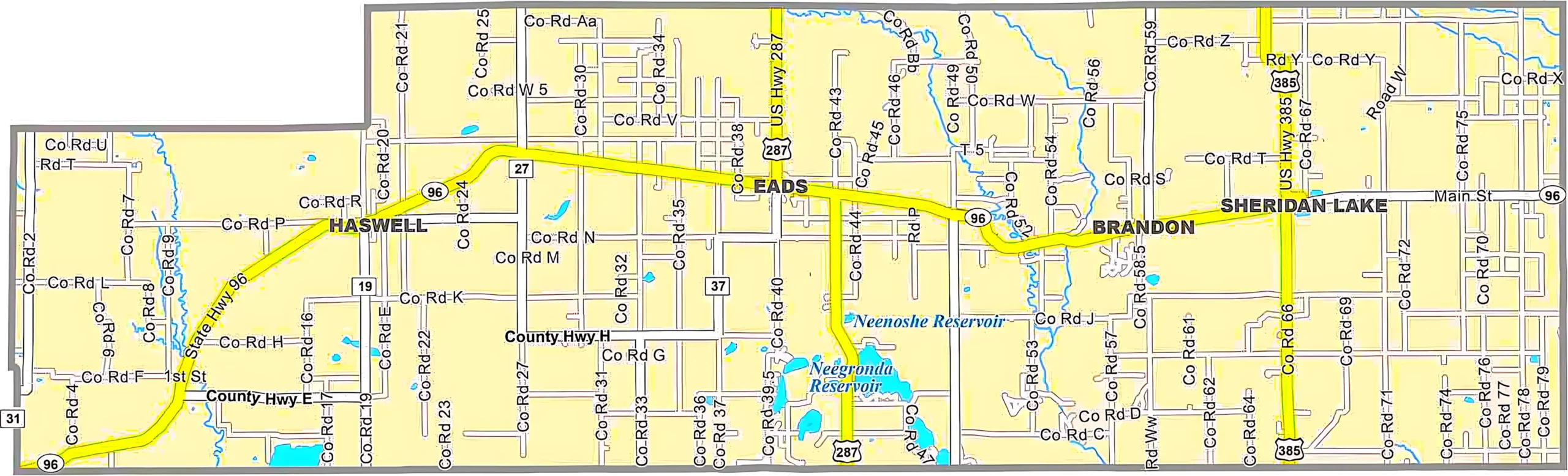
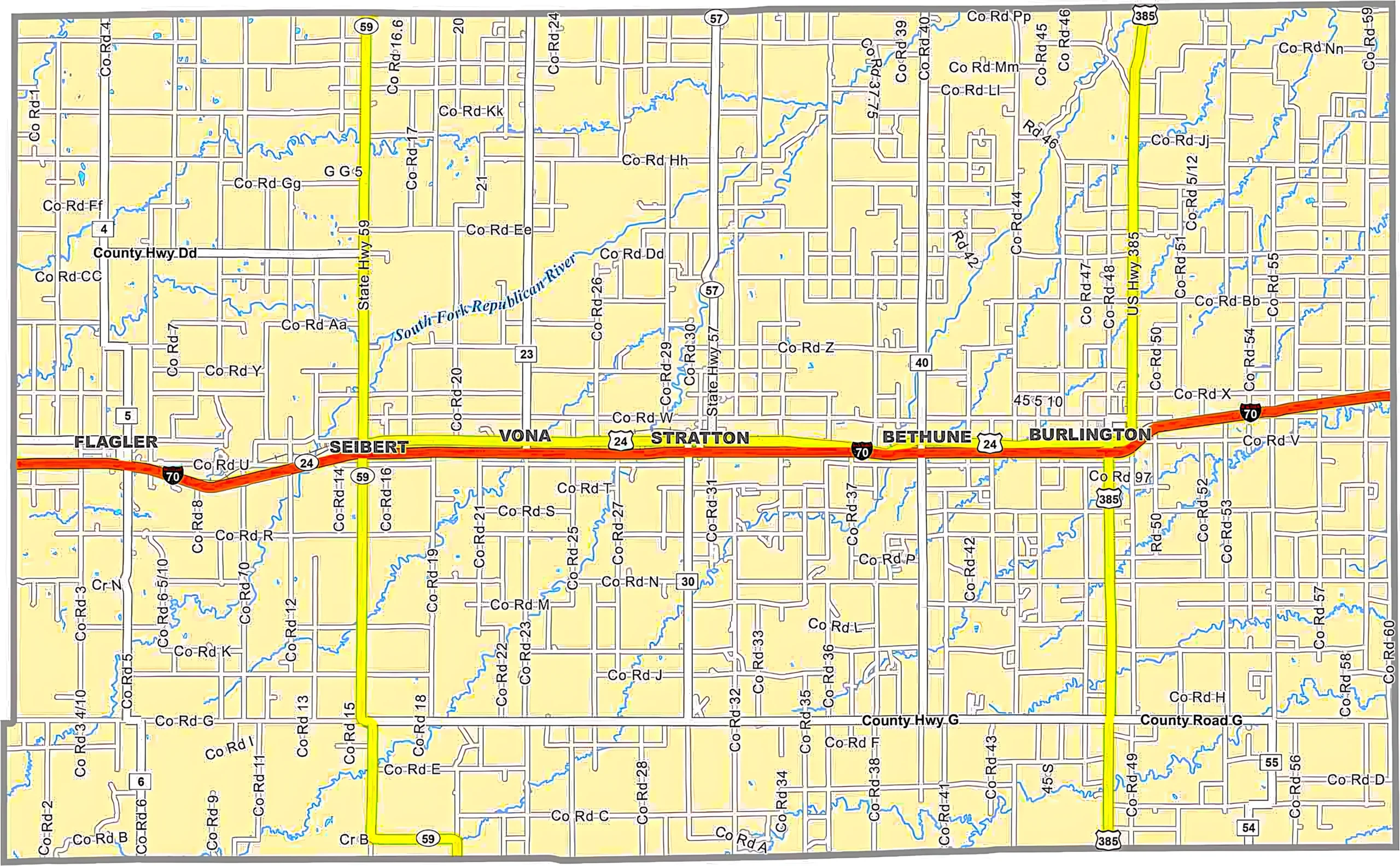
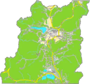
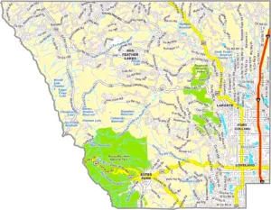
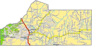
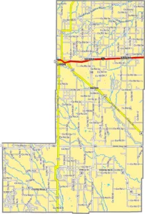
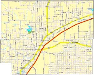
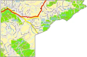
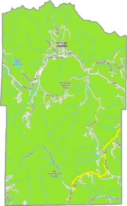
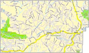
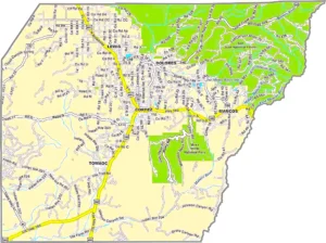
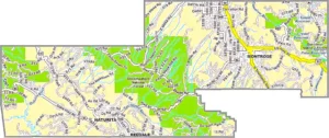
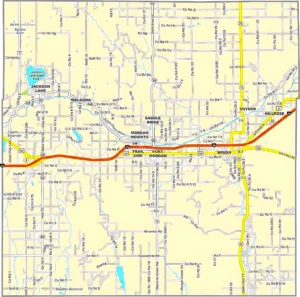
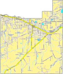
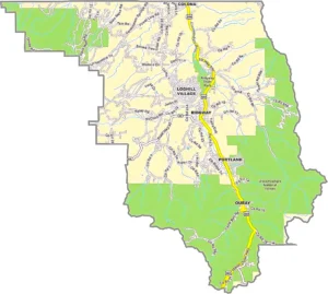
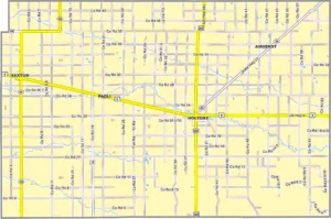
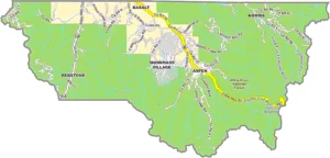
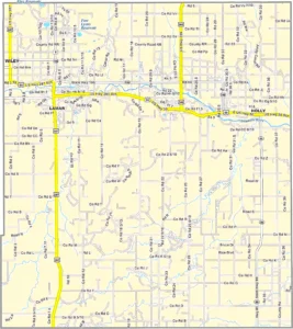
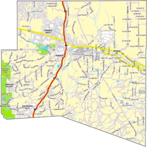
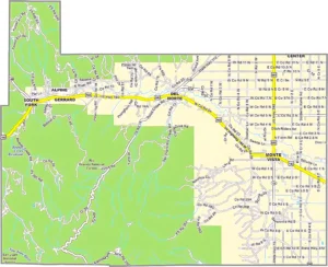
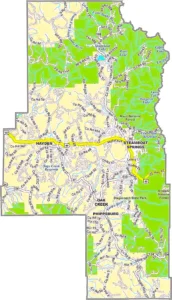
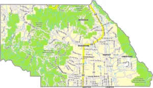
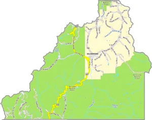
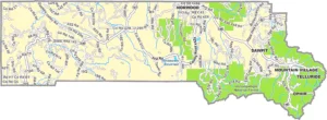
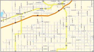
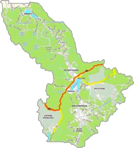
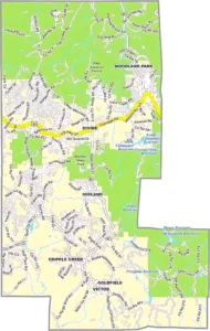
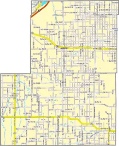
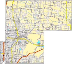
Colorado County Map Overview
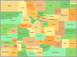
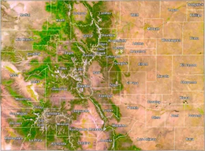
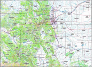
A Colorado County Map shows the boundaries and locations of all 64 counties in the state of Colorado. It is a valuable resource for travelers, students, researchers, businesses, and GIS professionals. The map helps users identify county borders, county seats, major highways, mountain ranges, rivers, and nearby cities.Colorado stretches from the Great Plains in the east to the Rocky Mountains in the west, making it one of the most geographically diverse states in the U.S. Each county has its own local government and unique history, contributing to Colorado's economy through tourism, agriculture, mining, technology, and outdoor recreation.
Colorado at a Glance
Interesting Facts About Colorado Counties
Frequently Asked Questions (FAQ)
1. How many counties are in Colorado?
Colorado has 64 counties.
2. What is the largest county in Colorado?
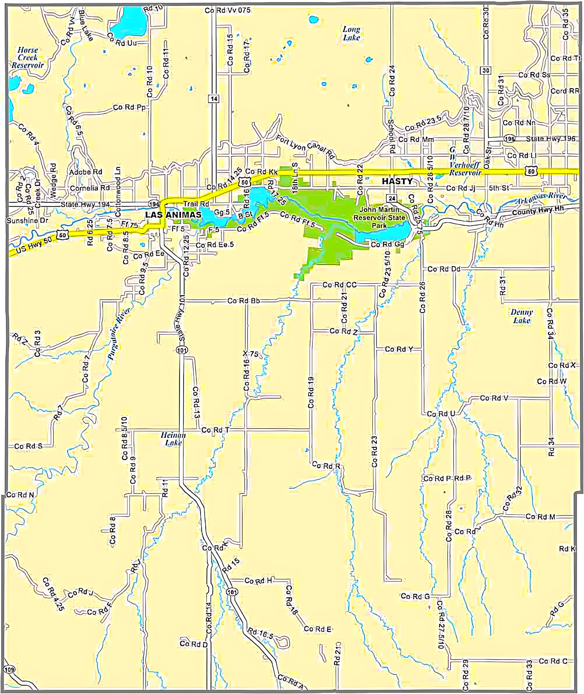
Las Animas County is the largest county by land area.
3. What is the smallest county in Colorado?
Broomfield County is the smallest county by area and was established in 2001.
4. Which county has the highest population?
El Paso County, home to Colorado Springs, has the largest population in Colorado.
5. What is the capital county of Colorado?
The state capital, Denver, is located in Denver County.
6. Which county contains the highest mountain in Colorado?
Lake County is home to Mount Elbert, the highest peak in Colorado at 14,440 feet (4,401 meters).
7. Why is a Colorado County Map useful?
A Colorado County Map helps users: Identify county boundaries, Locate county seats and major cities, Plan travel routes, Study geography and demographics, Support GIS mapping and land planning.
8. Which Colorado counties are known for skiing?
Popular ski counties include Summit, Eagle, Pitkin, Routt, and San Miguel counties.
9. Which county includes Rocky Mountain National Park?
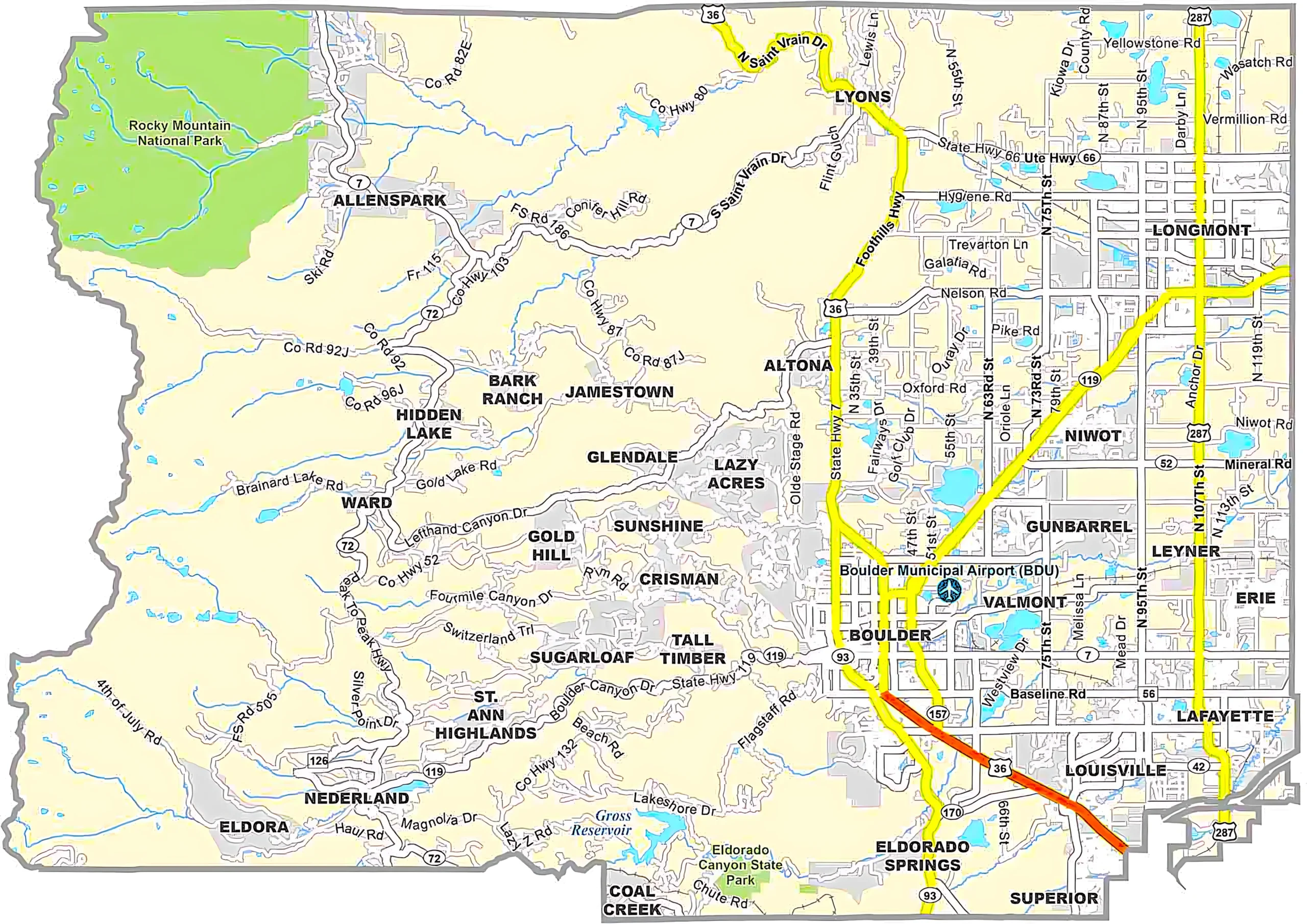
The park is primarily located in Larimer County and Grand County.
10. Where can I download a Colorado County Map?
You can download printable or GIS-compatible Colorado county maps from your website or official mapping resources for navigation, education, and geographic analysis.
Colorado County Map Conclusion
A Colorado County Map is an essential reference for understanding the state's geography and administrative boundaries. Whether you're planning a road trip through the Rocky Mountains, researching county demographics, working with GIS data, or exploring Colorado's rich history, the map provides accurate and easy-to-understand information.With 64 unique counties, Colorado offers everything from towering mountain peaks and world-famous ski resorts to vast plains, national parks, and historic mining towns. Using a county map makes navigation, education, planning, and geographic analysis much more efficient.