
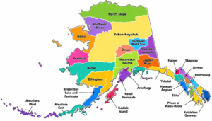
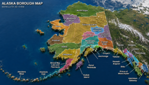
If you've ever looked at a map of Alaska, you may have noticed something unusual. Unlike most U.S. states that are divided into counties, Alaska uses a unique system of boroughs and census areas. An Alaska Borough Boundary Map helps residents, travelers, researchers, students, and businesses understand how the state's administrative regions are organized.During my research of Alaska's geography, I found that many people search for county maps but are surprised to learn that Alaska does not have counties. Instead, the state is divided into organized boroughs and the vast Unorganized Borough, which is further divided into census areas for statistical purposes.This guide explains Alaska's borough boundaries, why they exist, and how to use an Alaska Borough Boundary Map effectively.
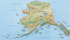
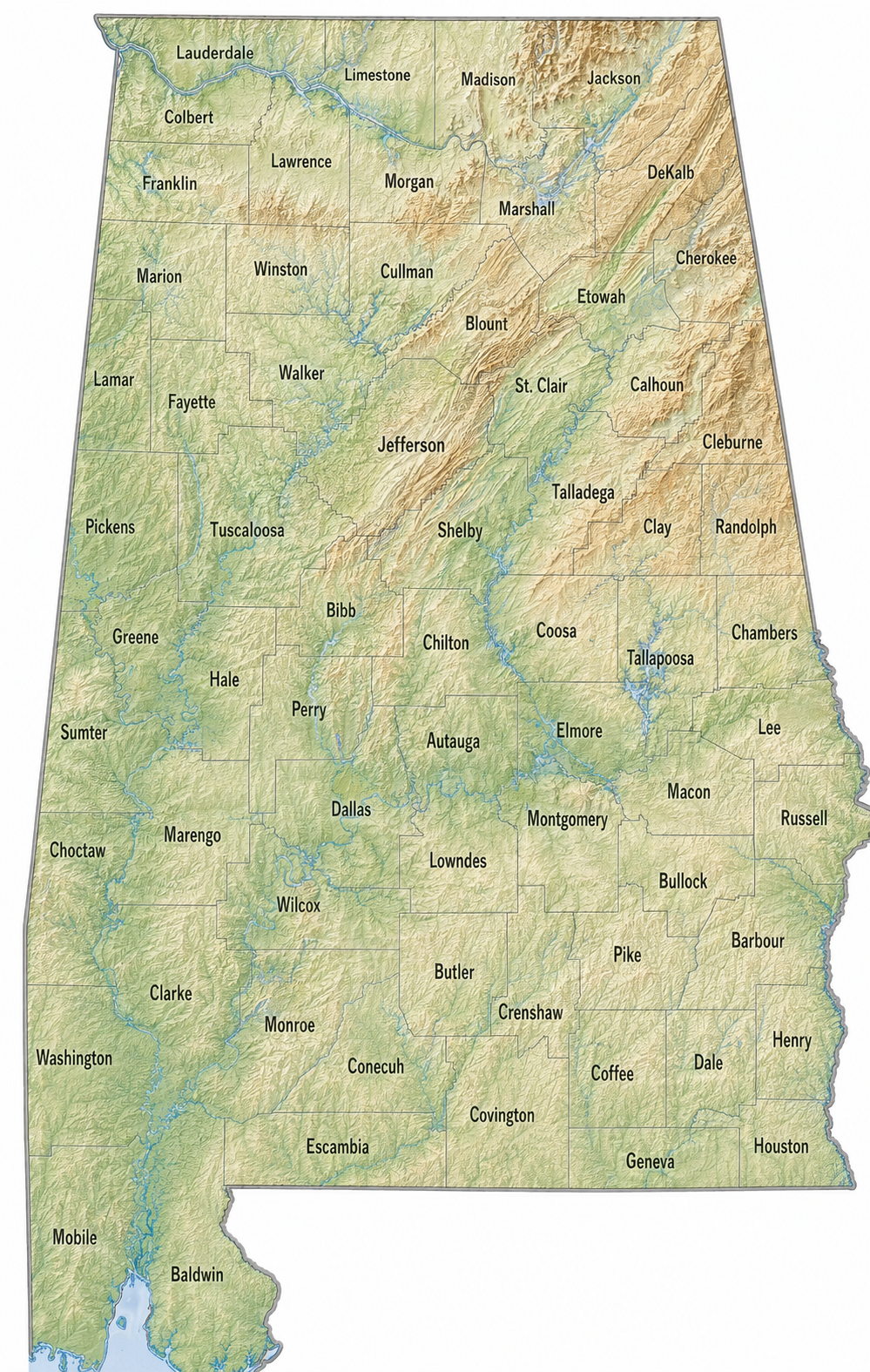
List of Alaska Boroughs and Census Areas
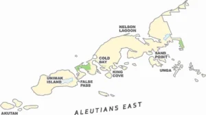

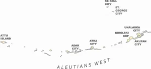
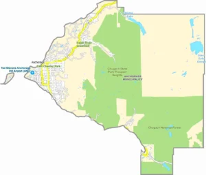

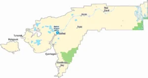

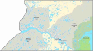

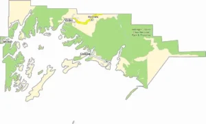

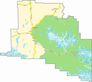

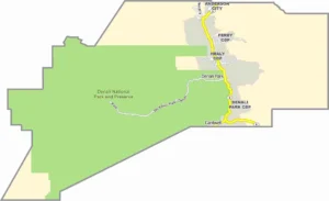
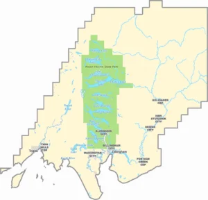

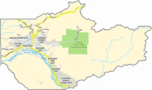

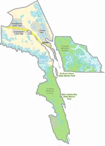

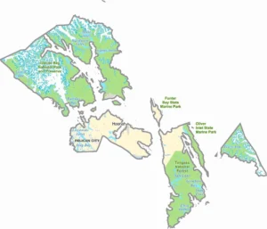

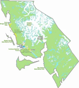

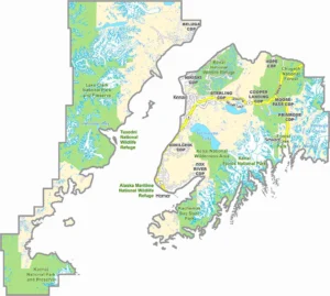

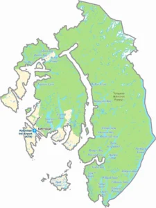

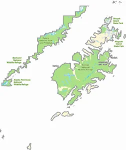

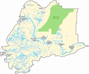

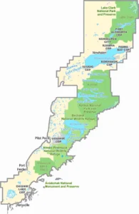

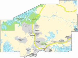

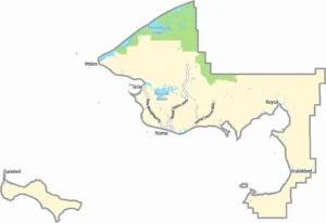

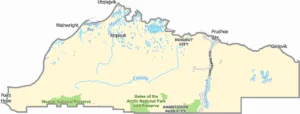

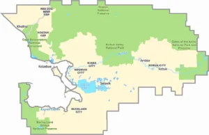

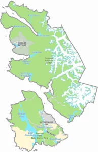

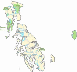

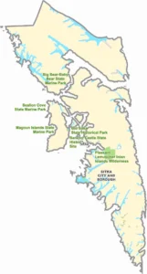

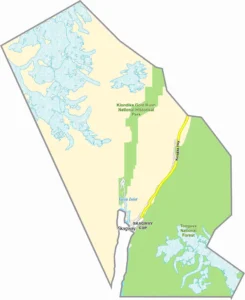

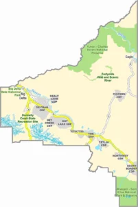

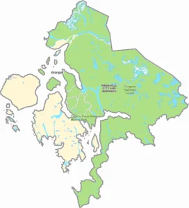

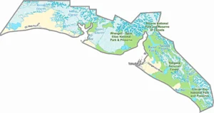

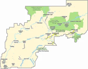

An Alaska Borough Boundary Map shows the official borders of:
The map serves a similar purpose to county maps in other states. It helps identify jurisdictional boundaries for government services, elections, planning, taxation, and demographic analysis.
Why Alaska Uses Boroughs Instead of Counties
When Alaska became the 49th state in 1959, lawmakers decided not to adopt the traditional county system used throughout most of the United States.Instead,
Alaska created a borough system designed to better fit:
Alaska Borough Map Overview
These regions collectively cover over 665,000 square miles, making Alaska the largest state in the United States.
Organized Boroughs in Alaska
The organized boroughs function similarly to counties elsewhere in America.
Major Organized Boroughs
These boroughs provide local government services such as planning, education, and public works.
Largest Borough in Alaska
North Slope Borough
he North Slope Borough covers an area larger than many U.S. states.
Smallest Borough in Alaska
Skagway Municipality
Despite its small size, Skagway plays an important role in Alaska's tourism industry.
How Borough Boundaries Affect Residents
Borough boundaries influence:
Education - School districts are often organized along borough lines.
Property Taxes - Tax rates may vary by borough.
Emergency Services- Police, fire, and rescue coverage often depend on borough jurisdictions.
Elections - Voting districts and local government representation frequently align with borough boundaries.
Infrastructure Planning - Road projects, airports, and public facilities are coordinated within borough boundaries.
Geographic Features Visible on an Alaska Borough Boundary Map
A detailed map typically includes:
Mountain Ranges
Major Rivers
Water Bodies
National Parks
Most Populated Borough
Matanuska-Susitna Borough
Often called the "Mat-Su Borough," this region has experienced rapid population growth due to its proximity to Anchorage.
Key reasons for growth:
Economic Importance of Borough Boundaries
Different boroughs specialize in different industries.
Historical Development of Alaska Boroughs
The borough system evolved gradually after statehood.
Frequently Asked Questions
Does Alaska have counties?
No. Alaska is the only U.S. state that uses boroughs instead of counties.
How many boroughs are in Alaska?
Alaska has 19 organized boroughs along with multiple census areas within the Unorganized Borough.
What is the largest borough in Alaska?
North Slope Borough is the largest organized borough by land area.
What is a census area?
A census area is a statistical subdivision used by the U.S. Census Bureau in Alaska's Unorganized Borough.
Why are borough boundaries important?
They affect local government services, elections, taxation, education, emergency response, and planning.
Conclusion
An Alaska Borough Boundary Map provides a clear picture of how Alaska is divided into boroughs and census areas. Understanding these boundaries is essential for geography enthusiasts, travelers, researchers, businesses, and residents. Unlike traditional county maps, Alaska's borough system reflects the state's unique geography, population distribution, and governance structure.
By studying borough boundaries, you gain a deeper understanding of Alaska's communities, natural landscapes, and regional organization—making any exploration of the Last Frontier far more meaningful.