
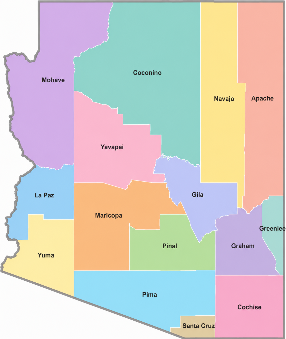
The Arizona County Map highlights all 15 counties of the state, including major cities, county seats, highways, rivers, and geographic regions. It helps users explore county boundaries, administrative divisions, and regional locations across Arizona. This map is useful for travel planning, education, research, demographics, and understanding the political and physical geography of the state.
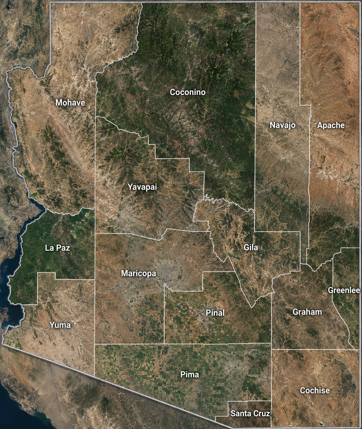
Arizona Satellite County Map
Arizona County Map : Each county stands out clearly in our satellite map of Arizona County Map. Major cities like Phoenix and Tucson show up as large gray urban clusters contrasting with the state’s natural desert and mountain landscapes.
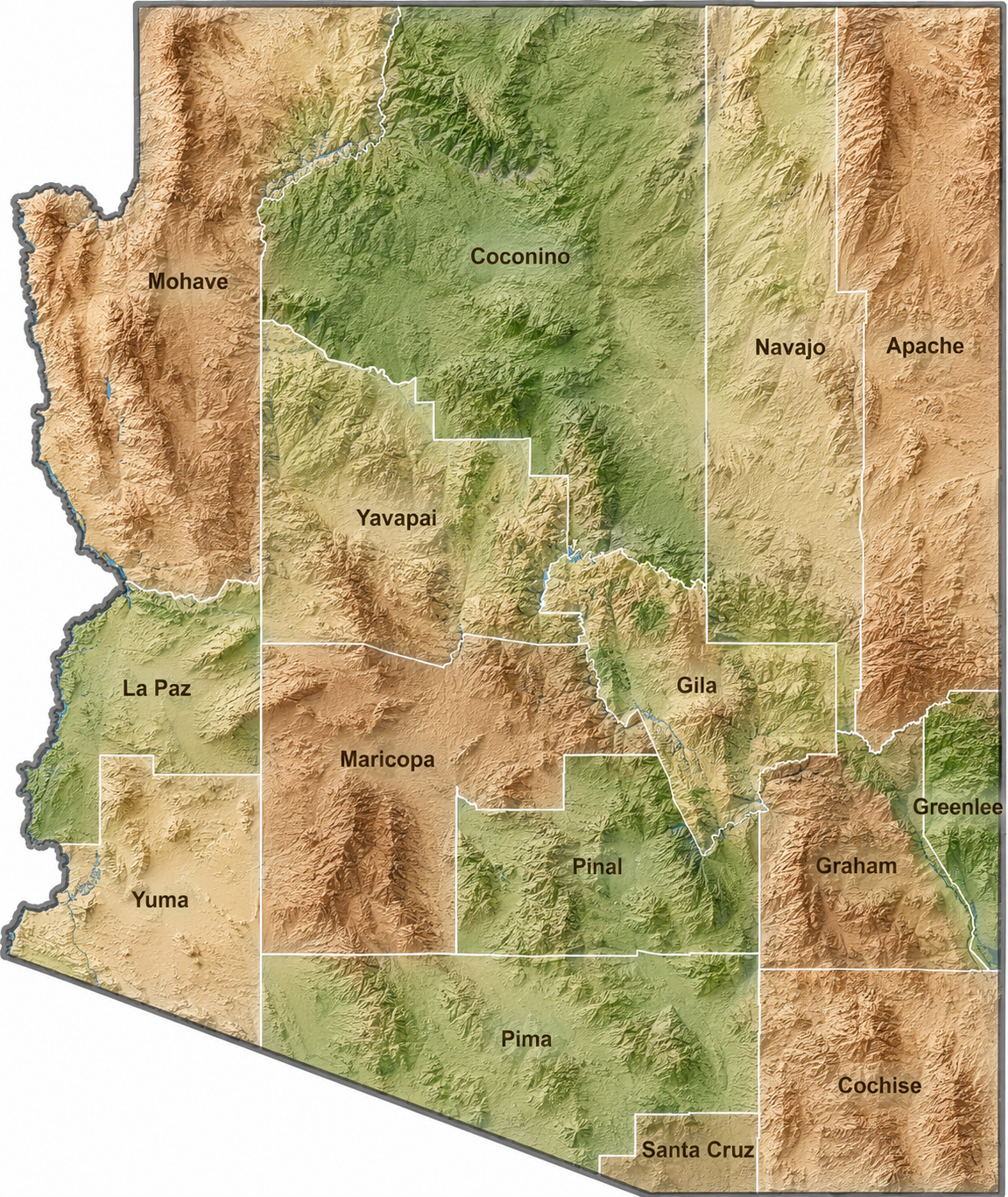
Arizona Topographic County Map
Arizona County Map : Arizona’s landscape ranges from sprawling desert valleys to towering forested plateaus. The map below showcases these elevation changes across all 15 Arizona counties.
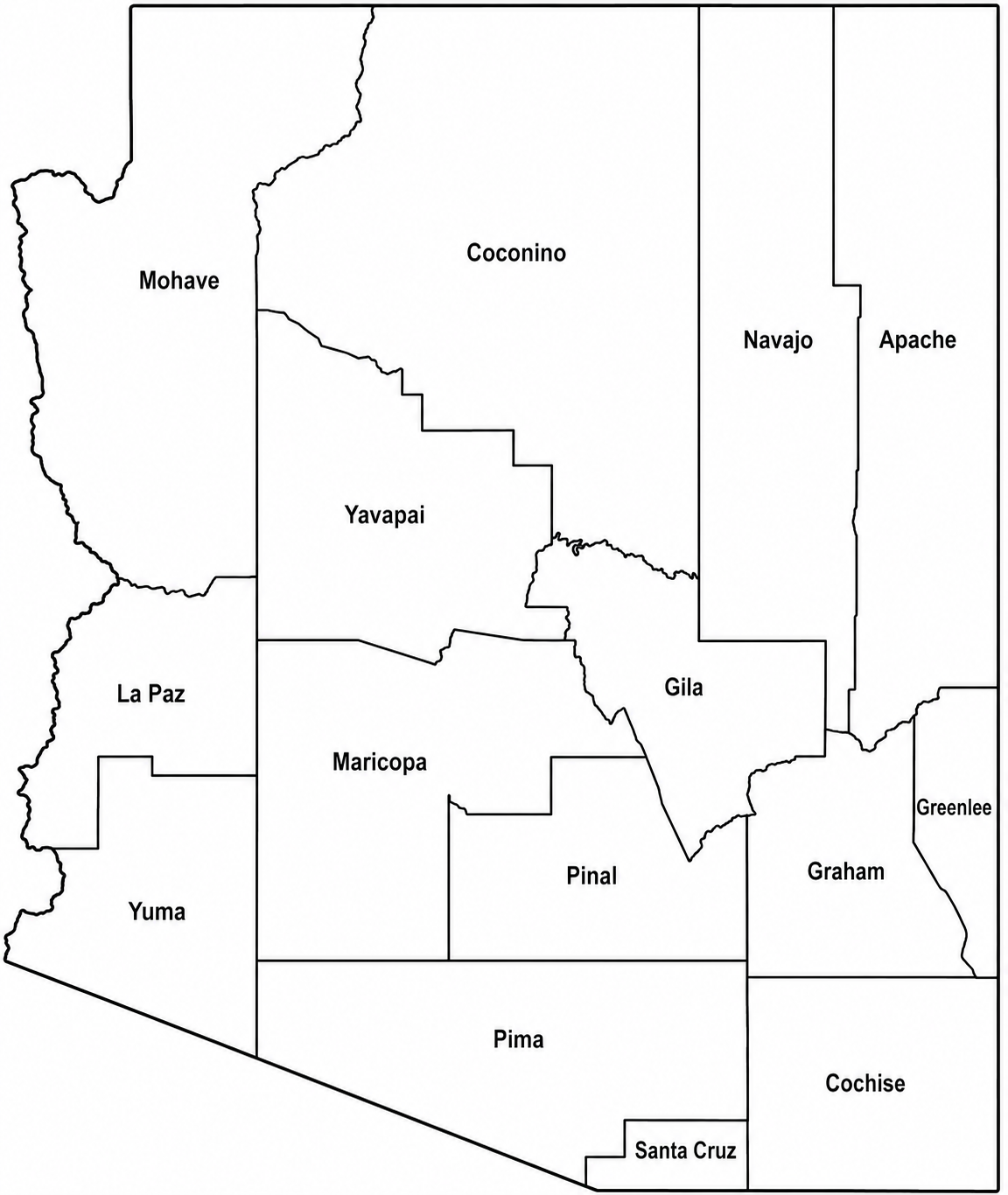
Arizona Simple County Map
Arizona County Map :This map keeps things simple with no topographic shading or satellite imagery. It offers a clear and easy way to identify where each county is located within Arizona.
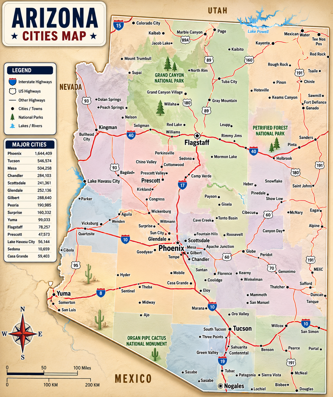
Arizona Cities Map
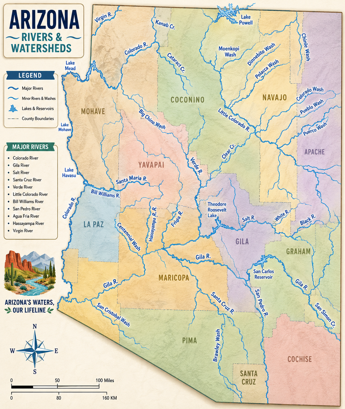
Arizona Rivers Watersheds Map
Arizona County Overview
Arizona County Map : Which county has the largest population in Arizona? That title belongs to Maricopa County, home to Phoenix, the state capital and one of the fastest-growing metropolitan areas in the country. Its massive urban spread makes it the clear population leader in the state.
On the opposite end is Greenlee County, Arizona’s least populous county. Located in the eastern part of the state, it’s known for its rugged mountain landscapes and historic copper mining communities. While it has far fewer residents, the area offers a unique charm and natural beauty.
Most Populous: Maricopa County
Least Populous: Greenlee County
When it comes to land area, Coconino County stands out as Arizona’s largest county. In fact, it’s larger than nine U.S. states and includes a significant portion of the Grand Canyon within its borders. Its vast landscapes range from desert terrain to dense forests and dramatic canyon scenery.
At the other end of the scale is Santa Cruz County, Arizona’s smallest county by area. Located along the Mexican border, it may be compact, but it’s rich in character with scenic grasslands, mountain “sky islands,” and deep cultural heritage.
Largest Area: Coconino County
Smallest Area: Santa Cruz County
Arizona’s counties each have their own unique history and identity. Apache County, for example, is named after the Apache people, reflecting the region’s deep Native American heritage. Yavapai County also draws its name from Indigenous roots, often translated as “people of the sun.” Arizona’s first county, Yuma County, was established in 1864 during the territorial days before Arizona became a state.
From the deserts of the south to the high plateaus of the north, Arizona’s counties highlight the state’s remarkable geographic diversity. Yuma County is known for its thriving winter vegetable industry, while Coconino County contains Arizona’s highest peak and vast stretches of forested land. In Arizona, it’s possible to experience snowy mountain slopes and scorching desert heat all in the same day. The state’s counties truly reflect its dramatic landscapes and varied environments.
Arizona County Map List
Below is a complete list of Arizona’s 15 counties along with important statistics and geographic details for each one.
| FIPS Code | County Name | Land % | Water % | Total Area (sq mi) |
|---|---|---|---|---|
| 04-001 | Apache County | 99.8% | 0.2% | 11,218.3 |
| 04-003 | Cochise County | 99.1% | 0.9% | 6,217.4 |
| 04-005 | Coconino County | 99.8% | 0.2% | 18,661.1 |
| 04-007 | Gila County | 99.2% | 0.8% | 4,795.5 |
| 04-009 | Graham County | 99.6% | 0.4% | 4,641.0 |
| 04-011 | Greenlee County | 99.7% | 0.3% | 1,847.3 |
| 04-012 | La Paz County | 99.7% | 0.3% | 4,513.7 |
| 04-013 | Maricopa County | 99.7% | 0.3% | 9,224.0 |
| 04-015 | Mohave County | 98.9% | 1.1% | 13,460.5 |
| 04-017 | Navajo County | 99.9% | 0.1% | 9,959.1 |
| 04-019 | Pima County | 100.0% | 0.0% | 9,189.2 |
| 04-021 | Pinal County | 99.8% | 0.2% | 5,374.4 |
| 04-023 | Santa Cruz County | 99.9% | 0.1% | 1,238.1 |
| 04-025 | Yavapai County | 99.9% | 0.1% | 8,127.9 |
| 04-027 | Yuma County | 99.9% | 0.1% | 5,519.1 |